Other
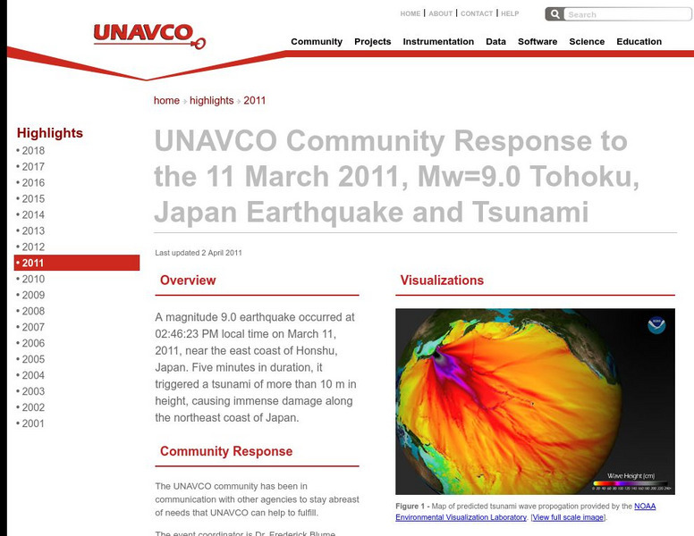
Unavco: Event Response to the Mw=9.0 Tohoku, Japan Earthquake and Tsunami
Relevant data connected to the earthquake as well as links to technical information and science websites. Also find many graphs and charts with information on the tectonic activity.
US Geological Survey
U.s. Geological Survey: Landslide Danger in the San Francisco Bay Area
Download a movie about the 1982 landslides of the San Fransisco Bay Area. Shows many devastating stories, scientific discoveries, and the destruction the landslides caused. [58:27]
US Geological Survey
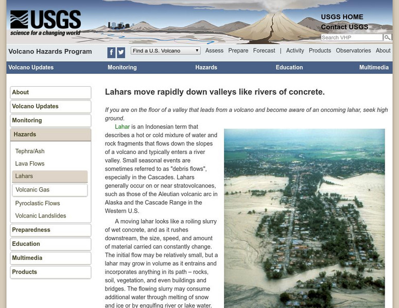
Usgs: Volcano Landslides and Their Effects
Describes what a volcano landslide is, how they occur, the effects of these landslides, and case studies.
US Geological Survey
U.s. Geological Survey: Magnitude 9.0 Near the East Coast of Honshu, Japan
Facts and figures on the earthquake and tsunami in Japan in March, 2011. Be sure to click on the tabs across the top that provide: summary, maps, scientific and technical information, as well as information on the tsunami.
US Geological Survey
Usgs: Rockslide Debris Avalanche of May 18, 1980
Provides information on the rockslide that occurred at Mount St. Helens on May 18, 1980. Site is in outline form.
US Geological Survey
Us Geological Survey:stream Gaging and Flood Forecasting [Pdf]
The U.S. Geological Survey and the National Weather Service work together to provide information at this site about floods. The site talks about two main topics on floods, stream gaging and flood forecasting.
BBC
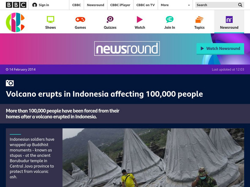
Bbc Newsround: Week of 2 17 14: Volcano Erupts in Indonesia
A slideshow of images shows how people in Indonesia have been affected by the recent eruption of a volcano.
American Geosciences Institute
American Geosciences Institute: Earth Science Week: Where Growth Meets Growth
Students identify fire risk factors for a property located near a wildland area.
US Geological Survey
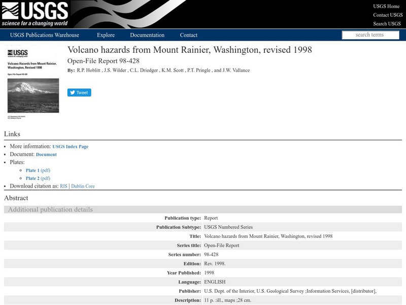
Us Geological Survey: Potential Hazards of Mt. Rainier
Mt. Rainier first erupted a million years ago. Find out all about its eruptive history and potential hazards that could threaten people today.
CK-12 Foundation
Ck 12: Earth Science: Heat Waves and Droughts
[Free Registration/Login may be required to access all resource tools.] Describes the causes and effects of heat waves and droughts.
CK-12 Foundation
Ck 12: Earth Science: Heat Waves and Droughts
[Free Registration/Login may be required to access all resource tools.] Describes the causes and effects of heat waves and droughts.
CK-12 Foundation
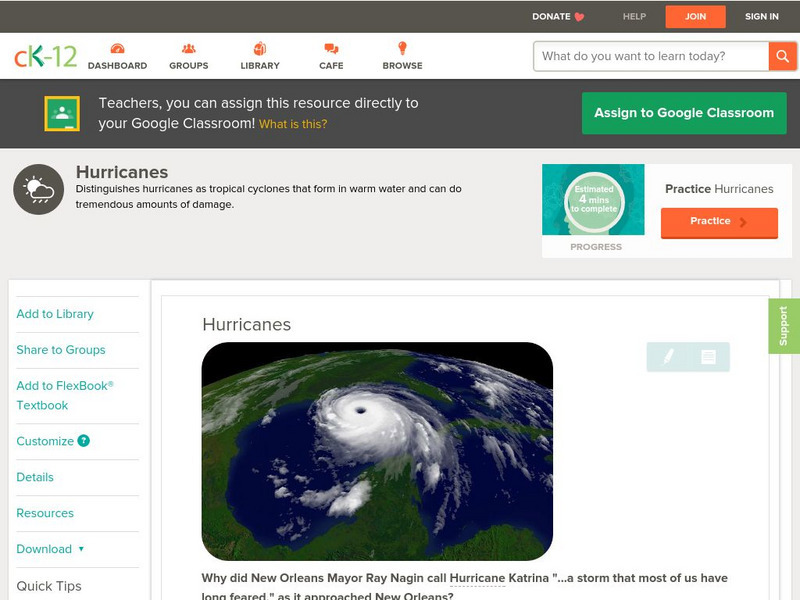
Ck 12: Earth Science: Hurricanes
[Free Registration/Login may be required to access all resource tools.] Describes how a hurricane forms and its effects.
Read Works
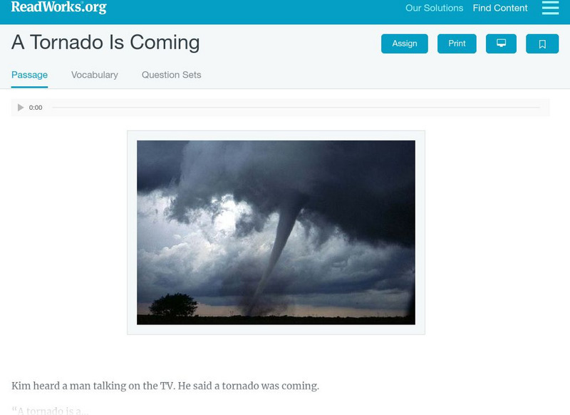
Read Works: A Tornado Is Coming
[Free Registration/Login Required] This realistic fiction passage tells the story of a family taking cover after learning that a tornado is nearby. This passage shares basic facts about tornadoes. This passage is a stand-alone curricular...
Read Works
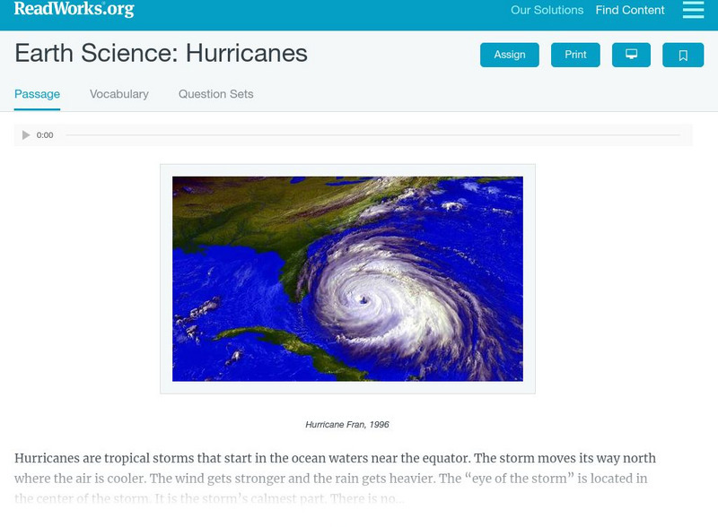
Read Works: Earth Science Hurricanes
[Free Registration/Login Required] This informational text passage shares information about tropical storms and hurricanes. This passage is a stand-alone curricular piece that reinforces essential reading skills and strategies and...
CK-12 Foundation
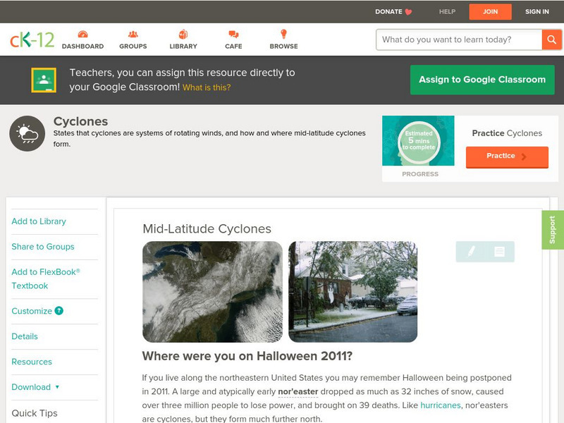
Ck 12: Earth Science: Mid Latitude Cyclones
[Free Registration/Login may be required to access all resource tools.] How mid-latitude cyclones form, and their effects.
CK-12 Foundation
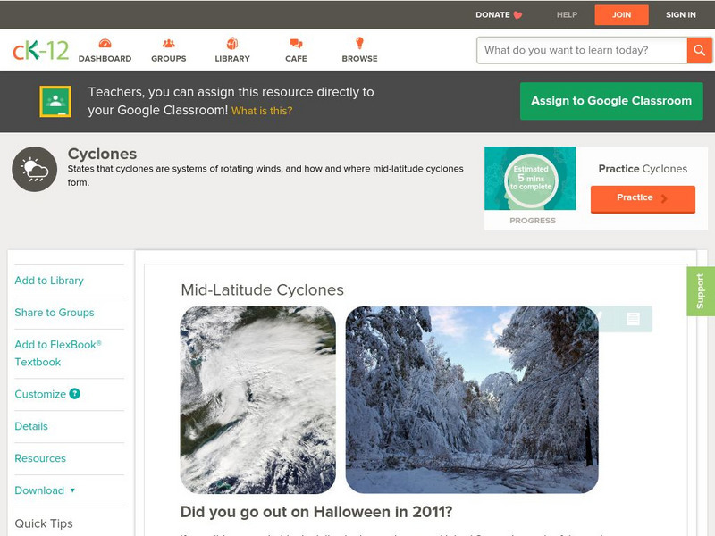
Ck 12: Earth Science: Mid Latitude Cyclones
[Free Registration/Login may be required to access all resource tools.] How mid-latitude cyclones form, and their effects.
NOAA
Noaa: Nssl: Weather Colouring Books
Print these free colouring books about tornadoes, thunderstorms and winter weather.
Ready
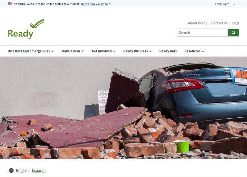
Ready: Earthquakes
This resource explains what an earthquake is, as well as what you should do to protect yourself in case of an earthquake. It contains several factsheets of information.
US Geological Survey
Usgs: Tsunami & Earthquake Research
The USGS provides an extensive section of information about tsunamis. The items presented are the basics of tsunamis regarding the Great San Francisco earthquake of April 18, 1906, tsunamis in the U.S. Pacific Northwest, and the 1998...
Other
Pacific Tsunami Museum: Home Page
This site from the Pacific Tsunami Museum provides a very extensive FAQ sheet that answers many questions about tsunamis, a tsunami picture of the month, and additional links to related topics.
NOAA
Noaa: International Tsunami Information Center: Tsunami, the Great Waves
National Oceanic and Atmospheric Administration defines a tsunami and links to related pages about what causes tsunamis and how lives can be saved from their devastation.
BBC
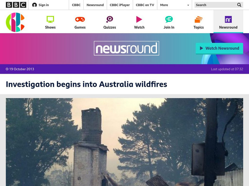
Bbc Newsround: Investigation Begins Into Australia Wildfires
Brief article explains that Australian authorities are launching an investigation into whether an Australian military exercise might have caused the massive wildfire that is causing damage in the country.
BBC
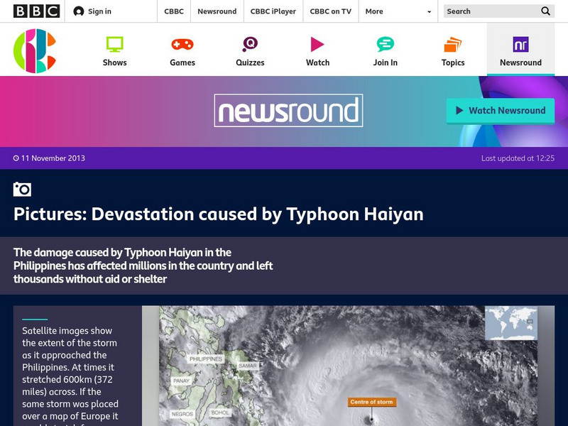
Bbc Newsround: Devastation Caused by Typhoon Haiyan
View images of the devastation caused by typhoon Haiyan as it hit the Philippines.
NOAA
Noaa: Ocean Explorer: Aerial Photography & Mapping Lesson Plan: Images of Katrina
This activity from NOAA Ocean Service is about using aerial photographs to assess the impact of extreme weather events such as Hurricane Katrina. The activity features aerial views of Biloxi, MS post-Katrina and enables students to see...
Other popular searches
- Esl Natural Disasters
- Natural Disasters Worksheets
- Natural Disasters Reading
- Types of Natural Disasters
- Art Natural Disasters
- Science Natural Disasters
- Natural Disaster Tsunami
- Natural Disaster Powerpoint
- Teaching Natural Disasters
- Natural Disaster Vocabulary:
- Math Natural Disasters
- Geography Natural Disasters


