Curated OER
Mystery State #16
In this mystery state worksheet, students answer five clues in an attempt to identify the state in question. Then, students locate it on a map.
Curated OER
Mystery State #20
In this mystery state worksheet, students answer five clues to identify the state in question. They then locate that state on a map.
Curated OER
Mystery State #7
In this mystery state worksheet, students answer five clues to identify the state in question. They then locate that state on a map.
Curated OER
Mystery State #8
In this mystery state worksheet, young scholars answer five clues to identify the state in question. They then locate that state on a map.
Curated OER
Mystery State #9
For this mystery state worksheet, students answer five clues to identify the state in question. They then locate that state on a map.
Curated OER
Mystery State #22
In this mystery state worksheet, students answer five clues to identify the state in question. They then locate that state on a map.
Curated OER
Mystery State #48
In this mystery state activity, students answer five clues to identify the state in question. They then locate that state on a map.
Curated OER
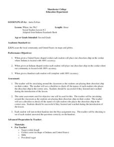
Where Are We?
Second graders identify the correct location of their city and state on a map. Through a matching activity, 2nd graders correctly identify their state on a shaped cookie map of the Unites States. They identify their city on a shaped...
Curated OER
Popcorn Geography
Students use kernels to create a "Top Corn-Producing States" map or graph. They read and round off numbers. Students identify on a U.S. outline map the location of corn-growing states. They create a visual (map or graph) illustration...
Curated OER
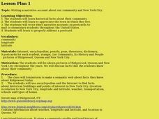
Our community and New York City
Fourth graders research websites to gather information about New York City and the Ridgewood community. For this New York City and Community lesson, 4th graders make a semantic map. Students write short postcards to send to students...
Curated OER
Unite These States
Students explore the historical events and people associated with the 13 colonies. The geographic locations of the 13 colonies and ultimately, of all 50 states are investigated.
Curated OER
In Mr. Lincoln's Shoes
Students demonstrate basic map skills. In this US history lesson, students review cardinal directions and use a compass rose while at the same time discuss what life was like for Abraham Lincoln.
Curated OER
Exploring the USA and the World with Cartograms
Middle schoolers investigate cartograms in order to explore the different countries on Earth. In this world geography activity, students use the Internet to analyze data on different cartograms. Middle schoolers compare data, such as...
Curated OER
The Southeast Region
Students write a song about the southeast region. In this southeast region lesson plan, students view pictures of landforms, hear music, look at maps of states, and more.
Curated OER
Northwest Ordinance
Students examine the area where the Northwest Territory was located. They discover the steps territories need to follow to become states. They create a map of the Northwest Territory and label the states that came out of that region.
Curated OER
Traveling with Flat Stanley
students use the internet to gather geographical data about a state of their choice. Using new vocabulary, they describe the features present in the state, its climate and attractions. They develop a PowerPoint presentation to share...
Curated OER
The Pilgrims
Students use distance measuring tools to follow directions and chart the path the pilgrims made from Plymouth, England to Boston, Massachusetts. In this Pilgrim voyage lesson, students use a map to chart the distance traveled by the...
Curated OER
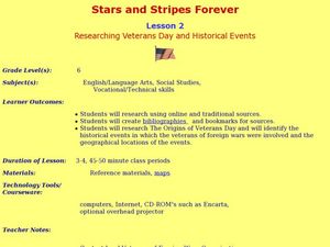
Stars and Stripes Forever: Researching Veteran's Day and Historical Events
Sixth graders research Veteran's Day and wars that affected the United States. In this research lesson plan, 6th graders work in small groups to create an oral presentation based on Internet and conventional research. They complete...
Curated OER
Lesson 2 Activity 2: In the Wake of Lewis and Clark
Learners study the route of Meriwether Lewis and iam Clark's travels and the important events in their journey. They mark the sites on a map and then plan a trip along part of the route.
Curated OER
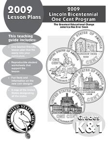
State Quarter Game
Investigate the 50 State Quarter's Program. Learners view and discuss the images on the Indiana state quarter, develop a list of questions about the states, conduct research to answer the questions, and play a game using the questions...
Curated OER
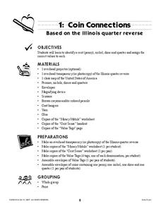
Coin Connections
A wonderful lesson on identifying the penny, nickel, dime, and quarter awaits your young mathematicians. They engage in a multi-session lesson which allows them to practice using the values of each coin in worksheets and activities...
Curated OER
Big Blue Sky- Based on the Montana Quarter Reverse
Students use a Montana quarter to help describe geographical features such as landforms and bodies of water. Students read an article about Montana as a group and discuss examples of landforms and bodies of water. After reading,...
Curated OER
European Exploration, Trade and Colonization
Students complete many activities including mapping, reading books, and Internet research to learn about European exploration. In this European lesson plan, students study geographical mapping, trade, and colonization.
Curated OER
The Impact of AIDS in Africa and its Effect on the United States
Eleventh graders explain the social devastation visited on seven nations of sub-Saharan Africa by the AIDS pandemic, with particular emphasis on the damage to educational systems, women, and Students.


