Curated OER
The Countries of Slave Trade
Pupils create graphs, routes, and write an essay based on their research of the slave trade. In this slave trade lesson plan, students research the Middle Passage and how slave trade happened in the United States.
Curated OER
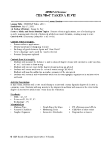
CEENBoT Takes a Dive
Students create a map to scale using technology. For this algebra lesson, students navigate through a shipwreck to perform rescues. They use he CEENBoT program to perform the different tasks.
Curated OER
Conquering North America
Students create a study guide on colonization of North America. In this American Colonization lesson, students complete a chart of explorers and their conquests. Students complete a crossword puzzle using explorer facts. Students read...
Curated OER
Social Studies: Towne Planning in Tidewater
Young scholars discover how European values dominated colonial life. They also examine the effects of slavery in the Americas. Students compare the planning of their home town with that of colonial Williamsburg. They locate key sites...
Curated OER
Las Vegas Mormon Fort
Learners use maps, readings, letters, photos and drawings to identify why Mormons came to the Las Vegas area and what they hoped to accomplish by establishing an outpost. They consider the roles of early women pioneers and outline their...
Curated OER
The First Texans
Fourth graders discover the different groups of people who colonized Texas. They research their way of life and create an informative and creative booklet.
Curated OER
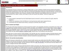
The Tet Offensive and the Vietnam War
High schoolers discover how the United States became involved in the Vietnam War, the importance of the Tet Offensive in turning American public opinion against the war, and how the Vietnam War is still a part of American life and culture.
Curated OER
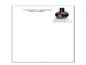
Indian Women in Texas History
Fourth graders study Indian women in Texas. In this US history instructional activity, 4th graders discuss what each Indian woman's contribution was by completing a timeline and table. Students examine the Caddo Women's pottery tradition...
Curated OER
Lawson's Many Roles
Students examine the life of John Lawson and his many roles he took on during his life. Using their text, they discover the area in which he traveled and lived. They write an essay about his movements and identifying his contacts in...
Curated OER
I'm Dreaming of a Sustainable Christmas
Students examine global trade. In this global economics lesson, students visit websites to learn about trade with China and the environmental damage of global trade.
Curated OER
Other Native American Groups
Fourth graders identify the three Native American groups highlighted in this lesson plan. In this Native American lesson plan, 4th graders answer comprehension questions, and classify the adaptations of the groups in a worksheet.
Curated OER
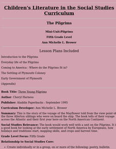
Three Young Pilgrims
Fifth graders study the story of the voyage of the Mayflower told from the view point of the three Allerton siblings who were on board the ship. The book tells of their voyage across the Atlantic and their first year here on the North...
Curated OER
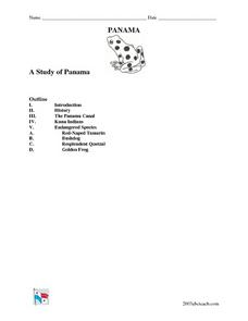
A Study of Panama
In this instructional activity on Panama, students read an introduction about Panama, then read about its history, The Panama Canal, the Kuna Indians and the Endangered Species of Panama. After each selection, students answer a set of...
Curated OER
The Tet Offensive and the Vietnam War
Students comprehend how the United States became involved in what one historian called the quagmire. Students identify and analyze the importance of the Tet Offensive in turning American public opinion against the Vietnam War. Students...
Curated OER
Why Not Come to North Amercia?
Students examine the motives for French expansion into the New World, they evaluate primary source documents to determine who, what, when, where and why.
Curated OER
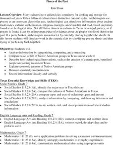
Pieces of the Past
Seventh graders compare and contrast the way of life of Native Americans in Texas and around the country. As a class, they brainstorm about the uses of pottery today and use broken pieces of pottery to create an artifact. In groups,...
University of Calgary
European Voyages of Exploration: 15th & 16th Centuries
This award-winning website from the University of Calgary's History Department is both impressive and extensive. It focuses on Portuguese and Spanish expeditions of the 15th and 16th centuries (the sitemap provides a good outline of...
Cool Math
Coolmath: Coolmath Games: Map Snap: Europe
You are presented with an outline map of Europe and you must place each country in its correct position. It clicks into place if you're in the right spot. You may want to start with the practice mode which has the shape outlines of the...
Curated OER
Etc: Maps Etc: Native Territories and European Possessions in Africa, 1876
A map of Africa in 1876 showing native African States and European possessions of Britain, France, Spain and Portugal prior to the Berlin Conference of 1885. On this map, European possessions include Algeria, Cape Colony, Griquala Land...
Curated OER
Etc: Maps Etc: European Possessions of Africa, 1906
A map of Africa after the Berlin Conference of 1885, which established the European colonial territory claims on the continent. This map shows the Belgian, British, French, German, Italian, Portuguese, and Spanish claims, and the Turkish...
Curated OER
Educational Technology Clearinghouse: Maps Etc: Colonial Africa, 1904
A map of Africa shortly after the Berlin Conference of 1885, which established the European colonial territory claims on the continent. These European and independent boundaries include Algeria and the Saharan Sphere of French Influence,...
Curated OER
Educational Technology Clearinghouse: Maps Etc: Pre Colonial Africa, 1870
A physical and political map of Africa prior to the Berlin Conference of 1885, which established the European colonial territory claims on the continent. This map shows the African states of Morocco, Algiers (Algeria), Tripoli, Egypt,...
Curated OER
Educational Technology Clearinghouse: Maps Etc: Pre Colonial Africa, 1872
A map of Africa showing the continent prior to the Berlin Conference of 1885, when the most powerful countries in Europe at the time convened to make their territorial claims on Africa and establish their colonial borders at the start of...
Curated OER
Etc: Maps Etc: Physical and Political Map of Africa, 1879
Map of pre-colonial Africa, showing the predominately native countries and territories of the African continent in 1879. The counties include the Barbary States of Morocco, Algeria, Tunis, Tripoli and Fezzan, the Egyptian territories of...


