NOAA
Coastal Dynamics
Life's a beach! The 16th installment of a 23-part NOAA Enrichment in Marine sciences and Oceanography (NEMO) program first examines different types of coasts and how they form. An activity then has learners investigate the shoreline...
Columbus City Schools
Constructive and Destructive Geologic Processes
Show the class the world as they've never seen it before—from way above! Learners try to unravel the mysteries presented by rich satellite imagery, learn to interpret topographic maps, and study erosion by constructing their very own...
Curated OER
The Work of Waves and Wind
This is not revolutionary, but it is informative. Earth science viewers in grades 7-12 get carried away with wave and wind erosion. They view diagrams of how waves impact ocean shorelines. They see examples of the different types of sand...
NorthEast Ohio Geoscience Education Outreach
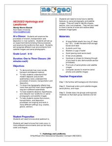
Hydrology and Landforms
Three days of erosion exploration await your elementary geologists. Learners begin by examining rivers via Google Earth, then they model water flow in sand, and finally, they identify resulting landforms. This lesson is written...
Curated OER
Martian Earth Tours
Students study a variety of global wetland habitats, their similarities and differences. They examine the variety of life that such wetlands support and determine that many animals and plants are adapted to life in wetlands, that...
Curated OER
Can You SEA Walls?
Learners explore how wave energy that is generated and transferred in the ocean. They explore the aspects of a wave and how its energy affects the ecology of the seashore. Students engage in an activity that uses the nature of science...
Curated OER
A World in a Grain of Sand
Students go exploring Britain's beaches. In this geography lesson, students visit selected websites to learn about specific beach habitats and the history of cleaning those beaches.
Curated OER
See That Sound?
Students study sonar and will explain the concept of it and its major components. For this design lesson students build a low-cost sonar system.
Science Education Resource Center at Carleton College
Serc: Geologic Field Study: Investigating Coastal Features of Lake Superior
In this geologic field investigation, students investigate the coastal geologic features of the western side of Lake Superior, and then develop inferences on the origins of the current coastal features.
CK-12 Foundation
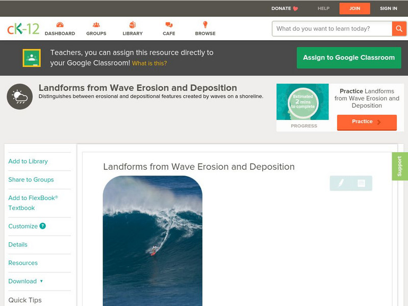
Ck 12: Earth Science: Landforms From Wave Erosion and Deposition
[Free Registration/Login may be required to access all resource tools.] Distinguishes between erosional and depositional features created by ocean waves on a shoreline.
Geographypods
Geographypods: Theme 2: Natural Environments
A rich collection of highly engaging learning modules on topics related to the natural environment. Covers four main areas - plate tectonics, forms and processes, weather and climate, and rainforest and desert. Within each of these,...
Curated OER
Etc: Maps Etc: Drainage on the Laurentian Plateau, 1911
A map from 1911 of a portion of the Laurentian Plateau region of North America showing the drainage and lake network west of Lake Nipigon. The map shows the division line for waters flowing to the Albany and the Winnipeg river systems,...


