Curated OER
Is There Ice on Mercury?
In this ice on Mercury learning exercise, students read about the data collected from the NASA Messenger and the Arecibo Radio Telescope indicating the possibility of ice on Mercury. Students solve 6 problems including finding the scale...
Curated OER
Global Connections: Internet Research
In this geography Internet research learning exercise, learners find out facts about the capital cities of 12 nations. Students then research facts about Australia, and also find out the country of origin for 4 prominent organizations...
Curated OER
Mapping your watershed
Learners investigate the importance of watersheds around the world. By visiting resource links, students can locate watersheds and their sources in the USA and Russia and analyze their effects on the surrounding topography. This lesson...
Curated OER
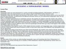
Building a Topographic Model
Young scholars explore Mount Shasta and various locations on Mars to examine ways geographical data can be represented. They study topographic maps and translating data from 2-Dimensions to 3-Dimensions.
Curated OER
Did You Feel That? Earthquake Data Chart
Students plot earthquakes on the world map using coordinates of longitude and latitude. They designate the earthquakes magnitude with a symbol which they include in the map key.
Curated OER
Analyzing Meteorological Data From Mars
High schoolers compare real-time Earth and Mars measurements for temperature, wind speed, humidity and atmospheric pressure by accessing Internet-data resources from NASA. They access real-time weather data and maps for their school...
Curated OER
It'll Go With the Flow...
Students construct a water table elevation contour map and consider the direction and rate of groundwater flow to predict the actual runoff pattern. They discuss their findings and evaluate a hypothetical landfill site based on data...
Curated OER
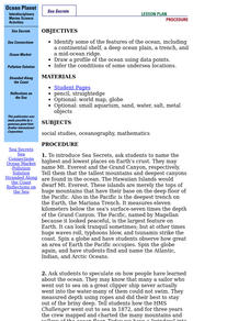
Ocean Planet: Sea Secrets
Students identify ocean features and draw a profile using data points on a map. Through discussion and research, they discover the importance of oceanography and plot a profile of the ocean floor in search for a vessel full of precious...
Curated OER
Crash of Flight 111
Learners identify the locations on a map of the airplane crashes discussed in this lesson. After watching a video, they discuss the importance of an investigation after a plane crash. They use the same information as the investigators...
Curated OER
Eagle Creek Park (A Hike)
Students plot a hiking course using aerial photos and a topographic overlay and find the latitude and longitude of absolute locations. They measure the total distance of a hiked area and figure the area of the ground walked using Heron's...
It's About Time
Taking a Ride on a Lithospheric Plate
Assist your pupils and broaden their horizons with several activities that determine the exact positioning of various communities over the globe. Pupils use data from the Global Positioning System to determine the position and rate of...
Channel Islands Film
Arlington Springs Man: Lesson Plan 2
West of the West's documentary Arlington Springs Man and a two-page scientific article about the same topic provide the text for a reading comprehension exercise that asks individuals to craft a one page summary of information gathered...
Curated OER
Measuring the Earth
Students identify types of arcs and angles in a circle, find the measure of arcs and angles, and solve real world problems involving lengths of segments in circles, lengths, and areas.
Curated OER
Geological Forces and Topography
Students discuss and research the Earth's geological processes. In this geology lesson plan, students study maps of Utah and the United States to learn about geological features. Students then complete the research cards for each area of...
Curated OER
Wet Water, Dry Land
Young scholars observe and examine relationship between landforms and bodies of water, recognizing differences between them. Students then define island, peninsula, isthmus, archipelago, lake, bay, straight, system of lakes, and identify...
Curated OER
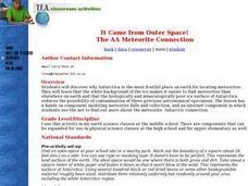
It Came from Outer Space! The AA Meteorite Connection
Young scholars discover why Antarctica is the most fruitful place on earth for locating meteorites. They work in groups. Students are given a Museum or University Name for each group. They are explained that each group is allowed to...
Curated OER
The Grand Canyon
Fourth graders study the Grand Canyon. They research the Grand Canyon and locate the Colorado River on the map of Arizona. They discuss erosion and read how sedimentary rock was formed. They view photographs of the Grand Canyon and...
Curated OER
PLATE MOVEMENTS AND CLIMATE CHANGE
Pupils label three geological maps with continents provided to analyze the relationships between the movement of tectonic plates and the changes in the climate. In small groups, they discuss their findings and form hypotheses about the...
Curated OER
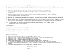
Where Oh Where on the Playground, Do I Love To Be?
Students listen to poem, Where Oh Where On the Playground, Do I Love to Be?, and practice reading, interpreting, and making maps, charts, and graphs in surveying classmates and discussing their favorite places to play in school playground.
Curated OER
Volcanoes, Earthquakes, and Tsunamis
Middle schoolers work in groups to research a tsunami, earthquake, or volcano. They use the internet to find information, and create a presentation. Each presentation should include a definition of their phenomenon, an illustration,...
Mathematics Assessment Project
Designing a 3d Product in 2d: a Sports Bag
Sew up pupil interest with an engaging, hands-on instructional activity. Learners first design a sports bag given constraints on the dimensions of fabric. They then evaluate provided sample responses to identify strengths and weaknesses...
Curated OER
Groundwater Pollution Site Assessment
Students study how a geologist examines a hazardous waste spill using an actual site. They use site data to map the spill, find its source and determine how fast the spill is spreading.
Curated OER
2 x 2
Students work together to grid a 2 x 2 meter unit using the formula for the Pythagorean Theorem. After creating the grid, they identify the location of artifacts and create a map of their location. They develop a graph and table of their...
Curated OER
Planting A Garden On Campus
Students investigate the school campus area in order to plan the best spot for a class garden. They create a map of the school and research the different types of soil that exist in order to find the best spot. The class takes the...


