NASA
Nasa Earth Observatory: Natural Hazards: Fires
Browse forest fires across the world. Learn about these natural hazards as you browse by date or region.
Other
Claude Monet's Garden at Giverny
This site contains detailed information on Claude Monet's House and Gardens. Throughout the entire site, there are beautiful pictures of the house and the gardens surrounding the house. A map of the garden is also available.
ClassFlow
Class Flow: Continents of the World
[Free Registration/Login Required] This flipchart is devoted to identifying, locating, and learning facts about the 7 continents. It contains interactive maps, facts, and a short video at the end.
PBS
Pbs|cet: The Story of the Jews With Simon Schama
Simon Schama travels through three thousand years of Jewish history across Europe, the Middle East, Northern Africa, Bermuda, and into the United States. Notable historical data and images are presented through an interactive map.
University of California
Uc Santa Barbara: What Brought the Europeans to America?
Short essay addresses reasons that brought the Europeans to America. Covering many important points, he also provides compelling reasons and a map.
Curated OER
Etc: Claims of Various European Countries to the Us, 1643 1655
A map of the eastern coast of North America showing territorial claims of Europeans and the development of the United Colonies of New England (New England Confederation) in 1643, and the territorial changes between the Dutch and British...
National Endowment for the Humanities
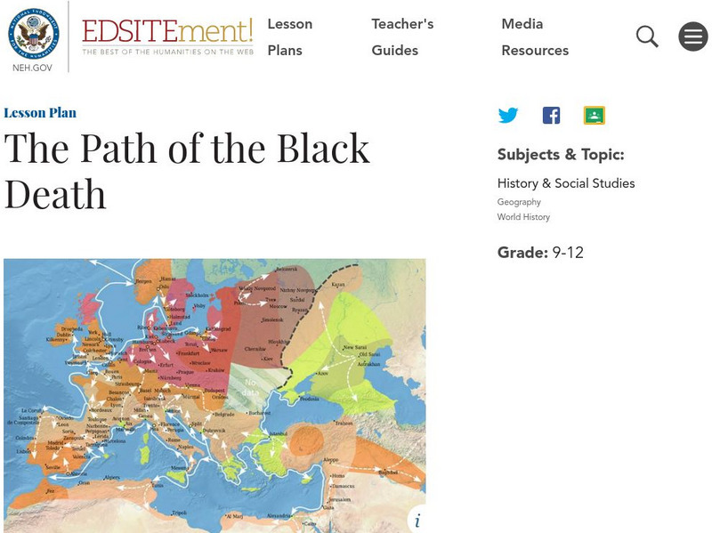
Neh: Edsit Ement: The Path of the Black Death
The Black Death caused a radical alteration in population and dramatic changes in society. In this instructional activity, students will analyze maps, documents, and firsthand accounts to trace the effects of the Black Death in Europe.
US Army Center
U.s. Army Center of Military History: The Centennial: Omar Nelson Bradley
This lengthy biography of General Omar Bradley was written on the centennial of his birth. It traces his life as a military man through World War I, World War II, and Chairman of the Joint Chiefs of Staff. Included is a map that shows...
Other
European Library: Napoleonic Wars: 1799 1815 (French)
Digitized collection of primary source materials (texts, maps, and illustrations) tells the story of the wars Napoleon fought in the early nineteenth century to extend French power across Europe. Primarily in French.
Other
Dublin Ireland
A brief description of Dublin, Ireland with links to its history and some famous sites within Dublin.
A&E Television
History.com: How Far Did Ancient Rome Spread?
Legend has it that Romulus and Remus -- twin brothers who were also demi-gods -- founded Rome on the River Tiber in 753 B.C. Over the next eight and a half centuries, it grew from a small town of pig farmers into a vast empire that...
Curated OER
Latitude: The Art and Science of 15th Century Navigation
This is a great site to read about how navigation began in Europe and what tools were used. Make sure to read the segments on coastal navigation, maps, and ocean currents.
Curated OER
How Accurately Did They Know the World in 1516?
This is a great site to read about how navigation began in Europe and what tools were used. Make sure to read the segments on coastal navigation, maps, and ocean currents.
Other
Liechtenstein
This resource has very comprehensive map of Liechtenstein. It also has a brief history of the country.
Other
Andorra
This is a map of Andorra that includes all of the major cities and rivers. Also provides a history of Andorra's government.
Curated OER
Map of Poland
Information about the history of Poland includes details about the De-Stalinization of Poland and the regime of First Secretary Wladyslaw Gomulka.
Curated OER
National Geographic for Kids: Find People and Places: Russia
Welcome to Russia! Follow this interactive overview of the country's history, geography, people, government, nature, and more. A map and video are included.
Friesian School
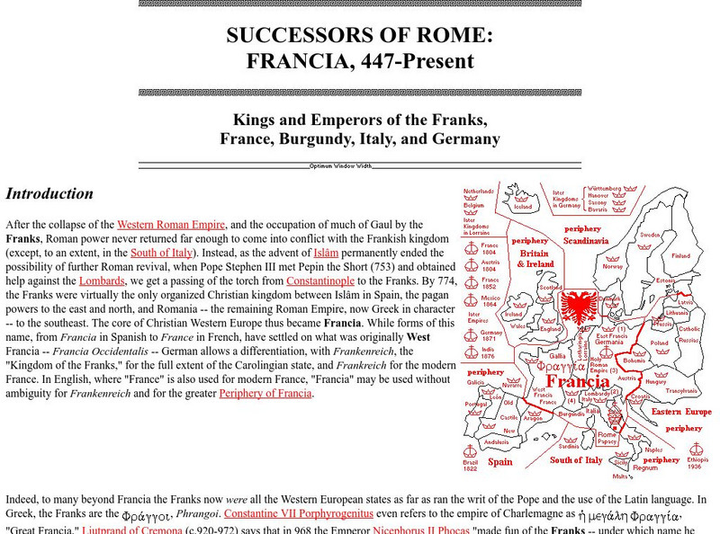
Friesian School: Successors of Rome: Francia, 447 Present
The Friesian School gives a description of the Kings and Emperors of France and the Frank influence in northern Europe. There are also detailed maps.
University of Florida
Baldwin Library: The Eclectic Elementary Geography by American Book Company
This is an online photocopy of the original text of the children's book The Eclectic Elementary Geography by American Book Company (1883), an elementary geography textbook including maps, information about areas and people of the United...
Other
Kingsnake: Vipera Aspis
Distributed throughout Europe, the Vipera aspis, is a venomous snake that preys mostly on rodents and lizards. Distribution map of Italy, pictures, and dimensions are included.
United Nations
Unesco: Longobards in Italy: Places of Power (568 774 Ad)
The Longoboards buildings reflect the accomplishments of the Lombards, a Germanic culture originally from northern Europe. These early medieval buildings are located across the Italian Peninsula and date from the 6th to 8th centuries....
University of Iowa
University of Iowa Libraries: The Atlas of Early Printing
View this interactive reference tool to learn about the history of printing in Europe during the fifteenth century. Features a map that displays layers of information that can be viewed together or individually along with a timeline of...
US Holocaust Memorial Museum
U.s. Holocaust Memorial Museum: German Soviet Pact
Read about the agreement between the Germans and Soviets that contained a secret section that provided for the partition of Poland and other parts of Eastern Europe between the two countries. Includes photographs, a map, and archival...
Other popular searches
- Blank Maps of Europe
- Outline Maps of Europe
- Geography Maps of Europe
- Maps of Europe 1914
- Maps of Europe Political
- Maps of Europe Ppt
- Maps of Europe Pot
- Maps of Europe 1919
- Europe Maps
- Europe Outline Maps
- Europe Geography Maps
- Western Europe Maps


