Curated OER
Can You Adapt?
Using the Montana State Quarter, learners engage in activities designed to help increase their understanding about how animals must change their social and physical behaviors in order to adapt to their environment. Excellent worksheets...
Curated OER
City, County, Community
Students explore issues and situations that make for a city and its local environments. In this local government activity, students design maps, define issues and create brochures that illustrate their understandings of these concepts...
US Apple Association
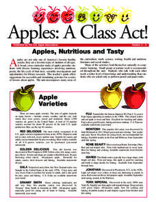
Apples: A Class Act! (Grades 4–6)
Middle schoolers have a bushel of fun as they engage in activities and research core facts about apples. Packed with suggestions for in-class activities and out-of-class research, the colorful 6-page packet is sure to satisfy hungry...
Curated OER
Neither Wind Nor Rain
Here is another in the interesting series of lessons that use the special State Quarters as a learning tool. This one uses the North Dakota State Quarter. During this instructional activity, your class learns about the different patterns...
Echoes & Reflections
Studying The Holocaust
While many young scholars are familiar with the Holocaust, they may not understand the specific history that led to the unprecedented atrocity. The first lesson in the unit helps teachers gauge their pupils' background knowledge. A...
Curated OER
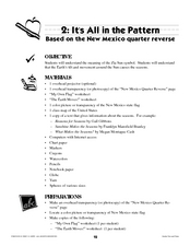
It's All in the Pattern
Here is a fantastic, nine-page, multi-session lesson plan on the Zia Sun Symbol (found on the New Mexico state flag), and the seasons of the Earth. Everything you need to implement the activity is here, and the many engaging activities...
Curated OER
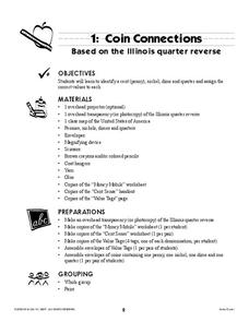
Coin Connections
A wonderful lesson on identifying the penny, nickel, dime, and quarter awaits your young mathematicians. They engage in a multi-session lesson which allows them to practice using the values of each coin in worksheets and activities...
Curated OER
Follow the Leader
Here is a phenomenal lesson on the three branches of government for your second and third-graders. It presents this often-confusing information in an easy-to-understand format. Many excellent activities and worksheets are embedded in the...
Houghton Mifflin Harcourt
Voyagers: Challenge Activities (Theme 5)
Young voyagers face the challenge of the wide dark sea, travel with Yunmi and Halmoni, and even get trapped by the ice as they explore the reading selections offered in these enrichment activities designed for the Houghton Mifflin...
Curated OER
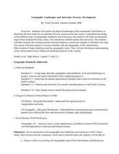
Geographic Landscapes and Interstate Freeway Development
Students investigate the topography of the United States through a discovery lesson. They create a hypothetical route for a highway across the United States. Students also conduct research major landforms and define geographic terms.
Curated OER
Mapping the United States
Fifth graders research assigned states. They identify the capital, the climate, industries,rivers, and native animals.
Curated OER
U.S. And Global Deforestation
Young scholars analyze graph showing global deforestation, view photograph of deforestation in Brazil's interior rain forest and examine three maps showing deforestation within the United States, describe political, economic, and social...
Curated OER
Discovering Your Heritage
Students interview a family member about their heritage. They listen to and record part of their family's oral history. Students also create and label a family tree going back a minimum of two generations and compare and contrast...
Curated OER
Volcanic Activity in the U.S.
Students locate and map ten volcanoes in United States, create chart comparing volcanoes by last eruption, type of volcano, location, and interesting fact, and create Powerpoint slide show describing basic
information about volcanoes and...
Curated OER
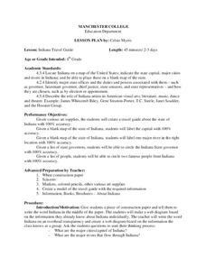
Indiana Travel Guide
Fourth graders, after exploring and researching the state of Indiana, create a travel guide about the state of Indiana including its capital, major rivers, governors and two famous people from the state. They utilize a variety of art...
Curated OER
Journey of Discovery and Rivers
Young scholars investigate the rivers encountered and mapped by the Corps of Discovery. They analyze maps, outline and label rivers on a blank map, complete a chart, and answer discussion questions while watching a National Geographic...
Curated OER
Jackie Steals Home
Students read articles relating to Jackie Robinson's breaking of the racial barrier in professional baseball. This leads to a deeper exploration of racism in the United States. They use a variety of worksheets imbedded in this plan to...
Curated OER
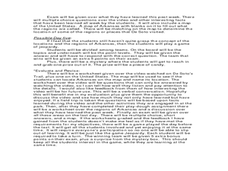
Arkansas History Lesson Plant One: Play-Do Soto
Fifth graders complete a variety of projects to learn about Arkansas history. In this Arkansas lesson plan, 5th graders go on a field trip to a state park, explore an Arkansas map, put play-dough on the trail of De Soto, color regions of...
Curated OER
Tactics in the Persian Gulf: From Diplomacy to Force
Students trace the United States' involvement in Iraq from 1991 to today. They interpret a map of Iraq, evaluate possible causes and effects of events. They participate in, collect and analyze a poll regarding the next steps the US...
Curated OER
Water: The Flow of Women's Work
Middle schoolers view photographs, read, and reflect on their own environments to gather information about gender roles in Lesotho and the United States. Students role-play gender role related scenarios and write about their reflections...
Curated OER
Tracing the Route of Bracero
Students make a map showing the work of a Bracero Worker. In this Bracero lesson plan, students listen to a worker in an online oral history as he explains his work locations and crops. They use a map to plot the areas he worked and the...
Curated OER
The Desert Alphabet Book
Learners explore world geography by researching a science book with their classmates. In this desert identification lesson, students utilize a U.S. map to locate the geographical locations of deserts. Learners create an oral report based...
Curated OER
Weather in Your City
Students observe weather conditions of a particular city. Multiple intelligences are explored within this lesson. They locate their particular city on a United States map. Each student writes about their discoveries in his/her journal...
Curated OER
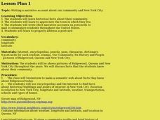
Our community and New York City
Fourth graders research websites to gather information about New York City and the Ridgewood community. For this New York City and Community lesson, 4th graders make a semantic map. Students write short postcards to send to students...
Other popular searches
- United States Maps
- United States Maps Regions
- Northeast United States Maps
- 50 United States Maps
- Create United States Maps
- Western United States Maps
- Custom United States Maps
- Outline Maps United States
- Blank United States Maps
- United States Landforms Maps
- United States Geography Maps
- United States Political Maps


