Curated OER
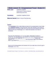
Congressional Travel
Students determine the distances traveled by the members of the legislative branch of the US Government. In this travel distance lesson, students locate Washington, DC on a globe using the longitude and latitude of the city. They...
Curated OER
Christopher Columbus
Help first graders gain an understanding of the beginnings of our nation by learning more about Christopher Columbus. They begin by listening to a read aloud of Christopher Columbus and His Voyage to the New World (another title could be...
Curated OER
THE GULF STREAM
Students explore how to describe the Gulf Stream, how Benjamin Franklin charted it, and correctly plot it on a map.
Prairie Public Broadcasting
Egyptian Pyramids Virtual Field Trip!
A virtual field trip takes enthusiastic travelers to the pyramids of Giza. Using Google, scholars explore the grounds of the ancient pyramids found in Egypt then complete three worksheets: a photo analysis page, a reflection sheet, and a...
Curated OER
Terrabagga Activity Using a Magnetometer
Clever! Earth science learners construct a model of a planet containing a magnetic core. The planet, Terrabagga, is made out of a paper grocery bag, magnets, a dead D battery, and rubber bands. Pictures of each step of the construction...
Curated OER
"Trails, Rails, and Roads" Lesson 2: Road Tripping
Young scholars practice map skills and take a virtual road trip through Maine examining the history of transportation. They create questions from the information they learned and play a game against other groups.
Curated OER
MAP UNIT
First graders investigate how maps are used to identify different locations. They will also appreciate how there are different types of maps for their purposes. Finally students study how maps contain symbols that represent real places.
Curated OER
Using the Four Main Directions in the Classroom
Students utilize a compass to determine where North is in the classroom. For this direction lesson, students label the four main directions. Students locate features in the classroom and describe the directions to get to them. Students...
Curated OER
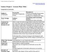
Longitude & Latitude
Seventh graders role play as ship's captains to study longitude and latitude.
Curated OER
Where in the World War? Mapping WWII in the Pacific
Students explore the Pacific Theatre of War. In this World War II lesson plan, students use reference material to access information about significant locations in the Pacific Theatre of War. Students identify the locations of the listed...
Curated OER
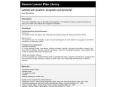
Latitude and Longitude: Geography and Geometry!
Second graders use latitude and longitude coordinates to pinpoint an exact location on the map. In this geography lesson, 2nd graders utilize handouts from the Maritime Museum in order to gain practice in finding locations throughout the...
Curated OER
Where is Flat Stanley?
Students create a story map of the basic elements and significant events of the book Flat Stanley. Students brainstorm places they would like to visit if they had been flattened and then, write about an imagined experience. Students...
Curated OER
Leapin' Landmarks: Locating 10 Man-made Landmarks Around the World
Third graders label continents, oceans, and major mountain ranges on maps and use the maps to write an informational report about landmarks. In this landmarks lesson plan, 3rd graders write about 1 major landmark.
Curated OER
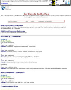
Our Class Is On the Map
Second graders review map keys, symbols, and the purpose of maps, then students design a poster size map of their classroom.
Curated OER
Tooling Around Arizona: Reading Arizona Maps
Students study geography. In this Arizona maps lesson, students develop their map reading skills. They have class discussions and work independently with various copies of Arizona maps to practice those skills. This lesson mentions...
Curated OER
The Global Grapefruit - Representing a 3-Dimensional Globe on a 2-Dimensional Map
Learners compare and contrast world maps and globes. They convert a 3-dimensional globe to a 2-dimensional map. They are introduced to the Mercator map projection. They observe map distortions of shape, area, distance, directions and angle.
Curated OER
Where Is Japan? What Direction Is It?
First graders locate countries on maps and globes and learn about the hemispheres and the cardinal directions. They listen to books read out loud and dicuss geography.
Curated OER
Studying the States!!!
Students explore the fifty states of America. They also learn the capitals and locations of the states. They also study the population, mottos, flags, and interesting historical facts about each state.
Curated OER
Mapping with a Compass: A Simulated Survey
Students use compasses and grids to map the locations of artifacts found in a simulated dig site. In groups, they role-play as future archeologists excavating a school site. Groups begin at their assigned datum and site the artifacts...
Curated OER
Lost at Sea: The Search for Longitude
Students research and chart the shortest course to circumnavigate the globe.
Curated OER
Latitude and Longitude
Fifth graders study latitude and longitude. They estimate the latitude and longitude of their hometown and find the latitude and longitude of other cities using a map. They use a website to find out the cities' actual latitude and...
Curated OER
New Perspectives
Students examine maps that are designed to give different perspectives. They create mental maps that illustrate their own perspectives and those of people from other parts of the world.
Curated OER
Making Sense Of A Round World On A Flat Surface
Students engage in a lesson that is concerned with the development of geography skills. They take part in a number of activities that center around finding and traveling to different locations. The lesson has resource links that can be...
Curated OER
The Archer and The Sun
First graders explore Chinese folktales. In this Chinese folktale lesson ,students read Chinese folktales, locate China on a map, and color the Chinese flag. Students are given sentence strips to hold and must arrange themselves in the...


