Curated OER
The Fault Line
Students use cardboard models of the North American and Pacific plates and sand to investigate what happens when there is an earthquake or movement along the boundaries of the plates.
Curated OER
Recent Volcanoes And Earthquakes:
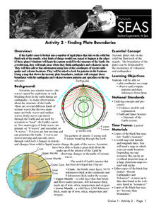
Students investigate the current model for the structure of the Earth. On a world map, they mark areas where they think earthquakes and volcanoes occur and compare those areas with earthquake and volcano location patterns.
Curated OER
Island Formation
Students create models of how islands are formed by hot spots and then write a summary of their observations and of how they think their model relates to volcanic hot spots and island formation.
Curated OER
Continental Drift
Learners simulate convection waves using a model. In this earth science lesson, students explain the effect of plate movements to Earth's geography. They use the internet to find answers to graphic organizer questions.
Curated OER
Faulty Movement
Students discover the faults throughout the Earth. They describe the different types of faults and how they are related to earthquakes. They build models of the faults.
Curated OER
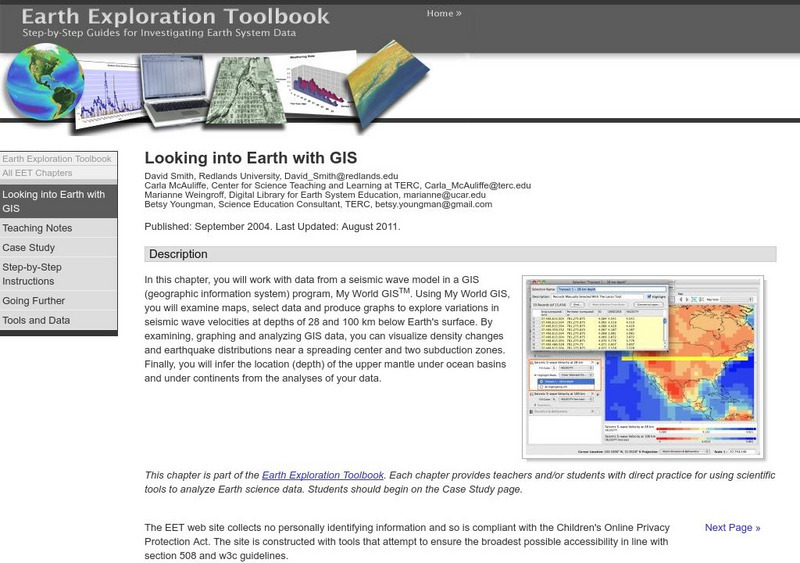
Looking into Earth with GIS
Students work with data from a seismic wave model in a freely available GIS (geographic information system) program, ArcVoyager SE. Using a GIS, they examine maps and produce graphs to explore variations in seismic wave velocities at...
Curated OER
Reading the Shapes of Volcanoes on Earth and Mars
Learners compare and contrast the volcanoes of Earth and Mars, and examine specific volcanoes on Mars. They model the processes that create cone and shield volcanoes, and measure the slope angles of cone and shield volcanoes.
Curated OER
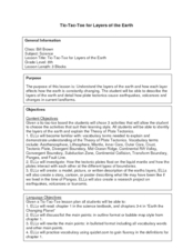
Tic-Tac-Toe for Layers of the Earth
Eighth graders identify the different layers of the earth. In this earth science instructional activity, 8th graders choose a project to do from a given list according to their learning style. They present their finished project in class.
Curated OER
Volcanoes: Fifth Grade Lesson Plans and Activities
Fifth graders explore volcanoes and the rocks they produce using the Internet. The lab portion of the lesson prompts young scientists to compare and describe igneous rocks. Next, they critique a pair or more of books on volcanoes in...
Curated OER
Volcanoes: Second Grade Lesson Plans and Activities
Young geologists explore volcanoes with a series of engaging geology activities. First, they learn the difference between magma and lava before coloring and labeling the parts of a volcano. During the lab, individuals watch a...
Curated OER
Earthquakes: Fifth Grade Lesson Plans and Activities
After learning about P waves and S waves, fifth graders view the intensity of earthquakes by examining seismographs and images of earthquake damage. Young scientists then forecasting future quakes by analyzing data about earthquakes...
Curated OER
Hazards: Fifth Grade Lesson Plans and Activities
After comparing earthquake and volcanic hazards to one another, fifth graders take a closer look at damage associated with a volcanic eruption. They then create a simulation of mudslides due to a volcanic eruption. Using different...
Science Matters
Wave Watching
Seismologists use the direction and arrival times of p waves and s waves to determine the distance to the source of an earthquake. The engaging instructional activity has students line up to form human waves. Through different movements...
Curated OER
Slinky Lab- Simulating the Motion of Earthquake Waves
Sixth graders simulate primary and secondary waves. In this earthquakes waves lesson plan, 6th graders experiment using a slinky to gain understanding of how waves are created during an earthquake. Students record observations in...
Curated OER
Feeling Hot, Hot, Hot!
Students study the different types of volcanoes and how they erupt. In this volcano lesson plan students identify where volcanoes are most prevalent and options for predicting eruptions.
American Geosciences Institute
American Geosciences Institute: Earth Science Week: A Model of Three Faults
In this lesson, students learn about the different kinds of faults and plate boundaries and where they can be found. They research and report on the faults that are present in their state. They are also asked to develop models of three...
Science Education Resource Center at Carleton College
Serc: Looking Into Earth With Gis
Multi-instructional activity activity where learners will work with data from a seismic wave model in a GIS (geographic information system) program. They will examine maps, select data, and produce graphs to explore variations in seismic...


