National Humanities Center
National Humanities Center: Toolbox Library: Slave Trade, American Beginnings: 1492 1690
A West African map and three accounts of the development of slave acquisition display the process and the brutality of the Atlantic slave trade.
National Humanities Center
National Humanities Center: Toolbox Library: Instructions, American Beginnings: 1492 1690
Three maps of European settlement in Virginia, the Pacific Northwest, and the Spanish New World, and the accompanying official instructions from lenders and monarchs about the obligations, opportunities, and hopes that those...
National Humanities Center
National Humanities Center: Toolbox Library: Pacific Coast, American Beginnings: 1492 1690
Primary resources for U.S. history and literature offer two excerpts from the explorations of the Pacific coast by Sir Francis Drake and Vitus Bering as well as maps drawn to reflect those journeys. Includes questions for discussion.
National Humanities Center
National Humanities Center: Toolbox Library: Rivalry I, American Beginnings: 1492 1690
Eleven documents and two maps detailing the almost two hundred year struggle between England and Spain for hegemony in the Caribbean.
National Humanities Center
National Humanities Center: Toolbox Library: Rivalry Ii, American Beginnings: 1492 1690
Two eighteenth-century maps and four accounts of the mutual perceptions, suspicions, and observations between Spanish and French explorers on the Gulf Coast.
PBS
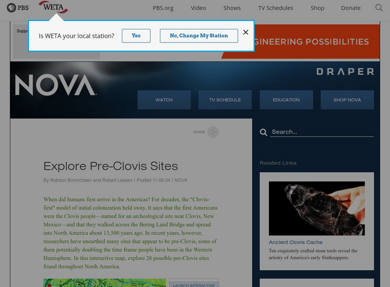
Nova: America's Stone Age Explorers: Before Clovis
A terrific map from NOVA showing pre-Clovis sites in North America. The key tells where the site is, what was found there, and when Paleoindians inhabited the site.
OpenStax
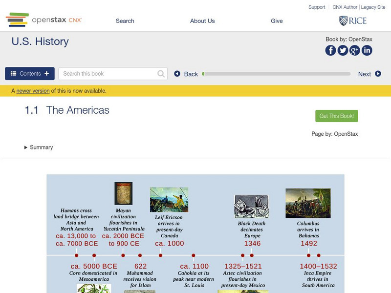
Open Stax: The Americas
After reading this section, students will be able to locate on a map the major American civilizations before the arrival of the Spanish, discuss the cultural achievements of these civilizations and also the differences and similarities...
A&E Television
History.com: The States
Learn unique facts about each American state. You can also read a more in-depth history of each state, watch videos and play a game about all the states.
Discovering Lewis & Clark
Discovering Lewis & Clark: David Thompson, Lewis, Clark, Jefferson
This web site is a group effort devoted to Lewis and Clark, the explorers. This section of the site describes David Thompson's role in their expeditions.
Other
Asia Society: Policy
A comprehensive storehouse of all types of information on Asia, both current and past: maps and statistics, Asian food, travel guides, photographs, articles, timelines, and more. Asia Source is the work of the Asia Society, a national...
E-learning for Kids
E Learning for Kids: Math: Native American Village: Sharing and Division
Let's go to Alaska and learn more about sharing.
University of North Carolina
Documenting the American South: North Carolina Emergency Relief Administration
An electronic edition of a very interesting, though dense, book written in 1936 as a record of the activies of the Emergency Relief Adminstration in North Carolina. The book begins with a look at how relief for the indigent was provided...
Sophia Learning
Sophia: Urban Models in the Real World
By using Google Earth and city road maps, learners will compare the layout of their city to one of the three North American urban models and see which one is the best fit.
Curated OER
Etc: Maps Etc: Distribution of Native Americans, 1500
A map from 1906 of North America central Canada to northern Mexico showing the distribution and territories of the Native Americans around 1500. The boundaries are based on linguistic stock and not tribal territories. "Anthropologists of...
Curated OER
Educational Technology Clearinghouse: Maps Etc: North America, 1782
A map of eastern North America at the end of the American Revolution, after numerous peace talks were held in Paris between the United States and Britain. This map shows the proposed new boundaries of the United States, English...
Curated OER
Etc: Maps Etc: The United States and Neighbors, 1898
A map from 1898 of North America, Central America, Greenland, and the Caribbean to Puerto Rico, subtitled "The United States and its Neighbors in North America." The map is color-coded to show the possessions of Greenland (to Denmark),...
Curated OER
Etc: Maps Etc: Physical Map of South America, 1898
A map from 1898 of South America showing the general physical features including mountain systems, prominent peaks and volcanoes, river and lake systems, plateaus, and coastal features. The map includes an insert of the Isthmus of...
Curated OER
Etc: Maps Etc: Mexico, Central America, and the West Indies, 1906
A map from 1906 of Mexico, Central America, and the West Indies showing the political boundaries at the time, capitals and major cities, mountain systems, coastal features, and islands of the region. An inset map shows the entire North...
Curated OER
Etc: Maps Etc: Commercial Map: United States, Canada, Mexico, 1904
North American commercial activities including: major agricultural crops (barley, corn, wheat, coffee, tobacco, et cetera) and secondary agricultural crops (oranges, lumber, wine); primary mining extraction (coal, gold, silver,...
Curated OER
Educational Technology Clearinghouse: Maps Etc: The Dominion of Canada, 1906
A map from 1906 of the Dominion of Canada showing the boundaries of the provinces and territories, provincial capitals and major cities, lakes, rivers, coastal features, and islands of the region. An inset map shows the entire North...
Curated OER
Educational Technology Clearinghouse: Maps Etc: United States, 1906
A map from 1906 of the continental or 'lower forty-eight’ United States showing state boundaries and state capitals, major cities and towns, mountain systems, lakes, rivers, and coastal features. Inset maps show the entire North American...
Other
Northwest Journal: Life of David Thompson
An overview of the life of David Thompson, arguably Canada's greatest explorer.
Curated OER
Perry Castaneda Map Collection: Map of Early Indian Tribes in the Western u.s.
Map showing the Native American culture areas and the tribes within those cultures in western North America. From the Perry Castaneda collection.


