Curated OER
Wikipedia: National Historic Landmarks in North Dakota: Big Hidatsa Village Site
Largest of 3 villages preserved in Knife River Indian Villages National Historic Site.
Curated OER
Wikipedia: National Historic Landmarks in North Dakota: Huff Archeological Site
Former fortified village of the Mandan, on the bank of Lake Oahe. Archaeological site, open to the public.
Other
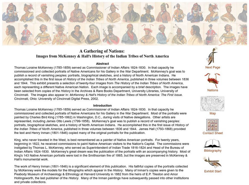
A Gathering of Nations: Images of History of the Indian Tribes of North America
A selection of twenty-four images from The History of the Indian Tribes of North America, each representing a different Native American Nation. Each image is accompanied by a brief description.
Other
International Peace Gardens: International Peace Gardens Canada United States
Peace between Canada and the USA is celebratedat the International Peace Gardens which borders North Dakota and Manitoba. Its history and photographs of the immaculate gardens and memorials are included.
Other
The Mammoth Site of Hot Springs, South Dakota
General site describes history and origin of the Mammoth. Includes links to paleontology, geology and archeology sites that are related to the study of the Mammoth.
DOGO Media
Dogo News: 6th Graders Smarter Investors Than College Students
Learn how a group of North Dakota sixth graders beat out a group of college students in a competition after learning the basics of investing.
Other
The Bismarck Tribune: Homepage
This is the online homepage for the Bismarck Tribune, the local newspaper for Bismarck, North Dakota.
Library of Congress
Loc: Local Legacies
Experience America through its grassroots! Diverse populations lend cultural colorfulness to our country. Read about an International Food Fair in California, Annie Oakley Days in Ohio, and Wabanaki Basketry in Maine. Click on your...
A&E Television
History.com: The States
Learn unique facts about each American state. You can also read a more in-depth history of each state, watch videos and play a game about all the states.
Kidport
Kidport: United States of America Geography
This site contains a fun way to learn about the states within the United States. Click on the state that you want to learn more about and it provides facts, geographic landmarks, points of interest, major industries, a quiz and more.
Other
Wiche: Western State College Tuition Agreements
The WICHE serves the 15 Western state region of the United States through assisting students in getting affordable access to educational programs of study.
Other
Mammoth Site Geology
This is the website for The Mammoth Site in Hot Springs, South Dakota. The Mammoth Site boasts the largest concentration of mammoths in the world. You can tour this indoor active dig site and view Ice Age fossils. The site offers a video...
CRW Flags
Flags of the World: Clickable Map of the United States
Includes both printable images and fascinating trivia behind the flag of each state. It includes alternate flags used in the past.
Countries and Their Cultures
Countries and Their Cultures: Teton
A page containing information about an Indian tribe known as the Teton who live in South Dakota. Investigate their family life, economy, religion, and history.
Curated OER
Etc: Territorial Development of the United States, 1783 1889
A map from 1889 of North America showing the expansion in the region of the United States from the original Thirteen Colonies at the end of the Revolutionary War in 1783 to the time the map was made, around 1889, before the territories...
Cayuse Canyon
The Us50
This clickable map of the United States gives students access to research information from history and tourism to attractions and famous historic figures.
Curated OER
Educational Technology Clearinghouse: Maps Etc: Lake Agassiz, 1911
A map of the Laurentide era glacial Lake Agassiz in the present day region of the northern United States and southern Saskatchewan, Manitoba, and Ontario. The lake was present during the last glacial period, and covers an area larger...
US Forest Service
Usda Forest Service: National Grasslands
This site contains facts about the U.S. grasslands, including history, laws, and regulations. To learn more about specific grasslands, select a grassland by region or by state.
Smithsonian Institution
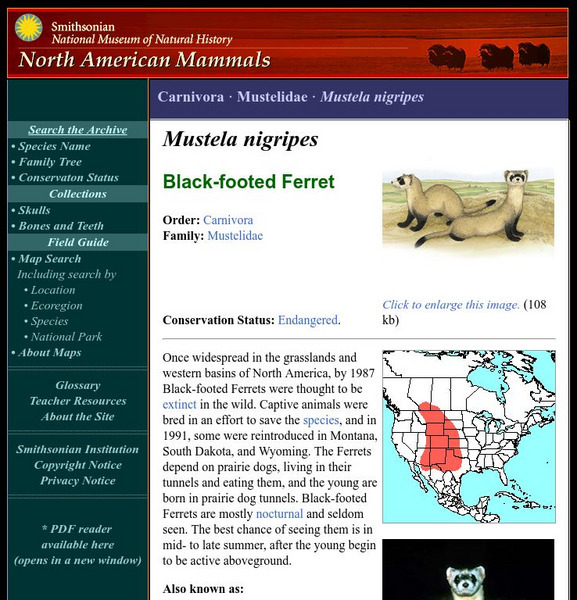
National Museum of Natural History: American Mammals: Black Footed Ferret
Once widespread in the grasslands and western basins of North America, by 1987 Black-footed Ferrets were thought to be extinct in the wild. Captive animals were bred in an effort to save the species, and in 1991, some were reintroduced...
Curated OER
Etc: Maps Etc: Comparative Areas of the United States and Other Countries, 1872
A map from 1872 of the United States used to illustrate the comparative area sizes of the states to other countries in the world. The map shows state and territory boundaries at the time (Dakota, Montana, Washington, Idaho, Wyoming,...
Curated OER
Educational Technology Clearinghouse: Maps Etc: Nebraska, 1903
A map from 1903 of Nebraska showing county borders, cities and towns, rivers, and railroads. This map also shows the rock types in the state. "Nebraska, a central State of the American Union, lies between 40 degrees and 43 degrees N....
Curated OER
Wikipedia: National Historic Landmarks in Minnesota: Pipestone National Monument
Pipestone National Monument preserves traditional catlinite quarries just north of Pipestone, Minnesota. The catlinite, or "pipestone", was and is used to make peace pipes, vitally important to traditional Plains Indian culture. The...
Other popular searches
- North Dakota Plants
- North Dakota History
- First People of North Dakota
- Ki Grier North Dakota
- North Dakota Studies
- North Dakota Heritage Center
- History of North Dakota
- North Dakota Social Studies
- North Dakota Unit
- North Dakota Statehood
- Ki Krier North Dakota
- North Dakota Map


