Curated OER
Discover the Planets
Third graders research the planets. In this science activity, 3rd graders create PowerPoint presentations over a planet. Students present their findings.
Curated OER
Putting Reading first: Keys to Comprehension
Second graders recognize what comprehension is and can explain the strategies they are using. In this reading comprehension lesson plan, 2nd graders self assess the strategies they are using to comprehend a text. Students answer...
Library of Congress
Loc: America's Story: North Dakota
What does "Dakota mean" in French? What tribe did Sacajawea belong to? The Library of Congress's America's Story has answers and more about the state of North Dakota.
Ducksters
Ducksters: United States Geography for Kids: North Dakota
Kids learn facts and geography about the state of North Dakota including symbols, flag, capital, bodies of water, industry, borders, population, fun facts, GDP, famous people, and major cities.
Other
North Dakota Department Fo Public Instruction: Content Standards
The state displays its learning standards for the areas of dance, drama, music, visual, English/language arts, health, math,physical education, sciences, and social studies.
Kidport
Kidport: United States of America Geography
This site contains a fun way to learn about the states within the United States. Click on the state that you want to learn more about and it provides facts, geographic landmarks, points of interest, major industries, a quiz and more.
Other
North Dakota Department of Health
This resource includes the state health officer, local public health units, environmental health, etc.
S.E. Schlosser
American Folklore: North Dakota Folklore
Read a brief folktale, myth, or legend from the state of North Dakota.
Other
International Peace Gardens: International Peace Gardens Canada United States
Peace between Canada and the USA is celebratedat the International Peace Gardens which borders North Dakota and Manitoba. Its history and photographs of the immaculate gardens and memorials are included.
CRW Flags
Flags of the World: Clickable Map of the United States
Includes both printable images and fascinating trivia behind the flag of each state. It includes alternate flags used in the past.
Other
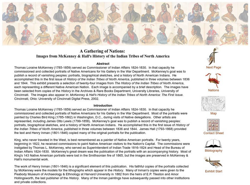
A Gathering of Nations: Images of History of the Indian Tribes of North America
A selection of twenty-four images from The History of the Indian Tribes of North America, each representing a different Native American Nation. Each image is accompanied by a brief description.
A&E Television
History.com: The States
Learn unique facts about each American state. You can also read a more in-depth history of each state, watch videos and play a game about all the states.
Other
Wiche: Western State College Tuition Agreements
The WICHE serves the 15 Western state region of the United States through assisting students in getting affordable access to educational programs of study.
Curated OER
Etc: Territorial Development of the United States, 1783 1889
A map from 1889 of North America showing the expansion in the region of the United States from the original Thirteen Colonies at the end of the Revolutionary War in 1783 to the time the map was made, around 1889, before the territories...
Curated OER
Etc: Maps Etc: Comparative Areas of the United States and Other Countries, 1872
A map from 1872 of the United States used to illustrate the comparative area sizes of the states to other countries in the world. The map shows state and territory boundaries at the time (Dakota, Montana, Washington, Idaho, Wyoming,...
Cayuse Canyon
The Us50
This clickable map of the United States gives students access to research information from history and tourism to attractions and famous historic figures.
Curated OER
Educational Technology Clearinghouse: Maps Etc: Lake Agassiz, 1911
A map of the Laurentide era glacial Lake Agassiz in the present day region of the northern United States and southern Saskatchewan, Manitoba, and Ontario. The lake was present during the last glacial period, and covers an area larger...


