Curated OER
Look for Patterns
For this earthquakes worksheet, students look at maps of earthquake patterns and answer short answer questions. Students answer 12 questions.
Curated OER
Distribution of Active Volcanoes Exercise
Students collect and plot data, then interpret the results and answer questions about the geologic causes and the human effects of volcanic eruption. They participate in a role-play activity and a virtual field trip, as well.
Curated OER
Recent Volcanoes And Earthquakes:
Students investigate the current model for the structure of the Earth. On a world map, they mark areas where they think earthquakes and volcanoes occur and compare those areas with earthquake and volcano location patterns.
Curated OER
Volcanoes
A thorough description of volcanoes appears in this Earth science worksheet. Students read facts about volcanoes and answer 20 multiple choice comprehension questions. The answers appear at the end of the worksheet.
Curated OER
Anatomy of an Earthquake
In this earthquake worksheet, students read and study earthquake maps and statistics. They complete 8 short answer questions that follow.
Curated OER
It's a Gas! Or is it?
Students discover the principles of solubility and phase state and their influence on chemical phenomena observed around deep-sea volcanoes. They describe the effect of temperature and pressure on solubility of gasses and solid materials.
Curated OER
The Big Balancing Act
Students describe chemical changes occurring in hydrothermal circulation systems. They make inferences about the significance of these systems to ocean chemical balance compared to terrestrial runoff.
Curated OER
Reading the Shapes of Volcanoes on Earth and Mars
Learners compare and contrast the volcanoes of Earth and Mars, and examine specific volcanoes on Mars. They model the processes that create cone and shield volcanoes, and measure the slope angles of cone and shield volcanoes.
Curated OER
Looking into Earth with GIS
Students work with data from a seismic wave model in a freely available GIS (geographic information system) program, ArcVoyager SE. Using a GIS, they examine maps and produce graphs to explore variations in seismic wave velocities at...
Curated OER
What's The Difference?
Students identify geologic features that are associated with volcanoes. In this volcanic exploration instructional activity students compare and contrast convergent and divergent volcanoes and are able to explain why some erupt more...
Curated OER
Island formation
Students explain what an island is, and distinguish islands from similar landforms. They compare and contrast the different ways in which islands are formed.
Curated OER
Earthquakes
Students observe the melting of ice. In this phase change lesson, students observe ice as it melts. They discuss the process and create a Venn diagram comparing water and ice.
Curated OER
Unexplored!
Students explore volcanoes. In this deep sea volcano activity students complete a worksheet and various activities.
Curated OER
How Volcanoes Grow
Learners study volcanoes including rock fragments, ash, aerosols and gases. In this volcano instructional activity students divide into groups and build models of the three major types of volcanoes.
Curated OER
Bank on it! Worksheet
In this sentence completion activity, students fill in the blanks to a paragraph about a tsunami with words in a word bank. Students fill in 20 words.
Curated OER
Recent Earthquakes and Volcanic Eruptions
Students study the recent earthquakes and volcanic eruptions. In this recent earthquakes activity students complete an activity while working in groups.
National Geographic
National Geographic: Plate Tectonics
A short tutorial on plate tectonics. Includes a video, background reading, three questions, fast facts, and a vocabulary list. Discusses the publication of the Tharp-Heezen map of the seafloor in 1977 which paved the way for a much...
Vision Learning
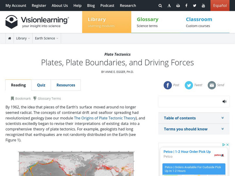
Visionlearning: Earth Science: Plate Tectonics Ii: Plate Boundaries and Forces
Instructional module focusing on plate tectonics. Discussion includes plates, plate boundaries, and driving forces. Site also includes an interactive practice quiz and links relating to the topic.
Georgia Department of Education
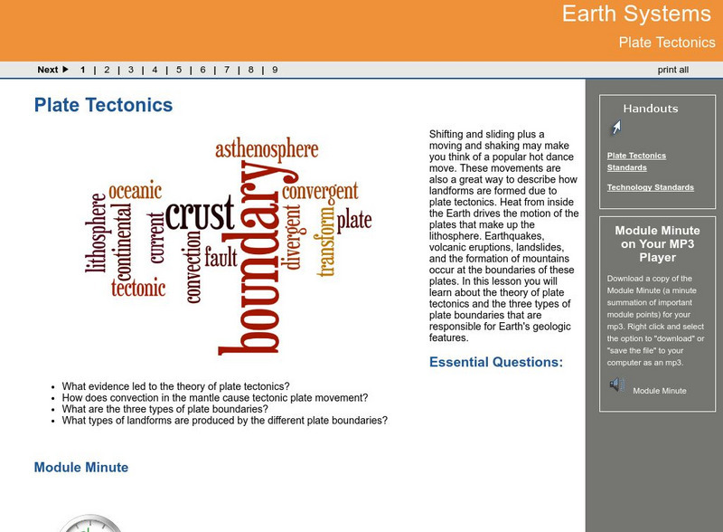
Ga Virtual Learning: Plate Tectonics
In this interactive lesson you will learn about the theory of plate tectonics and the three types of plate boundaries that are responsible for Earth's geologic features.
Other
Digital Library for Earth System Education: Teaching Box: Plate Tectonics
A suite of lessons focusing on finding the fossil evidence for lithospheric plate tectonics. Inquiry-based exploration of plate tectonics evidence includes fossil distribution, earthquakes, and volcanoes.
Annenberg Foundation
Annenberg Learner: Dynamic Earth Interactives: Plate Tectonics
The resource explores the Earth. There are tutorials on plate tectonics, plates and boundaries, and the Earth's structure. There is also an introduction and an interactive activity to test the students on skills taught.
PBS
A Science Odyssey: You Try It: Plate Tectonics
Using your computer mouse you can simulate transforming, collisional, divergent and convergent plate boundaries. Descriptions of each plate boundary are also available.
Science Struck
Science Struck: Theory of Plate Tectonics
A detailed discussion of plate tectonics. Looks at continental drift, types of tectonic plates and plate boundaries, and primary and secondary tectonic plates.
Sophia Learning
Sophia: Geology: Plate Tectonics
Listen to this podcast which explains the basics of plate tectonics on Earth. [0:39]


