PBS
Nova: Seismic Signals
Scientists have determined that the earthquakes preceding volcanic eruptions are different than those that precede earthquakes. Discover the sounds and wave patterns produced by the three different types of volcanic seismic activities.
Other
Geological Survey Program: Facts About the New Madrid Seismic Zone
It's surprising to find out that the New Madrid Seismic Zone is the most seismically active area in the United States. The facts go into the New Madrid fault very scientifically and are very detailed. Find maps and charts showing...
Incorporated Research Institutions for Seismology
Iris: Seismic Monitor
Poke around the world map to examine where there is earthquake activity.
Exploratorium
Exploratorium: Earthquake Faultline Earthquake Activities
This outstanding website provides an excellent variety of hands-on earthquake activities to help you understand what causes earthquakes.
California Institute of Technology
Scedc: Investigating Earthquakes Through Regional Seismicity
Learn about earthquakes and how they are measured. Follow up with some activities that help to enhance your learning.
Incorporated Research Institutions for Seismology
Iris: Incorporated Research Institutions for Seismology
This university consortium provides on-going, current information on seismic activity happening all over the world. Of special interest is the Seismic Monitor. Open this page to a full screen to monitor global earthquake activity in real...
TeachEngineering
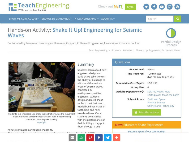
Teach Engineering: Shake It Up! Engineering for Seismic Waves
Students learn about how engineers design and build shake tables to test the ability of buildings to withstand the various types of seismic waves generated by earthquakes. Just like engineers, students design and build shake tables to...
Incorporated Research Institutions for Seismology
Iris: Seismic Tomography [Pdf]
Learn how seismic tomography imaging helps scientists understand the formation of the Earth's interior.
US Geological Survey
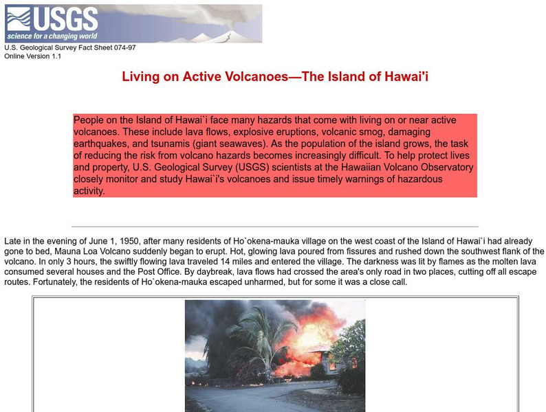
Living on Active Volcanoes on Hawaii
Living on the island of Hawaii brings you the hazard of living near a volcano. Read about actual eruptions and get scientific seismic information and maps.
American Geosciences Institute
American Geosciences Institute: Earth Science Week: Seismic Mapping
Young scholars become scientists, and learn about the usef of seismic technology to map patterns of rock formations below the surface of the Earth.
Science Buddies
Science Buddies: Liquefaction & Seismic Activity
Earthquake damage can be intensified in areas that are subject to soil liquefaction. For example, in these areas, soil movement may cause foundations to collapse, while structures in nearby areas built on more stable soil or bedrock may...
Other
Matter Project: Seismic Waves
Seismic waves are studied to better understand the ground beneath us, the layers of Earth and points of interest for earthquakes. Better understand the types of waves, what substances they may travel through and how, and gain a clearer...
Other
Digital Library for Earth System Education: Teaching Box: Earthquake Country
A suite of lessons focusing on all aspects of earthquakes. Inquiry-based exploration of earthquakes includes measuring seismic waves, predicting earthquakes, investigating magnitude and intensity, mapping fault lines, and evaluating...
Incorporated Research Institutions for Seismology
Iris: Earthquake Browser
A live, real-time data global map of all current earthquake activity.
Columbia University
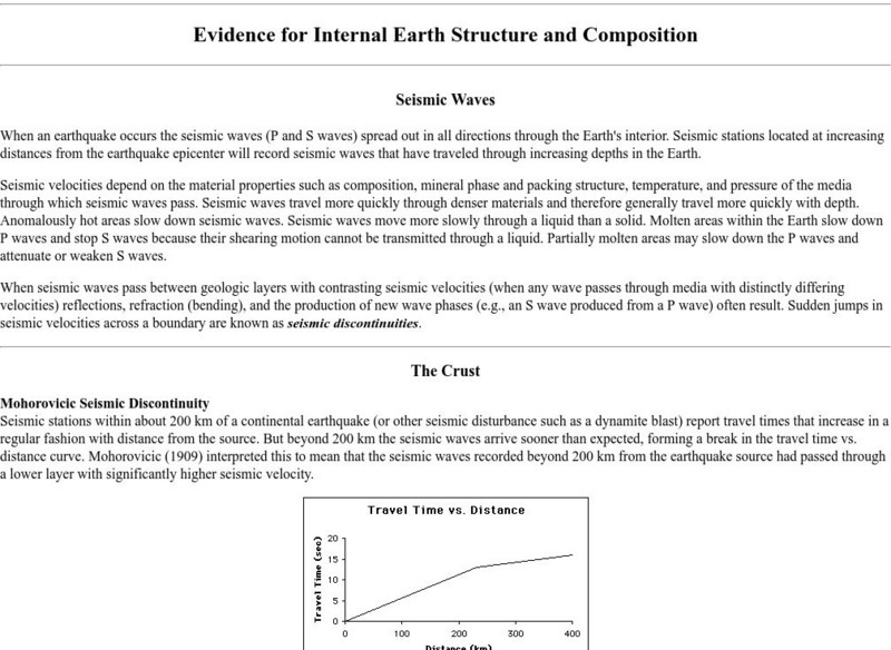
Columbia University: Evidence for Internal Earth Structure and Composition
College-level research information describes how the movement of Earth's interior causes seismic wave activity.
TeachEngineering
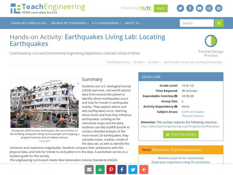
Teach Engineering: Earthquakes Living Lab: Locating Earthquakes
Students use U.S. Geological Survey real-time, real-world, seismic data from around the planet to identify where earthquakes occur and look for trends in earthquake activity.
American Geosciences Institute
American Geosciences Institute: Earth Science Week: Seismic Calendar
Students investigate how often earthquakes of various magnitudes happen within specific geographic regions.
Other
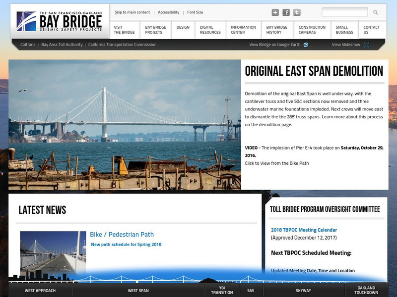
Bay Bridge 360: The San Francisco Oakland Bay Bridge
Interactive website, with videos, aerial views, photographs, and slideshows, documents the actions taken to replace and stabilize portions of the San Francisco-Oakland Bay Bridge against future seismic activity.
Exploratorium
Exploratorium: Loma Prieta, Bay Area, Earthquake 1989
This outstanding multimedia site documents the earthquake and related events that took place on October 17, 1989 in the San Francisco Bay Area.
Other
Federal Emergency Management Agency: Tremor Troop: Earthquakes [Pdf]
A 260-page unit of activities on earthquakes. Covers what they are, their cause, why and where they occur, their impact on the Earth, how they are measured, and safety and survival. Includes worksheets and has a glossary at the end.
American Geosciences Institute
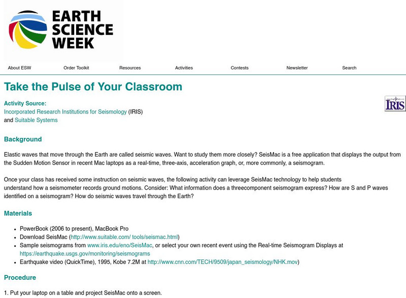
American Geosciences Institute: Earth Science Week: Take the Pulse of Your Classroom
In this activity, students leverage SeisMac technology to understand how a seismometer records ground motions.
Exploratorium
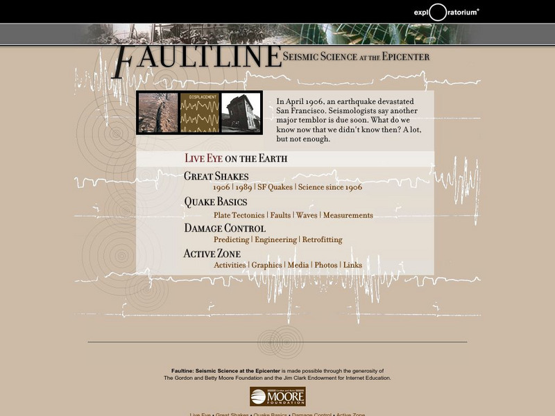
Exploratorium: Faultline
This site includes all things shaky--earthquakes that is. Observe real-time data regarding seismic activity all over the world. Other modules include information about history's great quakes, earthquake basics and how to recover from...
Stanford University
Stanford University: Solar Flare Leaves Sun Quaking
A report on the discovery that solar flares produce seismic activity. Site also includes movies, images, background information, and other media reports concerning solar flares.
Incorporated Research Institutions for Seismology
Iris: Watch Earthquakes as They Occur
This fact sheet provides an introduction to an interactive display of global seismicity that allows users to monitor earthquakes in near real-time, view records of ground motion, learn about earthquakes, and visit seismic stations around...


![Iris: Seismic Tomography [Pdf] Graphic Iris: Seismic Tomography [Pdf] Graphic](https://d15y2dacu3jp90.cloudfront.net/images/attachment_defaults/resource/large/FPO-knovation.png)
