Curated OER
The Battle of Honey Springs: The Civil War Comes to the Indian Territory (68)
Learn how the Civil War created fierce conflicts among American Indian nations who had been moved across the Mississippi River.
Curated OER
The Battle of Prairie Grove: Civilian Recollections of the Civil War (70)
Understand the violence of the Civil War through the eyes of young women whose homes were in the midst of an important battle and continuing conflict.
Curated OER
Illustration of the Destruction of a Rebel Salt Factory on the Florida Coast
Students view an illustration of the destruction of a salt factory. They analyze the photograph to learn more about the salt works. Students discuss what they have learned.
Curated OER
History 1 Word Search Puzzle
In this social studies worksheet, students look for the words in the puzzle that are related to the theme of the word search. Spelling skills are worked on.
Curated OER
Robert Gould Shaw
In this activity about Robert Shaw, 5th graders read a 4 paragraph passage, then complete 6 related activities. Link to additional activities is included.
Curated OER
Good Brother, Bad Brother
Studetns study how biographers create characters and history of individuals in biographies. They complete a variety of writting activities to demonstrate understanding.
Curated OER
Developing a Gateway to the West
Young scholars identify various topographical features that contribute to the growth of a city. They identify how military strategies contribute to the growth of a city.
Other
Map of the Union and Confederate States
Two maps showing the Union and Confederate states at the beginning of the Civil War.
Siteseen
Siteseen: Civil Conflict: Confederate States of America
Outline of the beginning of the Civil War in which the Southern states began seceding from the Union and forming a Confederacy.
Yale University
The Avalon Project: Declaration of the State of Texas to Secede From the Union
Text of the causes which impel the State of Texas to secede from the Federal Union.
Curated OER
Etc: Maps Etc: United States and Confederate States, 1861
A map of the United States and Confederate States in 1861. The map is color-coded to show Free Union States, Slave Union States, Confederate States seceding before April 15, 1861, Confederate States seceding after April 15, 1861,...
CommonLit
Common Lit: "A Nation Divided: North vs. South" by Us history.org
The American Civil War was fought within the United States from 1861 to 1865. The election of President Abraham Lincoln in 1860 increased tension between the North and South. Lincoln's political party was interested in stopping the...
Annenberg Foundation
Annenberg Learner: America's History in the Making: Reconstruction
This wonderful unit from Annenberg Media examines Reconstruction through three themes: reintegrating the former Confederate states in to the Union; the freedom of blacks and what that entailed socially and economically; and the economic...
Other
American Revolution: Those Glorious "Principles of 1776": Confederate Perspective
This site explains the Southern perspective on the voluntary union of states and the justification for the South seceding from the Union.
Independence Hall Association
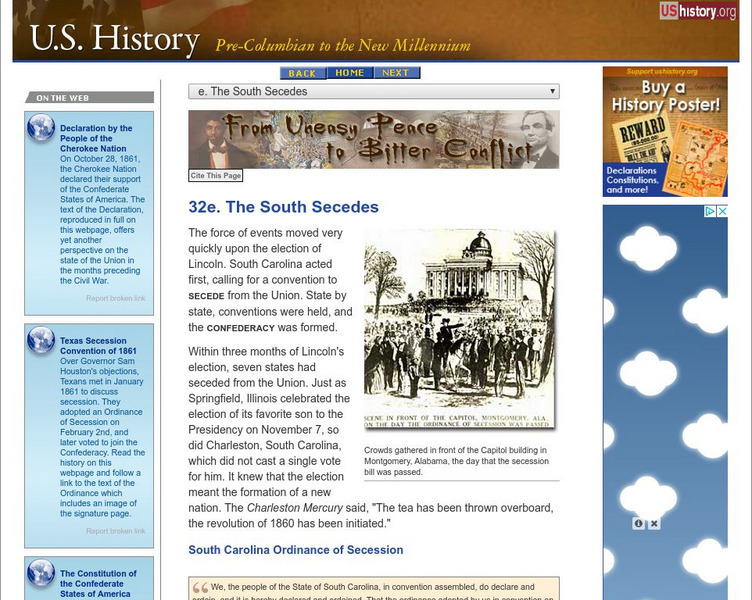
U.s. History: The South Secedes
South Carolina was the first to secede upon the election of Abraham Lincoln in 1860. Read about the secession of more states, the election of a president of the new Confederate States of America, and a last ditch effort to save the union.
Other
Museum of Florida History: Florida in the Civil War
A great site which covers a multitude of topics concerning Florida's role in the Confederacy in the Civil War. Some interesting topics are the everyday life of women, Union operations in Florida, and the coastal defenses.
Digital History
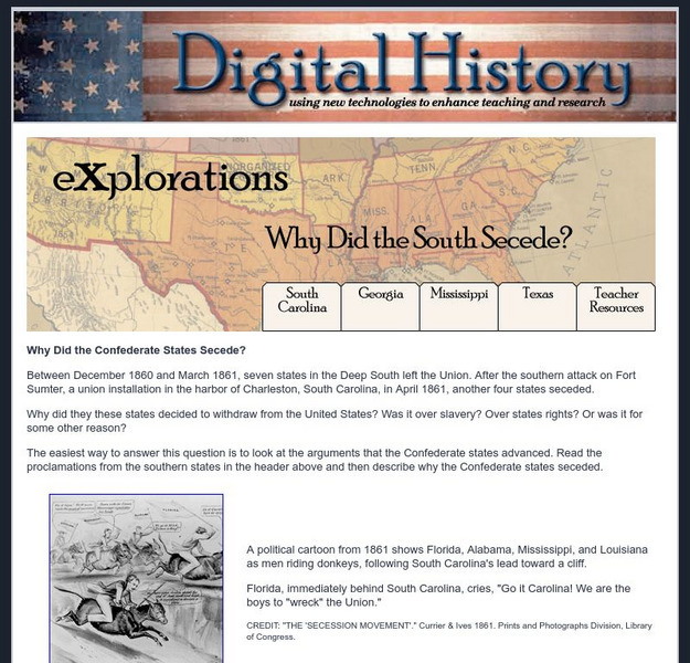
Digital History: Explorations: Why Did the South Secede?
Resource explores the states that withdrew from the Union at the beginning of the Civil War and why.
Library of Congress
Loc: Today in History: May 10: Jefferson Davis & "Wedding of the Rails"
Library of Congress presents primary source documents, essays, photos and maps of historical events on May 10th including a ceremony at Promontory Point, Utah for the meeting of the Union Pacific and Central railways and the capture of...
Ducksters
Ducksters: Civil War for Kids: The Confederation of the United States
Study the Confederation of the United States, or Confederacy, during the Civil War on this website. Learn about the Confederate leaders and generals.
Curated OER
Etc: Maps Etc: United States at the Outbreak of the Civil War, 1861
A map of the United States and territories in 1861 at the outbreak of the Civil War. The map is color-coded to show the Union Free States, the Confederate States seceded before April 15, 1861, the Confederate States seceded after April...
Curated OER
Etc: The United States Secession, 1860 1861
A map showing the secession of the Confederate States from the Union, from the secession of South Carolina (December 20, 1860) to the secession of Tennessee (June 8, 1861). The map is color-coded to show the Federal States and territory...
Curated OER
Educational Technology Clearinghouse: Maps Etc: The United States, 1861
A map of the United States in 1861 after the secession of the Southern States. The map is color-coded to show the Free Union States, Union Slaveholding States, Confederate States, and the territories of Washington, Dakota, Nevada, Utah,...
Curated OER
Etc: Maps Etc: Reconstructed United States, 1870
A map of the United States and territories after the Civil War during reconstruction and readmission by 1870. The map is color-coded to show the 'Normal States’ (Union States), the 'Reconstructed States&’ (Confederate States), the...
Curated OER
Etc: United States During the Civil War, 1861 1865
A map of the United Stated during the American Civil War (1861-1865) showing State and territory boundaries, with dates of statehood for the territories from 1796 to 1861. The map is color-coded to show the Union States, Confederate...


