Curated OER
Geological Development of Indiana and the Movement of Peoples Across the State
Fourth graders examine the geological development of the state of Indiana. Using the internet, they interact with the United States Geological Survey. They identify earthquake zones and energy resources in the state. They work...
Curated OER
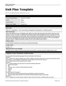
Unit Plan Template
Use this U.S. History unit plan as a template for creating your own! Simply download the resource and edit the text fields with your own customized unit plan. This is a great jumping-off step, especially for newer teachers.
Curated OER
Organizaton of American States Project
High schoolers discover the Organization of American States by researching currents issues in those countries. They create a PowerPoint presentation and share with the class.
Curated OER
Geography Words
This learning exercise uses maps of South America and Canada to combine basic geography vocabulary and using prepositions. Students use the maps to answer questions about the locations of various countries on the two maps. This would be...
Curated OER
Geography Journey
In this geography worksheet, students use a map of Amtrak train routes (not included) to answer 10 short answer questions. Students describe physical features and landmark cities they would see if traveling by train across the country.
Curated OER
Exploring Alternative Energy Sources
Students research the amount and kinds of energy that are produced and consumed in the United States, including the limitations of this kind of consumption. They research and create a display to teach classmates about a specific...
Curated OER
Colonial Vacation Planner
Looking for a good lesson on the Colonial Period for your upper-elementary class? Then, this lesson is for you! They use website designs, U.S. travel publications, and maps to plan a family vacation to states which were part of the...
Curated OER
Tissue Paper Geography
Students explore geographic features of the desert and apply their understanding of the topography of the desert by creating a tissue paper painting.
Curated OER
Walking for Water Mini-Unit
Pupils participate in an activity that requires them to consider the availability of water. In this "walking for water" lesson, students read "Women Bear the Weight of Water," and respond to discuss questions regarding the article....
Curated OER
Globe Skills Lesson 11The Vietnam War
Students develop their globe and map skills, In this geography lesson, students examine the Vietnam War as they complete an activity that requires them to plot latitude and longitude.
Curated OER
Globe Skills Lesson 1 Some Early American Cultures
Young scholars apply their knowledge of geography. In this geography skills lesson, students read brief selections regarding early Americans. Young scholars respond to the questions included in the self-guided map skills lesson.
Curated OER
The Fabric of Our World
Middle schoolers discuss cultural diversity, and examine how the community reflects the cultural background of the inhabitants. They read the book, People, take a community walk, create a rainbow chart, and research other states for...
Curated OER
Traveling Through Literature
Integrate geography with literature in this interdisciplinary lesson plan. Begin by reading a poem such as The Time We Climbed Snake Mountain by Leslie Marmon Silko. On a large map, place push pins in the cities or states mentioned. An...
Curated OER
Where In the World Are You?
Fourth graders fill in blank copies of the United States Map and then the World Map.
Curated OER
America the Beautiful
Students analyze the physical geography of the United States and how we have adapted to or altered the land to create the country we know today. Students complete maps with physical features, states and cities of interest.
Curated OER
On Being Hindu....and American
Seventh graders explore the religion of Hinduism. In this Religion lesson, 7th graders illustrate how people from one country adapt to a new country. Students predict the future status of Hinduism in the United States.
Curated OER
Learning About the Globe
Pupils examine the following terms to increase their geography skills: globe, equator, prime median, Western Hemisphere, Eastern Hemisphere, Northern Hemisphere, Southern Hemisphere, Pacific Ocean, Atlantic Ocean, and The United States.
Curated OER
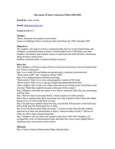
Movement of Native American Tribes 1830-1890
Students examine the movement of Native American tribes during the mid 1800's. In this American History lesson, students study two Native American tribes that live in the United States and complete a comparison/analyze project. Students...
Curated OER
Apple Logic and Problem Solving
Students examine apple production in the United States. In this interdisciplinary lesson, students use problem solving strategies introduced to solve math problems associated with apple production in the United States. Student collect...
Curated OER
Where Does It Come From?
Fifth graders explore free trade. In this free trade lesson plan, 5th graders discover which commonly found products are made in the United States and which originate from other countries. Students explore which countries are better at...
Curated OER
Wetlands: Pave or Save?
Students discuss the characteristics of wetlands and how to make them more productive. Using a map, they locate the major wetlands in the United States and color them using a key. They read an article and in groups answer discussion...
Curated OER
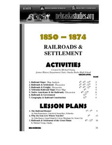
The Railroads and Settlement of the Great Plains
Enhance your American literature unit with this resource, in which readers access the Nebraska Studies website and read about "Railroads and Settlement." They search for a photograph of some aspect of the railroad from the Prairie...
Curated OER
Coming to America
Fifth graders listen to the song America by Neil Diamond, view pictures of Ellis Island, and role play as processing officers who evaluate, classify and recommend which immigrants can stay in America.
Curated OER
Comparative Geography I
Students use population density and other statistics to compare countries. They find the population density for the countries listed in the table. Students compare findings with a partner, and then share with the class.


