Curated OER
Etc: Maps Etc: Forest Regions of the United States, 1911
A map from 1911 of the United States (from the U.
Curated OER
Etc: Maps Etc: Relief of the United States, 1904
A relief map from 1904 of the United States showing the mountain systems and highlands, plateaus, plains, lakes, rivers, and coastal features. This map divides the area into the main groups of the St. Lawrence Basin, Allegheny Region,...
Curated OER
Etc: Maps Etc: Coal Mining Regions of the United States, 1904
Coal mining regions of the United States.
Curated OER
Etc: Maps Etc: Coal Mining Regions of the United States, 1906
Coal producing regions of the United States.
Curated OER
Etc: Maps Etc: Coal and Iron Deposits in the United States, 1910
A map from 1910 of the contiguous United States showing the regions of iron coal deposits. The map is keyed to show deposits of iron ore, lignite coal, bituminous coal, and anthracite coal in the region.
Curated OER
Etc: Maps Etc: Forest Areas of the United States, 1901
A map from 1901 of the United States showing the principal forest regions. The map is color-coded to show heavily forested areas and areas where forests occur in more or less open areas.
Curated OER
Etc: Maps Etc: Commercial Map of the United States, 1872
A commercial map from 1872 of the United States showing the principal railroad and steamship routes in the region at the time. The map shows state boundaries and capitals, major cities and ports, submarine telegraph cables to Europe,...
Curated OER
Educational Technology Clearinghouse: Maps Etc: United States, 1906
A map from 1906 of the continental or 'lower forty-eight’ United States showing state boundaries and state capitals, major cities and towns, mountain systems, lakes, rivers, and coastal features. Inset maps show the entire North American...
Curated OER
Etc: Territorial Development of the United States, 1783 1889
A map from 1889 of North America showing the expansion in the region of the United States from the original Thirteen Colonies at the end of the Revolutionary War in 1783 to the time the map was made, around 1889, before the territories...
Curated OER
Etc: Maps Etc: Forest Map of the United States, 1910
A map from 1910 of the United States showing the forest regions of the Pacific, Rocky Mountains, Northern Forest in the Great Lakes and New England areas, Southern Forest along the Gulf and East Coast, and the Hardwood Forest. The map...
Curated OER
Etc: Maps Etc: United States and Neighboring Lands, 1920
A map from 1920 of southern Canada, the United States, and northern Mexico showing terrain features, lakes and river systems, and general vegetation types of the region. The map is keyed to show the submerged portion of the continental...
Curated OER
Etc: Maps Etc: United States Industrial Sections, 1901
A map from 1901 of the United States showing the product regions by separating the country into "(1) the Northeastern, or cloth-manufacturing section; (2) the Northern, or food-, iron-, and coal-producing, and manufacturing section; (4)...
Curated OER
Etc: Maps Etc: The United States Coal Fields, 1897
A map from 1897 of the United States showing the region of coal deposits and coal production.
New York Times
New York Times: International
[Free Registration/Login Required] The New York Times is an internationally recognized daily newspaper published in New York City, New York. Content of the international section includes top news and issues from around the world, special...
ClassFlow
Class Flow: North American Regions
[Free Registration/Login Required] This flipchart contains a labeling activity and Activote questions pertaining to the North American regions.
Other
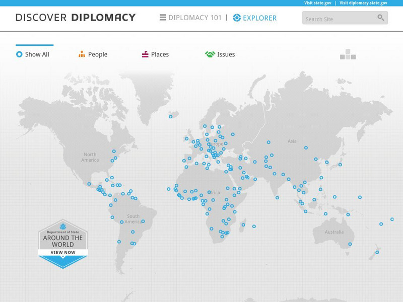
Discover Diplomacy: Around the World
The following map is a visual representation of the presence of the United States around the world. This interactive map shows our diplomats and their roles in their respective countries, places in the world where we practice diplomacy,...
Cengage Learning
Investigating Social Change: Midwest
Explore the evolution of the Midwest region of the United States. Students and teachers will gain a different perspective about the Midwest when they check out this site.
Curated OER
Educational Technology Clearinghouse: Maps Etc: United States, 1917
A map of the United States and territories showing the expansion from the formation of the original states to the purchase of the Danish West Indies (Virgin Islands) in 1917. The map is color-coded to show the original states, the states...
Curated OER
Etc: Maps Etc: Gold and Silver Mining Regions of the United States, 1904
Gold and silver mining regions of the United States.
Curated OER
Etc: Maps Etc: Gold and Silver Mining Regions of the United States, 1906
Gold and silver mining regions of the United States.
Curated OER
Etc: Maps Etc: Natural Regions of the United States, 1906
A relief map from 1906 of the United States showing terrain features of mountain systems and highlands, basins, plains, prairies, lakes, rivers, and coastal features.
Curated OER
Etc: Theatre of War in the United States, 1861 1865
A map showing the extent of the Confederate territories east of the Mississippi River during the American Civil War (1861-1865). The map shows state lines and capitals, major cities, forts, battle sites, and rivers in the region. The map...
National Weather Service
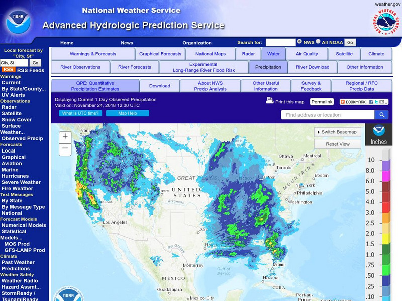
National Weather Service:climate Prediction Center: Daily Precipitation Analysis
Find real-time daily precipitation analysis for the United States, Mexico, and South America as well as accumulated precipitation maps for the past 30 or 90 days.


