Curated OER
Fertile Crescent Map Project
Sixth graders develop a multimedia presentation of the Fertile Crescent that compares modern day geography, economics, government, and transportation resources. They work in groups to research their specific topic.
Curated OER
Extreme Elevations
In this geography worksheet, 5th graders work in groups in order to locate and graph mountains found on all the continents of planet earth.
Curated OER
Cities of the World
Students identify the symbol for cities on a political map. In this world map lesson, students identify specific cities on the World Political Map. Students should identify the country in which the city is located. Students discuss the...
Curated OER
There's a Watershed in my Backyard!
Students explain what the term watershed is by creating a model. In this science, geography lesson, students demonstrate how the water moves in a watershed. Additionally, students learn about point source and nonpoint source pollution....
Curated OER
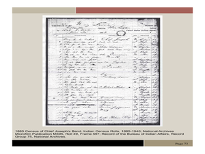
Chief Joseph and the Nez Perce
Eleventh graders explore the life of Chief Joseph and Nez Perce. In this US History lesson, 11th graders analyze paintings and photos detailing the flight of Nez Perce. Students create a narrative newspaper article based on their...
Curated OER
"Go West, Young Man!"
Students examine reasons why people migrated west. They describe how the geography of the U.S. changed in the 19 th century and design a PowerPoint presentation to convey factors for westward expansion.
Curated OER
The Oceans Below
Young scholars investigate the geological characteristics of the ocean environment and create a labeled drawing of the ocean floor's geography. Students view videos and conduct Internet research about the ocean's floor and then create...
Curated OER
People in the World-Brazil
Second graders explore information about South America and choose a country to study. They explore culture, food, geography, clothing, language, and recreation of their country. Students visualize their learning by developing a slide...
Curated OER
Regions, Regions, Regions!
Pupils use regions to analyze the locational patterns of culture
groups at various scales. They discern the basics of region identity by discovering his/her "Home" Region through the examination of
criteria in his/her "backyard." In...
Curated OER
Regions of the United States
Learners explore the regions of the United States. In this geography lesson, students read the text When I Was Young in the Mountains and compare the setting of the story with their geographical setting. Learners use a physical map to...
Curated OER
Water Features - Lesson 2 - U.S. Political Map Grade 4-5
Students locate water features on maps. In this geography lesson plan, students complete worksheets that require them to identify water features on a U. S. political map.
Curated OER
United States Map- State Capitals
Students explore the state capitals. In this geography lesson, students use a political map to identify the state capitals and place post-it notes on various capitals.
Curated OER
Walking for Water Mini-Unit
Pupils participate in an activity that requires them to consider the availability of water. In this "walking for water" lesson, students read "Women Bear the Weight of Water," and respond to discuss questions regarding the article....
Curated OER
Canada Or Bust
Seventh graders answer the following problem based lesson with the essential question, "Which city or town in Canada would adequately meet my family's needs for relocation?" They present their city and provide rationale for its...
Curated OER
Great Monuments of the World
Students explore the wonders of the world through inquiry. In this world monuments lesson, students investigate famous landmarks around the world as they conduct and apply research. Students create products that feature their findings...
Curated OER
Pickles to Pittsburgh
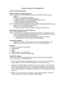
Third graders explore the geography in the book "Pickles to Pittsburgh" by Judy Barrett. They read the story and identify the physical features of the town, discuss the elements included on a map, and create a map of the town of...
Curated OER
Explorer Comprehension Worksheet
In this exploration worksheet, students draw the routes of the listed explorers on the blank world map. Students should also provide a color-coded map key.
Curated OER
United States Map Lesson
Students explore basic map skills. For this United States geography lesson, students define "country" and "state," locate their state on a United States map, and identify and trace state boundaries defining their state and surrounding...
Curated OER
United States Map - Lesson 9
Students explore the concept of cardinal directions. In this geography lesson plan, students identify the compass rose on a large U. S. map and then discuss the cardinal directions.
Curated OER
United States Map - Lesson 11
Students explore lakes of the United States. In this geography lesson, students identify noteworthy lakes on a map of the United States.
Curated OER
Winter Holidays Around the World
How much do you know about the holidays around the world? Second graders put their knowledge to the test with a 14-day activity about global celebrations. They read informational text, employ KWL charts, and compare and contrast the many...
Curated OER
Geography: I Spy Environments
Fourth graders examine nature paintings from a Utah museum for their physical characteristics. In small groups, they observe museum postcards and discuss the season, precipitation, temperature, and geometric shapes pictured. Focusing...
Curated OER
Satellite Images- Night Time
Fourth graders study the geography and population distribution of various places on earth. They utilize actual satellite images of the night sky (lights showing heavily around area of dense population) to study and make observations...
Curated OER
My How Things Have Changed
Eighth graders discuss the impact geography had on hunter-gatherer societies, their toolmaking. They work in groups to create a Web page that links pictures of artifacts to explanations about what the artifact tell us about the lives of...


