Discovery Education
Discovery Education: Weather Maps
This site provides a lesson plan in which groups of students will each investigate a different type of weather map use for weather forecasting. Also includes discussion questions, extension ideas, and links to additional sites for more...
National Weather Service
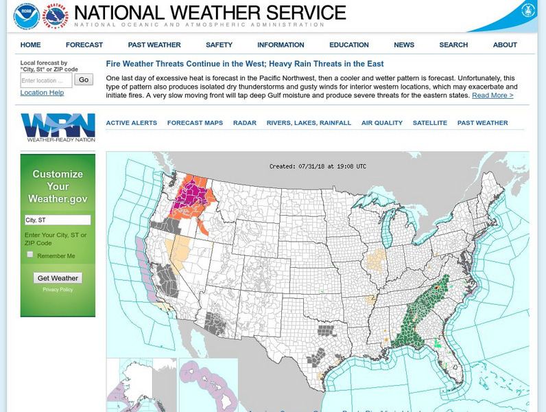
National Weather Service
Official United States Weather Bureau source for weather maps and forecasts. Contains forecasts, maps, warnings, data, current conditions, and storm warnings.
NASA
Nasa Earth Observatory: Global Maps: Land Surface Temperature
View a global map from NASA's Earth Observatory that shows land surface temperature from February 2000 to November 2008. Learn how land surface temperature is measured and monitored.
National Weather Service
National Weather Service: Precipitation Analysis
This interactive map of the US is color coded to show the quantity of rain received throughout the country. Selections can be made to focus on certain areas and certain time frames.
Other
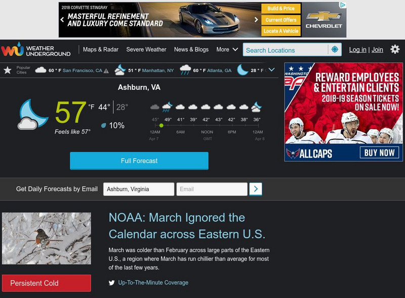
Weather Underground: The Authority in Expert Weather
Weather maps, forecasts, radar, NEXRAD, satellite images, and lifestyle weather reports for the United States and world. Includes Dr. Dewpoint and Weather 101 sections for educational use.
American Geosciences Institute
American Geosciences Institute: Climate and Weather
Eight hands-on lessons module in which students explore climate and weather. Inquiry-based investigations include observing weather, weather reporting, weather maps, weather satellites, causes of weather, and climate change.
CK-12 Foundation
Ck 12: Earth Science: Weather Maps Study Guide
[Free Registration/Login may be required to access all resource tools.] This study guide summarizes the key points of weather maps. Includes a few questions to check for understanding.
NOAA
Noaa: National Weather Service: Weather Prediction Center
Ongoing information updates on weather conditions and forecasts in the United States, displayed on animated maps.
University of Wisconsin
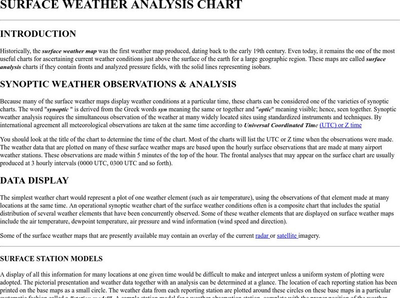
Atmospheric and Oceanic Sciences: Surface Weather Analysis
Explains the use of synoptic weather analysis in preparing weather maps and forecasting. Discusses the use of symbols as well.
Other
The Weather Company: The Weather Underground
Source of weather maps, forecasts, images, and data for the world. Maps include temperature, radar, visibility, wind, heat index, wind chill, humidity, and dew point.
Other
Radley College Geography Department: Latest Weather
Many weather maps including world satellite images, jet streams, tropical storm trackers, temperatures and many more.
Other
Honolulu Hi 5: Cool Maps With Awesome Weather Data Across 1,219 Us Cities
Explore the weather in states and cities across the United States. Two maps with accompanying graphs are provided. The first indicates the number of comfortably warm summer days a place has and the second shows the temperature and how...
TeachEngineering
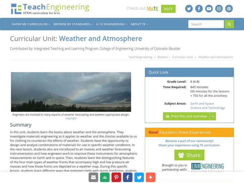
Teach Engineering: Weather and Atmosphere
In this unit, students learn the basics about weather and the atmosphere. They investigate materials engineering as it applies to weather and the choices available to us for clothing to counteract the effects of weather. Students have...
BBC
Bbc: Weather: Search
Find information about current weather conditions anywhere in the world by entering the city and country. The site breaks down the information into specific areas and regions, which makes it convenient to search through.
Science Struck
Science Struck: A List of All Weather Symbols and Their Meanings
Provides a comprehensive list of weather symbols used on weather maps.
CK-12 Foundation
Ck 12: Third Grade Science: Earth Science: Weather Forecasting
[Free Registration/Login may be required to access all resource tools.] Read about how meteorologists predict the weather and how technology and computers are used to forecast the weather. Also discusses what weather maps show us.
Other
American Meteorological Society: Data Streme Atmosphere
This site provides an extensive amount of weather information. Includes current information, forecasting, and historic weather related events. Weather map symbols and terminology explained.
Other
California Regional Weather Server: Jet Stream Analyses and Forecasts
California Regional Weather Service provides the latest jet stream analyses and forecasts for the Northern Hemisphere, Eastern Pacific & Western North America, North America, North Atlantic, and the Southern Hemisphere.
Science Buddies
Science Buddies: Using Weather Balloon Data to Map Atmospheric Temperature
Snow-capped mountains make a picturesque scene, especially in summertime when the peaks are in such contrast to the warmth below. This project shows you a way to see how temperature changes with altitude using data collected twice daily...
E-learning for Kids
E Learning for Kids: Science: Christmas Island: How Do We Describe the Weather?
Join Tim on Christmas Island to understand how to gauge weather conditions. Learn all about tracking weather, finding clothing suitable for various weather conditions, which animal likes a certain type of weather, and activities for...
E-learning for Kids
E Learning for Kids: Science: South Africa: What Is the Weather Like Today?
Join Tim and Johnny on their voyage to South Africa, but before they get there they need to make sure they understand the weather conditions. This interactive module helps you describe the weather, learn about basic forecasting and how...
Other
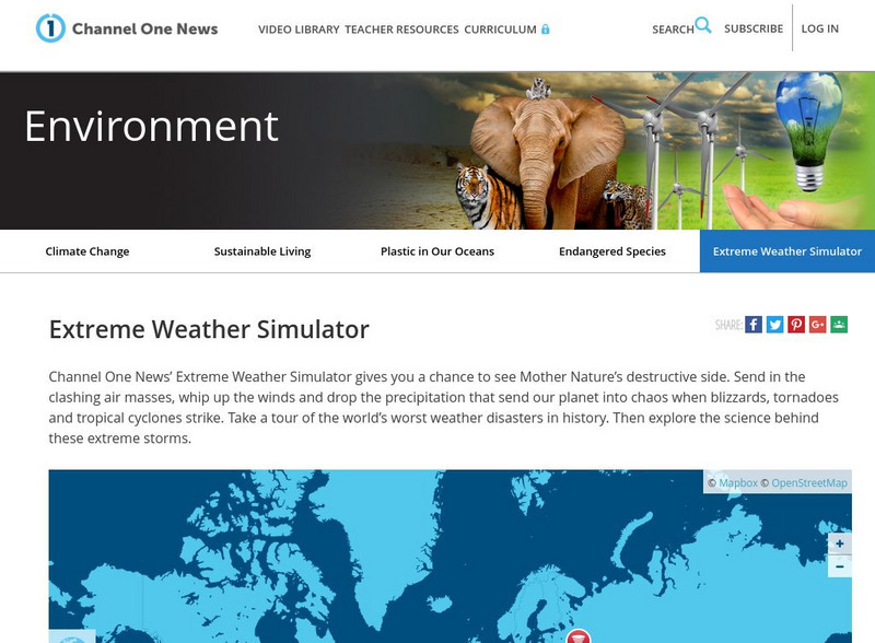
Channel One: Environment: Extreme Weather Simulator
An interactive to help understand and appreciate the strength of severe weather storms.
University of Texas at Austin
University of Texas: Hurricane Rita Maps
Web page with a large quantity of links to information on Hurricane Rita including maps, aerial images, satellite images, data, and much more.
ClassFlow
Class Flow: Weather Maps
[Free Registration/Login Required] This flipchart defines and gives examples of various weather symbols and descriptive words concerning weather patterns. It explains the uses of weather maps and how scientists use these to predict the...
Other popular searches
- Reading Weather Maps
- Interpreting Weather Maps
- Interpret Weather Maps
- Surface Weather Maps
- Creating Weather Maps
- Weather Maps With Fronts
- Pressure and Weather Maps
- Analyzing Weather Maps
- Construct Weather Maps
- Winds and Weather Maps
- Interactive Weather Maps
- Just Interpret Weather Maps


