Curated OER
Bringing the Past to the Present
Second graders work in pairs and read a primary source artifact. They create a PowerPoint slide that will be part of a "museum" presentation for the rest of their class. Students select artifacts from a group of digitalized artifacts...
Curated OER
Fort at No. 4 History
Learners examine the history of Fort No. 4 in New Hampshire before visiting the site. They identify key events and people that occured at the fort as well. They complete questions and teach them to their group.
Curated OER
Oregon City: A Convergence of Endings
Students describe the activities that occurred in the Willamette Valley before the establishment of the Oregon Trail and agricultural settlement and explain the impact that American settlement had on the landscape and native groups who...
PBS
Wgbh/pbs: Westward Expansion 1860 1890
Many changes across the country during the westward expansion were features that could be captured on a map. Review this map and select characteristics to be illustrated. Characteristics such as population, major cities, railroads, and...
San Diego State University
Sdsu College of Education: Westward Movement
A group of organized lessons provides ideas for teachers when planning a unit on westward expansion in the US. Some activities include planning what to pack in your wagon, learning what obstacles were faced, mapping, and more.
PBS
Pbs Learning Media: Westward Expansion, 1790 1850
This interactive map explores the territorial and population changes in the United States between 1790 and 1850. It also covers the beginning of the transportation revolution and the Native American land cessions and forced removals.
PBS
Pbs Learning Media: Westward Expansion, 1860 1890
In this interactive map, explore several ways in which the United States experienced substantial growth between the years 1860-1890.
Library of Congress
Loc: Nation Expansion and Reform: Traveling on the Overland Trails, 1843 1860
Primary source information about traveling the Overland Trails, both to Oregon Country and California.
Independence Hall Association
U.s. History: Gold in California
The gold rush in California accelerated the western migration of thousands of young American men, who streamed into California to find riches. See who else arrived in California and find out what they did. In addition, there is a map...
Annenberg Foundation
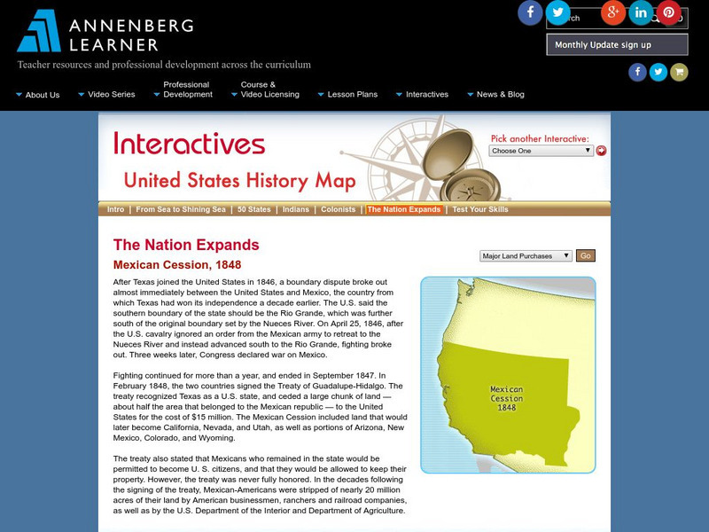
Annenberg Learner: The Nation Expands: Mexican Cession, 1848
See a map of the land acquired by the United States as a result of the Treaty of Guadalupe Hidalgo, called the Mexican Cession. From Annenberg Media.
Curated OER
Educational Technology Clearinghouse: Maps Etc: Trade and Migration, 1840 1850
A map of the United States showing the principal trade and westward migration routes between 1840 and 1850. The map shows state and territory boundaries at the time, major cities, ports, outposts, forts, and settlements, rivers, mountain...
Curated OER
Educational Technology Clearinghouse: Maps Etc: The United States, 1830
A map of the United States in 1830 showing the states and territories, the joint-occupation with Britain in Oregon Country, and the British and Spanish possessions at the time. The map shows the westward expansion of the United States,...
Curated OER
Educational Technology Clearinghouse: Maps Etc: The United States, 1821
A map of the United States and territories showing the westward expansion after the Missouri Compromise (1820) and the admission of Missouri into the Union in 1821.
Curated OER
Etc: Maps Etc: Distribution of Population , 1850
A map of the United States showing the population distribution in 1850. The map is coded to show population densities ranging from under 2 inhabitants per square mile to over 90 inhabitants per square mile. The map illustrates the...
Curated OER
Etc: Maps Etc: Westward March of the Great Pioneers and Explorers, 1911
A map of the United States showing the historic sea and land routes taken by famous explorers across North America, from the coastal explorations of Cabot and Corte Real in the Northeast, Ponce de Leon and Alvarez in Florida and the Gulf...
Curated OER
Etc: Maps Etc: United States Population Density, 1900
A map from 1912 of the United States, subtitled "Distribution of Population and Railways in 1900" showing the increase in population and expansion of the railroad network since 1850. The map is color-coded to show population densities...
Curated OER
Etc: Center of Population, 1790 1900
A map from 1919 showing the mean center of population of the United States, calculated at each census from 1790 to 1900. The map illustrates the westward expansion of territory and migration during the period. "The center of population...
Curated OER
Etc: Principal Routes of Trade and Migration, 1840 1850
A map of the United States between 1840 and 1850 showing the states and territories, and the principal routes of transportation and westward migration during the period. The map shows frontier forts, outposts, and settlements, the...
Curated OER
Etc: Central America and Isthmian Routes, 1846 1860
A map of Central America during the period of westward expansion in the United States when the need to find a shorter practical shipping route from the east coast to the west coast was a principle concern. This map shows the proposed...


