Curated OER
Tornadoes
Middle schoolers examine the characteristics of a tornado. They practice using new vocabulary and participate in a question and answer session. They use the internet to gather more specific information.
Curated OER
El Nino
Middle schoolers recognize that El Nino is caused by changes in the atmospheric and ocean content. They conduct a simple experiment, visit websites and create a class poster using individual storyboards.
Curated OER
Exploring the Night Sky: Summer
Students explain how moon phases occur. They describe and explain at least two common misconceptions that people have about the moon. Students explain what a star is. They explain 3 ways that the night sky has been used throughout history.
Curated OER
Microclimates of Our School
Students read the story "Weslandia" by Paul Fleischman, define the term microclimate, gather and record data in various places on school grounds to establish the presence of difference microclimates, analyze and compare microclimates,...
Curated OER
Understanding Hurricanes and the ER-2
Young scholars study hurricanes; in particular, what they look like, how they are formed, how they are categorized, how they are named, and how they are tracked. They examine the science of hurricanes as well as the mathematics of...
Curated OER
Gettysburg Rocks Recycle to Win
Eighth graders use a geologic cross section to study the rock cycle of the Gettysburg battlefield. In this rock cycle lesson, 8th graders connect the rock cycle and continental rifting.
Curated OER
Air Masses & Fronts
Students identify two distinct air masses and the frontal boundary and determine whether the front is moving in time and in what direction the front is moving.
Alabama Learning Exchange
Researching Hurricanes with Technology
Young scholars explain the components that make up a hurricane.
Curated OER
Exploring the Hudson in 1609
In this geography worksheet, 5th graders study about the exploration of the Hudson River. Students respond to 7 multiple choice questions about the presented facts.
Curated OER
Erosion: On the Move...Defending the Coast Against Wave Attack
Students study how people have tried to save beaches from wave erosion. They examine what has occurred to Cape Hatteras as a result of beach erosion and the efforts to reduce the erosion.
Curated OER
The Great American Desert
In this American deserts worksheet, students study the images and read the passages to learn about the 6 divisions in the American landscape: the Eastern lowlands, the Flood Plain, the Great Plains, the Rocky Mountains, and the Pacific...
Curated OER
The Well of Truth
Students read and explore an Egyptian folktale. In this folktale lesson, students read the book The Well of Truth and discuss geographical facts about Egypt. Students complete several reading comprehension activities including a...
Curated OER
Making Sense of Unusual Findings
Students work on the development of observation skills and seeing how they can be used in different contexts. The lesson is good for helping the beginner and novice, along with encouraging and reminding the expert observer of right...
Other
Bureau of Meteorology: The Weather Map
Explains what a weather map is and how it is prepared. Describes what weather maps show, typical weather patterns in Australia, the use of weather charts, temperature, and wind speed.
Discovery Education
Discovery Education: Weather Maps
This site provides a lesson plan in which groups of students will each investigate a different type of weather map use for weather forecasting. Also includes discussion questions, extension ideas, and links to additional sites for more...
American Geosciences Institute
American Geosciences Institute: Climate and Weather
Eight hands-on lessons module in which students explore climate and weather. Inquiry-based investigations include observing weather, weather reporting, weather maps, weather satellites, causes of weather, and climate change.
Other
The Weather Company: The Weather Underground
Source of weather maps, forecasts, images, and data for the world. Maps include temperature, radar, visibility, wind, heat index, wind chill, humidity, and dew point.
University of Wisconsin
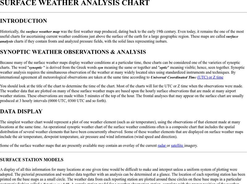
Atmospheric and Oceanic Sciences: Surface Weather Analysis
Explains the use of synoptic weather analysis in preparing weather maps and forecasting. Discusses the use of symbols as well.
Science Struck
Science Struck: A List of All Weather Symbols and Their Meanings
Provides a comprehensive list of weather symbols used on weather maps.
National Weather Service
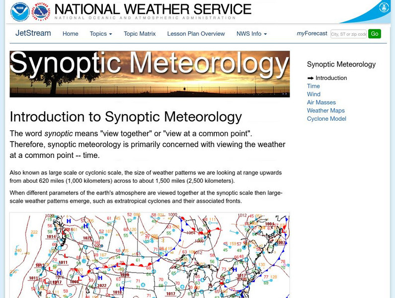
National Weather Service: Jetsream: Synoptic Meteorology
The National Weather Service presents this site on synoptic meteorology, large-scale weather systems. Learn about the structure and behavior of the atmosphere, including clouds, precipitation, winds and more. Also includes learning...
Other
Digital Library for Earth System Education: Teaching Box: Essentials of Weather
A suite of lessons focusing on the basic elements of climate and weather. Inquiry-based exploration of extreme weather events and the factors of weather including clouds, wind, air pressure, temperature, and the water cycle.
Center for Innovation in Engineering and Science Education, Stevens Institute of Technology
Ciese Real Time Data Projects: Weather Scope: A Study of Weather and Climate
Use real-time data to study factors that affect weather and climate, create weather instruments, and share data with students around the world.
PBS
Pbs Learning Media: A Look at Weather Factors: Interactive Lesson
Students learn about four factors that describe different types of weather -- temperature, wind, precipitation, and sunlight and clouds -- as they explore various weather conditions and find evidence that describes each type of weather...
TeachEngineering
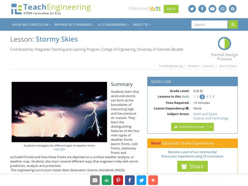
Teach Engineering: Stormy Skies
Students learn that wind and storms can form at the boundaries of interacting high and low pressure air masses. They learn the distinguishing features of the four main types of weather fronts (warm fronts, cold fronts, stationary fronts...


