Curated OER
The Seven Continents Scavenger Hunt
Who doesn't enjoy an engaging scavenger hunt? Here, scholars listen to, and discuss, the informative text, Where is my Continent? by Robin Nelson. They then explore the seven continents and four major oceans using Google Earth.
Curated OER
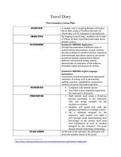
Travel Diary
Darwin kept a travel diary as he voyaged to South America, noting the politics, geography, cultures, animals, and interesting facts he encountered. Your class will do the same. Each student chooses a country to research and keep a five...
NY Learns
Geography of the Fertile Crescent by ECSDM
Using Google Earth, a vocabulary assignment, and map handout, your class members will outline the Fertile Crescent in Mesopotamia and identify the source of the Tigris and Euphrates rivers. They will then complete graphic organizers...
Society for Science & the Public
Easter Islanders Made Tools, Not War
When studying artifacts, especially tools, how do archaeologists determine what the devices were used for? In what ways might researchers' previous experiences influence their perception of an artifact? An article about researchers'...
Curated OER
Motivating Activities for Geography Week
Here is a great way to pique your students' interest in geography, and help them learn about their world.
Environment Agency - Abu Dhabi
Plate Tectonics
Young scholars observe a presentation on plate tectonics, layers of the earth, and plate boundaries. They then use the Internet to research major plates and label them on a world map.
Curated OER
Exploring an Atlas
Students explore global geography by participating in an atlas activity. In this countries of the world lesson plan, students collaborate in small groups and analyze an atlas while researching continents, countries and demographics....
Curated OER
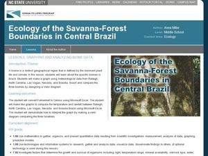
Graphing and Analyzing Biome Data
Students explore biome data. In this world geography and weather data analysis lesson, students record data about weather conditions in North Carolina, Las Vegas, and Brazil. Students convert Fahrenheit degrees to Celsius degrees and use...
Curated OER
Famous Landmarks
Students investigate countries by identifying their national landmarks. In this World Geography lesson, students utilize the Internet to research a historic landmark in a foreign country and complete a landmark survey worksheet....
Curated OER
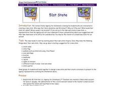
51st State
Students, in small groups, design a new state and create a brochure to present to an agency representative outlining the given information in the lesson. Students use templates in the compute lab to write sentences they have created...
Curated OER
Oceans of the World
Second graders demonstrate their ability to find the five oceans on a globe and on a world map and relate their knowledge of mountains and other physical characteristics of land masses to the physical characteristics of the ocean floor.
Curated OER
Countries of the World
Students in a ESL classroom examine a world map and study the various countries' names. The study the cultures of selected countries and create a vocabulary list. Finally they label an empty map with the countries' names and a short...
Scholastic
Perfect Postcards: Illinois
Connect the geography and history of Illinois using an art-centered lesson on the railroads. The railroad connected once-distant places, particularly in the Midwest. Using research, class members create postcards of fictional cross-state...
Owl Teacher
Latitude & Longitude
Here is a learning exercise activity where learners mark the latitude and longitude coordinates of cities all over the world. There are 15 cities to identify, from Baghdad, Iraq to Warsaw, Poland and Anchorage, Alaska.
Curated OER
Teaching Geography Through Geocaching
Bring geography to life with a real world treasure hunt.
Curated OER
Exploring the Variety of World Markets
Students examine the various types of world markets and analyze the differences between developed and developing countries. They watch a PowerPoint presentation and take notes, participate in a role-play that demonstrates supply and...
Curated OER
Cultures Around the World
Students research, using the Internet, cultures of the world. They identify countries, their currency, holidays, climate and societal information. They look at the distance of international cities from their hometown.
Curated OER
World Climate Growing Zones
Young scholars create a map showing where crops would be grown around the world. In this crops lesson plan, students show how the world climate would produce different parts of the world at different times. Young scholars fill out...
Curated OER
World War II Review
Ninth graders review previously presented material on World War II and discover how the world was at that time. They, in groups, participate in map work designed to explain Axis and Allied countries using toy army men.
Curated OER
The Roman Empire-Map Activity
In this Roman Empire worksheet, students complete a map activity in which they label and color civilizations, countries and physical features as instructed. There are no maps included.
Curated OER
Latitude on World Maps
Sixth graders examine the purposes of maps. In this Geography lesson, 6th graders practice using latitude and longitude on a map.
Arizona Cooperative Extension
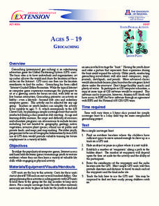
Geocaching
Using GPS units, small groups participate in a scavenger hunt to find an object that you have hidden. They use coordinates for stopping points along a pre-planned path to get to the final cache. This is a terrific activity to include in...
Curated OER
Physical Education Unit Plan: Soccer - Lesson 3
Lesson three of this unit focuses on multiculturalism in soccer. Begin class by showing video clips of soccer in other countries. This lesson includes a link to Rwandan youth playing soccer in an open space. Playing soccer in third...
PBS
Dear Pen Pal
Explore cultures from around the world with an engaging pen pal resource. Through a series of classroom activities and written correspondence, children learn about the favoritec pastimes, schooling, geography, and weather that is...


