Curated OER
The Geography of the United States
Full of bright maps and interesting information, this presentation details U.S. Geography. Slides include basic facts about size, regions, topography, and demographics, as well as fascinating trivia about the United States, including...
Curated OER
Canada's Geographic Position
Ninth graders investigate the characteristics of the geographic position of Quebec and Canada in the World. They study Canada's land and water boundaries, surface area and time zones.
Curated OER
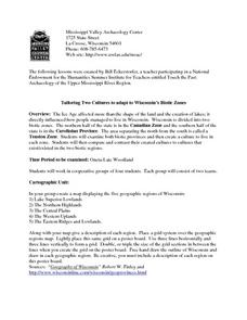
Tailoring Two Cultures to Adapt to Wisconsin's Biotic Zones
Students examine the effect of the various ice ages on Wisconsin. In groups, they create a map representing the five geographic regions of Wisconsin. They must write out a description of each region to be placed on a poster board. ...
Curated OER
Fresh Produce North of 60
Teen-agers discuss how fresh produce is brought into areas that do not have agreeable growing conditions and read an article from Canadian Agriculture at a Glance. They write an essay about projects that may help provide food in these...
Curated OER
The Arctic and Taiga Ecozone of Canada
Young scholars examine the various sub-regions of the Arctic and Taiga zones in Canada. Using the online Canadian Atlas, they locate and describe the characteristics of each zone. They organize their information into a chart and share...
Curated OER
In Harm's Way: Natural Disasters in My Community
Eleventh graders research and debate natural disasters that have occurred in their community. They assess whether these natural disasters were avoidable or were accidents. They investigate the extent of insurance coverage for disasters.
Raytheon
Geometry: Perimeter and Area
In this geometry worksheet, young mathematicians apply the formulas for the area and perimeter of polygons and circles to solve a variety of skills practice and problem-solving questions.
Other
Canadian Tourism Commission: Maps canada.travel
This interactive map is an excellent student and teacher resource. Select Places to Go to show regions, provinces or territories and capital cities. Hover over the area to get links to more detailed information. Get up to the minute...
Institute for Dynamic Educational Advancement
Web Exhibits: Sir Sanford Fleming (1827 1915)
Here you will find the story of how and why time zones came about and the Canadian who developed the system that has become so important around the world. Be sure to read the "Incidents and Anecdotes" section to find interesting facts...
Alberta Online Encyclopedia
Alberta Online Encyclopedia: Alex Decoteau Edukit: Students
Through a timeline, photographs, history, biography page and game zone, students will enhance learning and understanding of the life and times of Alex Decoteau.
Curated OER
Etc: Maps Etc: The Dominion of Canada and Newfoundland , 1920
A map from 1920 of the Dominion of Canada and Newfoundland (Newfoundland and Labrador were not part of the Canadian Confederation until 1949), showing the provinces at the time, provincial capitals, major cities, towns, and settlements,...
Curated OER
Etc: Maps Etc: The Dominion of Canada and Newfoundland, 1920
A map from 1920 of the Dominion of Canada and Newfoundland (Newfoundland and Labrador were not part of the Canadian Confederation until 1949), showing the provinces at the time, provincial capitals, major cities, towns, and settlements,...


