Curated OER
Map of Papua New Guinea
In this geography of Papua New Guinea worksheet, students color and label a map with major cities and physical features. Students will need to do their own research to label this blank map.
Curated OER
Old World and New World - Why Contact Took So Long
Students use a globe to determine why contact between the old world and the new world took a long time. In this map skills lesson, students analyze routes between regions to determine why it took so long for the old world and the new...
Curated OER
Oceania Map Quiz
In this online interactive geography quiz learning exercise, students respond to 14 identification questions about Oceania. Students have 2 minutes to complete the quiz.
Curated OER
Drifting Continents
In this plate tectonics instructional activity, students study the continents map and complete 8 short answer questions related to them. They predict what the Earth will look like millions from now.
Curated OER
Global Connections: Internet Research
In this geography Internet research instructional activity, students find out facts about the capital cities of 12 nations. Students then research facts about Australia, and also find out the country of origin for 4 prominent...
Curated OER
What if Amelia Earhart had Turned Around?
Students discuss an article in USA Today in which Gregg Zoroya proposes his theory about what happened to Amelia Earhart. In this reading comprehension and Amelia Earhart instructional activity, students read an article in USA Today...
Curated OER
University of Texas: Papua New Guinea: Relief Map
A relief map of the islands of Papua New Guinea showing both the mountainous regions and coastal plains. Clicking on the map will enlarge it. From the Perry Castaneda Collection.
Curated OER
University of Texas: Papua New Guinea: Political Map
A political map of the islands of Papua New Guinea which shows the province borders, major cities, and highways.
Curated OER
University of Texas: Papua New Guinea: Small Political Map
A small political map that clearly shows the islands that make up Papua New Guinea. From the Perry Castaneda Collection.
Nations Online Project
Nations Online: Papua New Guinea
Features a country profile of Papua New Guinea located in Oceania, background overview, and numerous links to comprehensive information on this Pacific Island nation's culture, history, geography, economy, environment, population, news,...
Curated OER
Science Kids: Science Images: Map of Papua New Guinea
A political map of Papua New Guinea.
Curated OER
Science Kids: Science Images: Map of Papua New Guinea
A map featuring Papua New Guinea and its neighboring countries.
World Atlas
World Atlas: Australia/oceania
Features a description of Oceania that although the smallest continent includes Australia, New Zealand, Papua New Guinea, and Micronesia. Click on any tab about the map to learn much information about its geography, symbols, natives, and...
Other
Asia Society: Policy
A comprehensive storehouse of all types of information on Asia, both current and past: maps and statistics, Asian food, travel guides, photographs, articles, timelines, and more. Asia Source is the work of the Asia Society, a national...
Curated OER
Educational Technology Clearinghouse: Maps Etc: British New Guinea, 1920
A map from 1920 showing the British territorial claim in Papua New Guinea at the time. The map shows the boundaries with Dutch New Guinea and the German territory of Kaiser Wilhelm's Land, major cities, towns, and ports, rivers, and...
Curated OER
Educational Technology Clearinghouse: Maps Etc: Political Map of Asia, 1919
A map from 1919 of Asia showing the political boundaries at the time. This map shows the extent of the Russian and Ottoman empires in Asia, the British possessions of India, Straits Settlements on the Malay Peninsula, northern Borneo,...
Curated OER
War in Papu, New Guinea
An official Defense Department history of the US Army's campaign in New Guinea during 1942. The campaign was a failure but many lessons were learned by the American troops.
Curated OER
War in Papu, New Guinea
An official Defense Department history of the US Army's campaign in New Guinea during 1942. The campaign was a failure but many lessons were learned by the American troops.
Curated OER
War in Papu, New Guinea
An official Defense Department history of the US Army's campaign in New Guinea during 1942. The campaign was a failure but many lessons were learned by the American troops.
InterKnowledge Corp.
Geographia: Asia
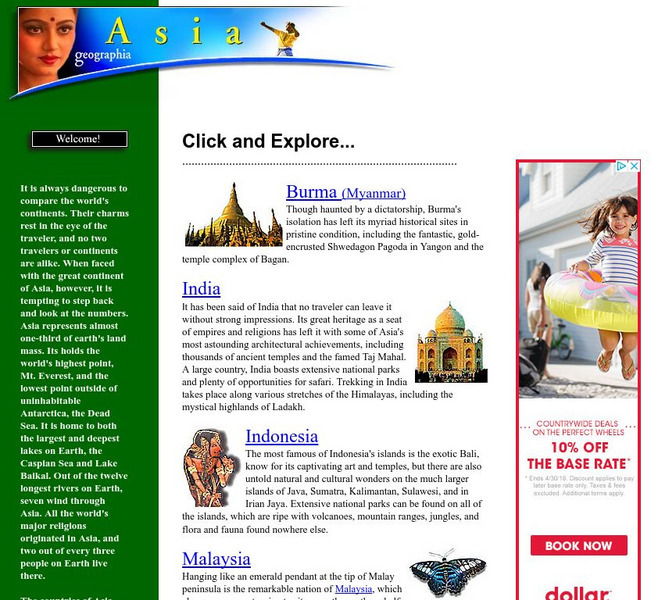
Read about the diverse countries of Asia. Primarily a travel guide, Geographia offers information on other topics, such as economy, geography, climate, history, and people of selected Asian countries. Pictures are included.


