PBS
Pbs Learning Media: Tectonic Plates and Plate Boundaries
This interactive activity adapted from NASA features world maps that identify different sections of the Earth's crust called tectonic plates. The locations of different types of plate boundaries are also identified, including convergent,...
Center for Innovation in Engineering and Science Education, Stevens Institute of Technology
Ciese: Musical Plates: A Study of Earthquakes and Plate Tectonics
This activity has students access USGS earthquake information to plot the their locations on a world map. Doing this will help students discover for themselves the boundaries of tectonic plates.
US Geological Survey
Usgs: Plate Tectonics, Hot Spots, and Ring of Fire: World Map
A world map featuring active volcanoes, plate tectonics, hot spots, and ring of fire.
The History Cat
The History Cat: Geography: Places: Africa's Great Rift Valley
Describes the geography of the Great Rift Valley in Africa, how it was formed by tectonic plate separation, and the majestic lakes and falls that have been created by it.
Extreme Science
Extreme Science: A Lesson in Plate Tectonics
With its clickable map, this site provides text and graphics on spreading boundary, converging boundary, subduction zone, transverse boundaries and faults.
Other
Paleomap Project: Earth History
The PALEOMAP Project illustrates the plate tectonic development of the ocean basins and continents, as well as the changing distribution of land and sea during the past 1100 million years. Includes virtual 3D paeloglobes.
Science Education Resource Center at Carleton College
Serc: A Data Rich Exercise for Discovering Plate Boundary Processes
This article in the Journal of Geoscience Education describes a classroom exercise based on four world maps containing earthquake, volcano, topographical and seafloor age data. Students participate in this exercise by using a "jigsaw"...
PBS
Pbs: Mountain Maker, Earth Shaker: You Try It
What can a hard-boiled egg tell you about the Earth? Check this site out to learn. Be sure to click on "Plate Tectonics activity" for a graphic representation.
University of California
Ucmp: Plate Tectonics
Provides hyperlinks to the history behind and the mechanisms driving plate tectonics. Be sure to click on the globe icons for animations of plate tectonics.
Annenberg Foundation
Annenberg Learner: Dynamic Earth: Plates and Boundaries
Interactive website where students can learn about movement of earth's 15 major tectonoic plates and identify types of boundaries. Includes glossary and learning game.
Other
The Geography Site
The Geography Site offers many links for your geography research. Links offered are to physical geography, human geography, environment, online lessons, and much more.
Curated OER
Geo Net Internet Geography
This site provides a detailed overview of all forms of geography. Learn about earthquakes, ecosystems, plate tectonics, rivers, national parks, and more.
Science Education Resource Center at Carleton College
Serc: Our Dynamic Planet
Learn about the theory of Plate Tectonics with this site that links to a site to order a CD-ROM that contains tools for learners to investigate the theory. On the CD-ROM is included virtual plate tectonics lecture, animations,...
Smithsonian Institution
National Museum of Natural History: This Dynamic Planet
Research and explore past earthquake and volcanic activity on this interactive world map. User can manipulate which notable events and other map characteristics to view depending on the type of study being done.
University of California
University of California Museum of Paleontology: Distribution in Time and Space
The Understanding Evolution site provides evidence for evolution in biogeography utilizing relative dating, geography, and plate tectonics.
Other
Earth History: The Paleomap Project
The Paleomap Project illustrates the plate tectonic development of the ocean basins and continents, as well as the changing distribution of land and sea during the past 1,100 million years.
Other
Paleomap Project
Virtual reality animation map showing continental drift from 200mya to the present. The animation map is small but effective in showing the positions of the land masses.
American Museum of Natural History
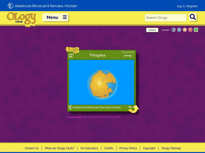
American Museum of Natural History: Pangaea O Logy Card
Learn about the supercontinent known as Pangaea that broke apart into the continents that we know today. Answer questions when you finish reading.
National Earth Science Teachers Association
Windows to the Universe: The Andes Mountains
Satellite photography and brief outline information describe the Andes mountains and provide links to specific features within the landscape - Atacama desert, or evidence of volcanic activity for example.


