Smithsonian Institution
National Museum of the American Indian: Infinity of Nations
Learn about ten North and South American Native American nations by playing the Infinity of Nations Culture Quest game. Examine Native American crafts and artifacts that are part of Smithsonian's National Museum of the American Indian,...
Library of Congress
Loc: American Revolution and Its Era: Maps & Charts
A few maps and some good text on the topography and its importance during both the American Revolution and the French and Indian War.
OpenStax
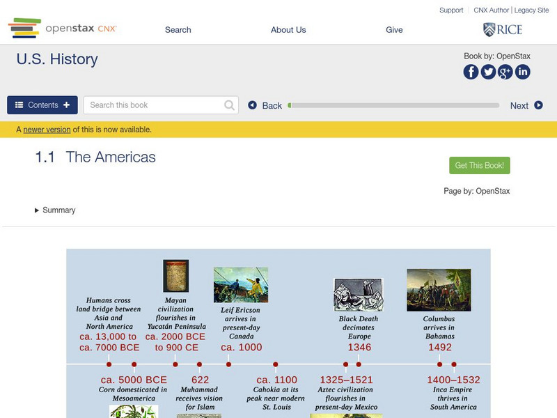
Open Stax: The Americas
After reading this section, students will be able to locate on a map the major American civilizations before the arrival of the Spanish, discuss the cultural achievements of these civilizations and also the differences and similarities...
Curated OER
Etc: Maps Etc: The American Indian Nations, 1776
An early map of the southeastern North America around 1776, showing the American Indian Nations of the region at the time. The map shows colonial boundaries extending from the Atlantic coast to the Mississippi River, towns, forts, and...
Other
Montana Indian Nations
Use this site to learn about several Indian reservations in Montana at this easy to use site. Just click on a Native American group on the map for more information about them.
Curated OER
Etc: Maps Etc: Distribution of American Indians, 1500
A map from 1920 of North America central Canada to northern Mexico showing the distribution and territories of the Native Americans around 1500. The boundaries are based on linguistic stock and not tribal territories. The map was...
Curated OER
Etc: Maps Etc: Mexico and Western North America, 1845
A map of Mexico in 1845, prior to the ceding of the northern territories to the United States in 1846. The map shows the territories of Oregon, Texas, and Central America under Mexican control, and the frontiers of the Missouri and...
Curated OER
Perry Castaneda Map Collection: Map of Early Indian Tribes in the Western u.s.
Map showing the Native American culture areas and the tribes within those cultures in western North America. From the Perry Castaneda collection.
Other
The Woodland/ Algonquian Tribes Before 1500 (Map)
A Map of the geographic regions of the various Native American tribes in northeastern North America.
Curated OER
Educational Technology Clearinghouse: Maps Etc: North America, 1782
A map of eastern North America at the end of the American Revolution, after numerous peace talks were held in Paris between the United States and Britain. This map shows the proposed new boundaries of the United States, English...
Curated OER
Etc: French and Indian Wars, 1754 1763
A map of the North American region of the French and Indian War (1754-1763) between the French and the British for territorial control. The map shows important places and major cities, towns, forts, and battle sites during the conflict.
Curated OER
Native American Indian Resources: Native American Housing Styles
A color map and explanation of the various types of Native American house construction in each region of North America.
Curated OER
Native American Indian Resources: Native American Housing Styles
A color map and explanation of the various types of Native American house construction in each region of North America.
Curated OER
Native American Indian Resources: Native American Housing Styles
A color map and explanation of the various types of Native American house construction in each region of North America.
Curated OER
Native American Indian Resources: Native American Housing Styles
A color map and explanation of the various types of Native American house construction in each region of North America.
Other
University of Delaware: Plate Tectonics
This site is a very simple overview of plate tectonics. It includes a map of all the major plates and a diagram of the layers of the earth.
Curated OER
Etc: Maps Etc: British Possessions in North America, 1775
A map showing the British possessions in North America in 1775, before the outbreak of hostilities during the American Revolutionary War. The map shows the boundaries of the British Colonies along the Atlantic, the Proclamation Line of...
Curated OER
Educational Technology Clearinghouse: Maps Etc: British Canada, 1791
A map of eastern Canada in 1791 after the American Revolution, during the formation of British North America and the division of Quebec into the largely French-speaking Lower Canada and the Loyalist Upper Canada. The map is color-coded...
Curated OER
Etc: Maps Etc: The Location of the Eastern Indian Tribes, 1600s
A map from 1911 of eastern North America showing the general areas of early contact between the Native Americans and European settlers. The map is divided by groups (Algonquians, Iroquoians, Siouans, and Muskhogeans) and the principal...
Curated OER
Etc: Oregon Trail and Other Routes, 1832 1842
A map of western North America between the opening of the Oregon Trail in 1832 to 1842, prior to the establishment of the Provisional Government of Oregon by American settlers in 1843. The map shows the boundary of the Oregon Country,...
Curated OER
Caption Below
A few maps and some good text on the topography and its importance during both the American Revolution and the French and Indian War.
Curated OER
Caption Below
A few maps and some good text on the topography and its importance during both the American Revolution and the French and Indian War.
Curated OER
Caption Below
A few maps and some good text on the topography and its importance during both the American Revolution and the French and Indian War.
Curated OER
Caption Below
A few maps and some good text on the topography and its importance during both the American Revolution and the French and Indian War.


