University of Maryland
University of Maryland: Langscape
This educational tool will identify the languages spoken anywhere on the map. Click on a country to discover which language or languages are native. Scroll to the bottom and find additional resources about the language/country selected.
Education Development Center
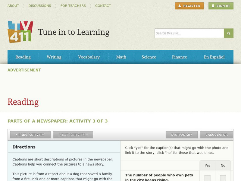
Tv411: Reading: Parts of a Newspaper: Activity 3 of 3
This newspaper activity is to look at the pictures provided, read what the stories are about, and select captions that would fit both the stories and the pictures.
Texas Education Agency
Texas Gateway: Synthesize Ideas in Informational/expository Text
[Accessible by TX Educators. Free Registration/Login Required] Learn how to synthesize and make logical connections between ideas within a text and across two or three texts representing similar or different genres and to support the...
Texas Education Agency
Texas Gateway: Evaluate Graphics in Informational/procedural Text
You will learn how to evaluate graphics for their clarity in communicating meaning and achieving a specific purpose.
Other
California State University: Topographic Map Symbols
Click on any of the geographical terms on this website to see examples that illustrate the symbols commonly used on maps. Includes boundaries, building symbols, caves, mines, elevation symbols, coastal features, and more.
Wisconsin Response to Intervention Center
Wisconsin Rt I Center: Reading Resources [Pdf]
This site provides a collection of reading strategy teaching resources. Strategies are arranged according to the ELA Common Core Curriculum Standards and grade level bands.
Huntington Library
Huntington Library: The Development of Writing and Books: Part Ii [Pdf]
In this lesson, young scholars examine early civilizations and the evolution of written language, at different early methods used to record information in writing, how these methods evolved, and at the impact of books on societies.
Texas Education Agency
Texas Gateway: Evaluate Graphics in Informational/procedural Text
[Accessible by TX Educators. Free Registration/Login Required] In this lesson, you will learn to explain the function of the graphical components. You will also learn to evaluate graphics on how well they do what they are intended to do.
Better Lesson
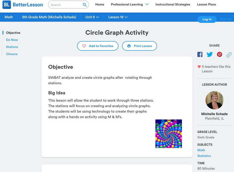
Better Lesson: Circle Graph Activity
This lesson will allow the student to work through three stations. The stations will focus on creating and analyzing circle graphs. The students will be using technology to create their graphs along with a hands-on activity using M&M's.
Other
Delta State University: Lesson Plan 3: Pie Graphs
The students will gather, organize, and display data in an appropriate pie (circle) graph using M&M's! [PDF]
Other
Fdlrs: Thinking Maps: Examples From Brevard Public Schools
See examples of the use of the eight graphic organizers from Thinking Maps. These maps help students organize their learning and identify ways to reflect different kinds of text. The several examples from each grade K-6 show how to use...
University of California
World History for Us All: Getting Our Bearings: Maps of Time, Space, and History
Understanding history requires students to be able to see the big picture. This teaching unit introduces students to tools they can use to investigate history. Topics covered include cartography, chronography, and maps of space, time and...
US Navy
Navigation
[Archived Content] Interactive site where students can learn about navigation techniques through various learning activities.
National Geographic
National Geographic: Mapping
Media-rich resource features extensive mapping tools including activities, games, reference, printables, and more.
National Geographic
National Geographic: Geographic Groceries
This site provides activities and lesson plans for all age levels on mapping.
The Newberry Library
Newberry Library: Art and Exploration of the Poles
Resource with lesson and primary source documents examines the connections between exploration of the North and South Poles and their visual representation.
US Census Bureau
Us Census Bureau: The Art of Persuasion: Using Census Data to Influence Others
In this lesson plan, students will incorporate information from the U.S. Census Bureau's QuickFacts data access tool into an advertisement for a city of their choice. They will use persuasive and advertising techniques to convince others...
George Mason University
George Mason University: World History Sources: Maps
Learn about the history of maps, what makes a map a map, and why bother with maps. Get answers to many different map questions and much more.
National Endowment for the Humanities
Neh: Edsit Ement: Mapping Our Worlds
In this lesson, introduce your students to the world of maps and discover a world of information online. Students learn how to identify different types of maps, comparing maps to the rooms of a house.
Library of Congress
Loc: Language of the Land
Language of the Land uses the metaphor of a journey to tour the rich literary heritage of the US through maps, the words of authors, images of characters, and photographs.
California State University
Reading Strategies From the University of Waterloo
Brief and easy to read, this California State University Northridge site lists strategies for getting the most of your reading. Geared for reading texts and technical material.
Science Education Resource Center at Carleton College
Serc: Topographical Maps, Contour Lines and Profiles
In this mapping field lab middle schoolers determine the elevation of a given object in a designated area on the school campus using cartography tools. Then they use of these tools to create a contour map of the area.
Science Education Resource Center at Carleton College
Serc: Visualizing Topography
This module helps students learn to identify terrain features on topographic maps. Students manipulate animations of hills, valleys, and cliffs to see the terrain from various angles. The module also provides instruction on how to read...
Latimer Clarke Corporation
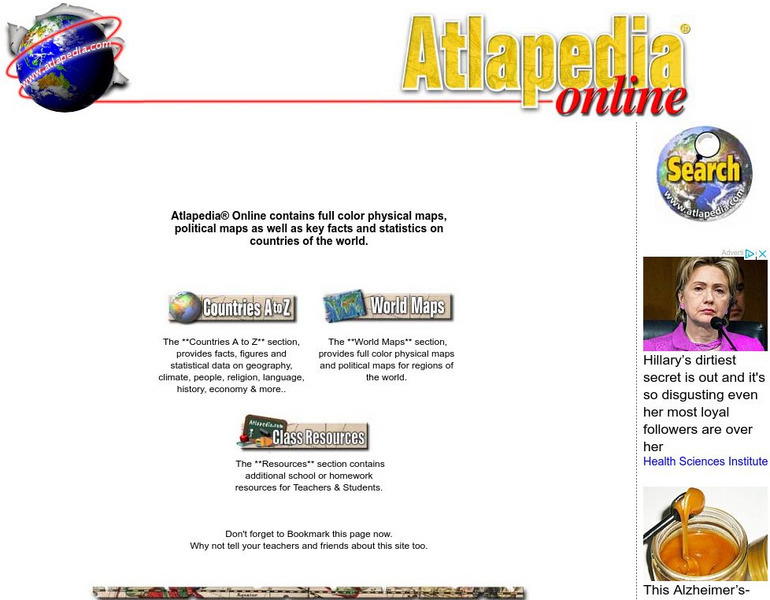
Atlapedia Online
This site provides both physical and political maps of countries of the world in full color. Also contains key facts and statistics.


![Wisconsin Rt I Center: Reading Resources [Pdf] Professional Doc Wisconsin Rt I Center: Reading Resources [Pdf] Professional Doc](https://content.lessonplanet.com/knovation/original/366736-5cd279998cc3cbb7d56ecae193218c44.jpg?1661510893)


