University of Calgary
European Voyages of Exploration: Geography and Cartography
This site provides information on mapmaking and cartograohy of the early explorers. Includes pictures of maps.
Other
Dig Magazine: Quizzes [Archived Version]
These quizzes and answer keys can be downloaded for student use to test knowledge of archeology and history.
Microsoft
Microsoft: Map Reading in the 21st Century
Young scholars learn how to make informed use of new digital mapping information and tools. Learners create hands-on learning experiences for understanding the relevance of maps. The lesson plan consists of student activities, resources,...
Other
Kim's Korner: Graphic Organizers for Writing and Reading
What are graphic organizers for reading and writing? Use this site to learn more about these learning tools.
Daily Teaching Tools
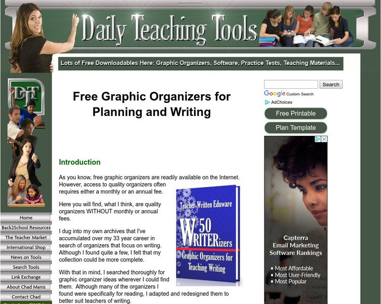
Daily Teaching Tools: Things That We Read
This Daily Teaching Tools resource provides ways to motivate middle school students to read. A link is provided that contains 25 graphic organizers related to reading and note-taking.
Other
Graphic Greats: Photo Treatment
This resource presents an article about the use of photos in documents.
E Reading Worksheets
E Reading Worksheets: Reading Activities
An assortment of reading mini-projects are included on this site. Reading skills worksheets and differentiated reading activities are also included.
National Association of Geoscience Teachers
Nagt: Urban Planning 101: Map Appreciation
In this lesson plan students will begin by looking at a series of maps and they will brainstorm ways the natural world may interact with humans and vice-versa. Students will then come up with a list of features of a city or town, make...
Other
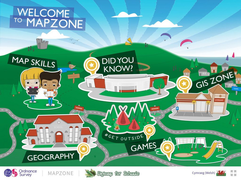
Ordnance Survey: Map Zone
All kinds of fun and interesting ways to learn about maps and acquire mapping skills.
TES Global
Tes: Guided Reading Resources: Nonfiction
[Free Registration/Login Required] This learning module contains several guided reading resources. Students will be able to use the charts to guide themselves as they discuss informational texts and persuasive texts. Teachers can monitor...
52 Stairs Studio
Scribble Maps
Easily draw on maps and then share them with others. Simple enough to be used by students but powerful enough to be used by GIS professionals.
Other
Esri Gis Education Community
Educators can incorporate ESRI GIS into their classroom to enrich geography lessons and use this community to trade ideas with other educators.
Central Intelligence Agency
Cia: World Factbook: The Gambia
This resource from the CIA World Factbook provides a detailed fact sheet of The Gambia in western Africa. The content covers the country's geography, people, government, economy, communications, transportation, military, and...
Colorado State University
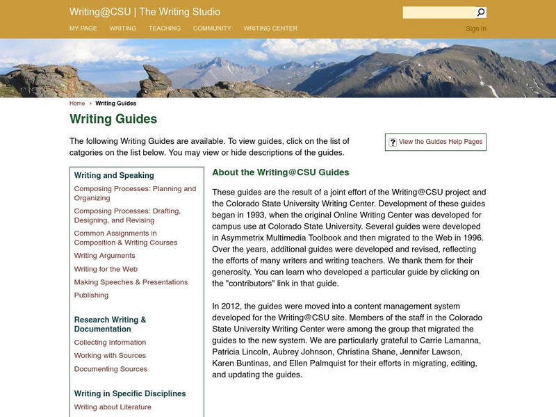
Colorado State Writing Center: Charts
The use of charts and graphs can improve your presentations, whether on paper or as visual aids. Here you can read about how to create line, column, bar, pie graphs, and scatterplots. Just follow the links to their respective pages.
Education Development Center
Education Development Center: Tv411: Parts of a Newspaper
Learners click through a lesson about the parts of a newspaper and answer questions about the types of articles found in each section, headlines, and captions that would go with photographs. Links to related videos are also provided.
Education Development Center
Tv411: Reading: Parts of a Newspaper
A series of three activities help readers become familiar with parts of a newspaper, from sections to headlines and captions.
Austin Independent School District
Austin Independent School District: Graphic Organizers [Pdf]
A printable chart shows nine different types of graphic organizers and is followed by a blank copy of each type of organizer, ready to print and use in the classroom. RI.11-12.5 Evaluate text structure
E Reading Worksheets
E Reading Worksheets: Making Predictions Worksheets and Lessons
In this learning module, students will learn more about making predictions in reading. Worksheets and a leson are provided to support Tier I, Tier II, and Tier III students.
Education Development Center
Tune in to Learning: Reading Charts and Graphs
Practice graph reading skills with these exercises and companion tutorials.
Daily Teaching Tools
Daily Teaching Tools: Additional Webs
Daily Teaching Tools include several graphic organizers. Some of the graphic organizers provided are for the planning of informative paragraphs, summaries, and literary response.
Other
Pricewaterhouse Coopers: Financial Literacy Curriculum
A supplemental curriculum composed of easy to follow lesson plans, accompanied by interactive handouts and dynamic multimedia components. The goal is to provide students and educators access to financial literacy education.
Wisconsin Response to Intervention Center
Wisconsin Rt I Center: Event Map [Pdf]
Teachers will learn how to use event maps with students. They will learn how to implement event maps with literary and informational texts; measure progress with event maps; and find research to support event maps. A reproducible event...
Wisconsin Response to Intervention Center
Wisconsin Rt I Center: Interactive Journals [Pdf]
Classroom teachers will learn about interactive vocabulary journals, engaging instructional strategy tools. They will learn how to implement interactive jounals, understand how to measure progress with interactive journals, find research...
Huntington Library
Huntington Library: Using Primary Sources in the Classroom [Pdf]
This instructional activity provides guidelines for teaching students how to use primary sources such as images, text, or statistics (e.g., maps, census). Includes a document analysis worksheet.


![Dig Magazine: Quizzes [Archived Version] Unknown Type Dig Magazine: Quizzes [Archived Version] Unknown Type](https://content.lessonplanet.com/knovation/original/118579-91e81375aa470058e97109d00f43389a.jpg?1661803501)


