Curated OER
The Great Topo Race
Students create a three dimensional island out of cardboard to examine how to read and use a topographical map. They make sure that their island can sustain life and that it has one volcanic mountain peak. They trace the parts of their...
Curated OER
Outdoor Education; Maps, Elevation
Ninth graders use online topographical maps to fill in a chart regarding elevation and contour lines.
Curated OER
Picture This: Telling Our Tales with Self-Portraits
Learners view a number of self portraits to determine the importance of pose, setting, clothing, and props in a piece of artwork. They design a self-portrait emphasizing the use of contour lines.
Curated OER
Cows on Parade
Students use assorted drawing materials and sheets from a cow shaped pad to create a unique, bright, colorful cows.
Science Education Resource Center at Carleton College
Serc: Geo Map App Learning Activities: Rules of Contouring
Using GeoMap software, students learn how to read topographic maps, and the rules for using contour lines on a map. Detailed teacher and student handouts are provided. (GeoMap software can be downloaded at: http://www.geomapapp.org/.)
PBS
Pbs Learning Media: Visualizing Topography
Explore the topography of a hill, a valley, and a cliff in this interactive activity featuring visualizations of three-dimensional topography in two dimensions. Adapted from Stephen Reynolds' "Visualizing Topography."
Texas Instruments
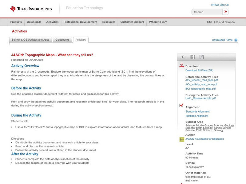
Texas Instruments: Jason: Topographic Maps What Can They Tell Us?
Rainforests at the Crossroads: Explore the topographic map of Barro Colorado Island (BCI); find the elevations of different locations and how far apart they are. Also determine the steepness of the land by observing the contour lines on...
Science Education Resource Center at Carleton College
Serc: Visualizing Topography
This module helps students learn to identify terrain features on topographic maps. Students manipulate animations of hills, valleys, and cliffs to see the terrain from various angles. The module also provides instruction on how to read...
TeachEngineering
Teach Engineering: Getting to the Point
For this lesson, students learn how to determine location by triangulation. We describe the process of triangulation and practice finding your location on a worksheet, in the classroom, and outdoors.
CK-12 Foundation
Ck 12: Earth Science: Maps
[Free Registration/Login may be required to access all resource tools.] How to use topographic, bathymetric, and geologic maps.
Enchanted Learning
Enchanted Learning: Topographic Map Activity
An activity to practice interpreting contours.
Alabama Learning Exchange
Alex: Let Them Eat Cake! Topography Lesson
Contour lines on topographic maps require visual processing to read and interpret. This hands-on activity helps give a tasty mental image.
Khan Academy
Khan Academy: Calculating Contour Lines
Understand how contours are drawn around particles to create a liquid surface.
Math Science Nucleus
Math Science Nucleus: Topographic Maps
For a picture of a topographical map, go to this page. There is some information to help you understand what they are.


