Science Education Resource Center at Carleton College
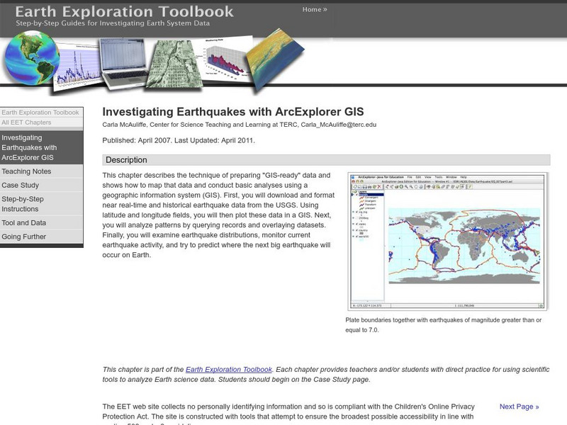
Serc: Investigating Earthquakes With Arc Explorer Gis
This activity allows students to predict future earthquake activity by interpreting the results of geographic information system (GIS) analysis.
Science Education Resource Center at Carleton College
Serc: Bot Ec: Energy Released in an Earthquake
A magnitude 8.5 earthquake (such as the 1964 Good Friday earthquake in Alaska) releases about 1x10¹⁸ joules of energy. The atomic bomb exploded over Hiroshima released about 1.5x10¹³ joules of energy. How many Hiroshima bombs would one...
Science Education Resource Center at Carleton College
Serc: Bot Ec: The San Andreas Fault's Rate of Movement
The San Andrea is an active fault zone, marked by frequent earthquake activity. The crust southwest of this strike-slip fault (including Los Angeles) is sliding to the northwest relative to the other side. It is possible to estimate the...
Science Education Resource Center at Carleton College
Serc: An Earthquake Lab for Physical Geology
This article from the Journal of Geological Education describes an activity in which students locate the epicenter of several earthquakes, plot the trends of the two faults involved, and determine the sense of motion along the plane of...
Science Education Resource Center at Carleton College
Serc: Fairly Simple Geology Exercises
A collection of geology exercises which include relevant background information, complete instructions, student handouts, and answer keys. Topics include rock and mineral identification, Bowen's reaction series, crystal models,...
National Institute of Educational Technologies and Teacher Training (Spain)
Ministerio De Educacion: Los Cambios en El Medio Natural Ii
In this unit you can learn about the deformation of rocks, magmatism, plutonism and seismic waves. It has 16 interactive activities.
Society for Science and the Public
Science News for Students: Big Rocks' Balancing Acts
Discusses research on balanced rock formations in California, which scientists believe can show information about severe earthquakes in the past, and whether certain areas are prone to them. [October 19, 2011]
Math Science Nucleus
Math/science Nucleus: Famous Earthquakes Animation
This animation reviews three famous historical earthquakes in a storybook format with pictures and animations, told from the perspective of three girls.
PBS
Pbs Teachers: Seismometer
Build an instrument for measuring movement to learn about how scientists measure the Earth's movement with a seismometer.
Math Science Nucleus
I. Science Ma Te: Integrating Science, Math and Technology
This site offers a wealth of online textbook-related materials that encourage the discovery of science in the world around us. Enter the site to access material on specific topics. Each section contains reading material (complete with...
American Association of Physics Teachers
Com Padre Digital Library: Physics to Go: Explore Physics on Your Own
Contains a full physics curriculum with links to games, webcasts, and activities. By creating a free account, students and teachers can create their own personal collection of resources.
PBS
Pbs Teachers: Deadly Shadow of Vesuvius
Observe the relationship among volcanoes, earthquakes and lithospheric plates by collecting data and creating maps. This activity was created to be used with the NOVA program, "Deadly Shadow of Vesuvius" but the video is not necessary...
Youngzine
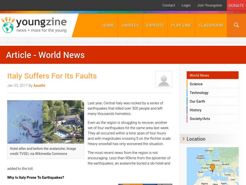
Youngzine: Italy Suffers for Its Faults
Leran why the geology of Italy results in earthquakes in the region.
Other
Denver Museum of Nature and Science: Colorado's Forces of Nature
Students examine Colorado's forces of nature. Some topics explored are tornadoes, floods, blizzards, and windstorms. Images and video clips are included.
Other
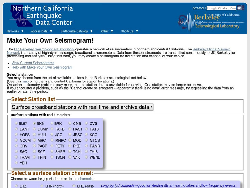
Ncedc: Make Your Own Seismogram
This site from NCEDC gives you an opportunity to "make your own seismogram" by choosing from a number of options on the screen.
Other
New Mexico: Earthquake Education and Resources
This site from the New Mexico Bureau of Mines & Mineral Resources is a helpful online resource for the science classroom. Learn what an earthquake is, how it is measured, how we prepare for one. Also, locate additional links and...
Other
Noaa: National Geophysical Data Center Images Faults
This is a great slide show with real examples of the different types of faults.
Other
University of South Carolina: The Rapid Earthquake Viewer
Students can get access to data from seismograph stations throughout the world to locate recent earthquakes through the Rapid Earthquake Viewer(REV).
Other
K 3 Learning Pages: Tsunami Disaster
This site features several links to tsunami relief sites. Students and teachers can access information about the tsunami relief efforts through these resources.
US Geological Survey
U.s. Geological Survey: Earthquakes: Liquefaction
Maps and images that show liquefaction, the process by which water-filled sediment loses strength and acts like a fluid.
US Geological Survey
U.s. Geological Survey: Rock'n on Shakey Ground [Pdf]
The basics of earthquake science including factual information about how and why they happen. Also includes some hands-on activities and experiments for students.
NC State University
The Engineering Place: Earthquakes and Volcanoes
In this lesson plan, students simulate volcanic explosions using liquids of varying viscosity, and learn about volcano and earthquake zones around the world.
US Geological Survey
Usgs: November 29, 1975 Kalapana
Describes details of the earthquake of November 29, 1975 Kalapana in Hawaii, the tsunami, and the eruption of the volcano Kilauea as a result of the earthquake.
US Geological Survey
U.s. Geological Survey: Life of a Tsunami
Animations illustrating long-lasting tsunami waves once they strike a coast.


