Curated OER
Community Building
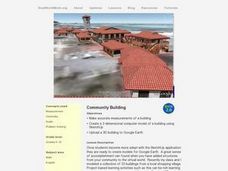
Pupils build different shapes using sketches. In this geometry lesson, students explore measurements and units as they build and create models of buildings. They use SketchUp to create and manipulate shapes.
Curated OER
Time Zone Problems
For this time zones worksheet, students use a formula along with information found on Google Earth to calculate time zones around the world. Students complete 12 word problems.
Curated OER
Money Makes the World Go Around
Students convert currency from around the world. In this math instructional activity, students solve exchange rate problems using Google Earth. They complete a worksheet during the simulation.
Curated OER
Expanding the Mission: Historical Parks
Students explore U.S. geography by viewing a documentary in class. In this national parks lesson, students view video clips of individual national parks and locate them using Google Earth software. Students create a persuasive...
Curated OER
A Tour of Rome Fit for an Emperor
Students travel to Rome. In this geography skills lesson, students explore famous places in Rome with Google Earth tools. Students research the city of Rome and create touring brochures of the city from the perspectives of past emperors...
Curated OER
Google Earth Exercise: Rivers
For this Google Earth worksheet, students search the site and answer short answer questions about different rivers in the world. Students answer 11 questions.
Curated OER
Google Earth Exercise: The Seven Wonders of the World
In this Google Earth worksheet, students search the site and answer short answer questions about The Seven Wonders of the World. Students answer 28 questions.
Curated OER
Using Google Earth in the Classroom
Young scholars explore google earth and its functions. In this navigation lesson students create their own tour of google earth using all the navigation tools.
Curated OER
Culminating Alternative Energy Project
Students work in teams to complete an alternative energy project. In this alternative energy lesson, students are assigned a city and decide on the most appropriate alternative energy source for their city. Students use maps from Google...
Curated OER
A Digital Family Tree Trip Through Time
Students research their family history by creating a family tree and using online tools. For this family tree lesson, students use bubbl.us to research their biographical information and web the data. Students create timelines for their...
Curated OER
Great Monuments of the World
Students explore the wonders of the world through inquiry. In this world monuments lesson, students investigate famous landmarks around the world as they conduct and apply research. Students create products that feature their findings...
Curated OER
All Quiet on the Western Front
Students use unitedstreaming and Google Earth to investigate World War II and All Quiet on the Western Front. In this novel and technology instructional activity, students view a video about the novel using unitedstreaming video, visit...
Curated OER
Google Earth on the Range
Eighth graders use Google Earth to study the landscape of Utah. In this Utah landscape lesson, 8th graders view landscape photos and work in partners to analyze the pictures. Students write a paragraph that describes the landscape and...
Curated OER
Google Earth Scavenger Hunt
Students complete activities to learn how to use Google Earth and study Alaska. In this Google Earth lesson, students complete a Google Earth scavenger hunt to find facts about Alaska. Students complete two worksheets for the topic.
Curated OER
Sea Ice and Satellites
Students study satellites and satellite images using Google Earth. For this satellite lesson, students discuss satellites and how they work. Students watch a demonstration of how satellites work and learn what they are used for. Students...
Curated OER
My Summer Vacation
Students study the United States geography using Google Earth. In this U.S. geography lesson, students create travel journals about five U.S. geographical locations. Students research the human and physical characteristics for each region.
Curated OER
Oliver's Journey
Students use a variety of media and technology resources as they complete an online activity about the United States. They use downloaded software from 'Google Earth' to follow Oliver K. Woodman on his travels across the United States.
Curated OER
The Origins of Business
Learners explore the world of inventions by utilizing Google Earth. In this global geography instructional activity, students research inventions such as the ball point pen, computer, telephone and typewriter. Learners use the Google...
Curated OER
Where in the USA?
Students explore the use of Google Earth and Virtual Earth. In this Google Earth and Virtual Earth lesson plan, students use the applications to look at famous places on the earth. They solve clues (not given) to find the assigned...
Science Buddies
Science Buddies: Do Large Mammals Align Themselves With Earth's Magnetic Field?
In this science fair project, use Google Earth to determine if large mammals align themselves in respect to the earth's magnetic field. The Science Buddies project ideas are set up consistently beginning with an abstract, objective, and...
Science Education Resource Center at Carleton College
Serc: Lab 4: A Bird's Eye View: Exploring Your Region
An investigation that is part of a series of lab lessons that expose students to Earth Systems through research, data, and visualizations. In this lab, students will investigate their region by using Google Earth and predicting what...
Google
Google for Education: Applying Discrete and Continuous Data in a Map
Using various tools, student will be able to analyze and calculate the amount of urban open space available in their city.
TeachEngineering
Teach Engineering: What's Wrong With the Coordinates at the North Pole?
Students complete a self-guided exercise in worksheet format combined with Google Earth that helps them explore practical and observable differences between different projection and coordinate systems. The activity improves their skills...
TeachEngineering
Teach Engineering: Searching for Bigfoot and Others Like Him
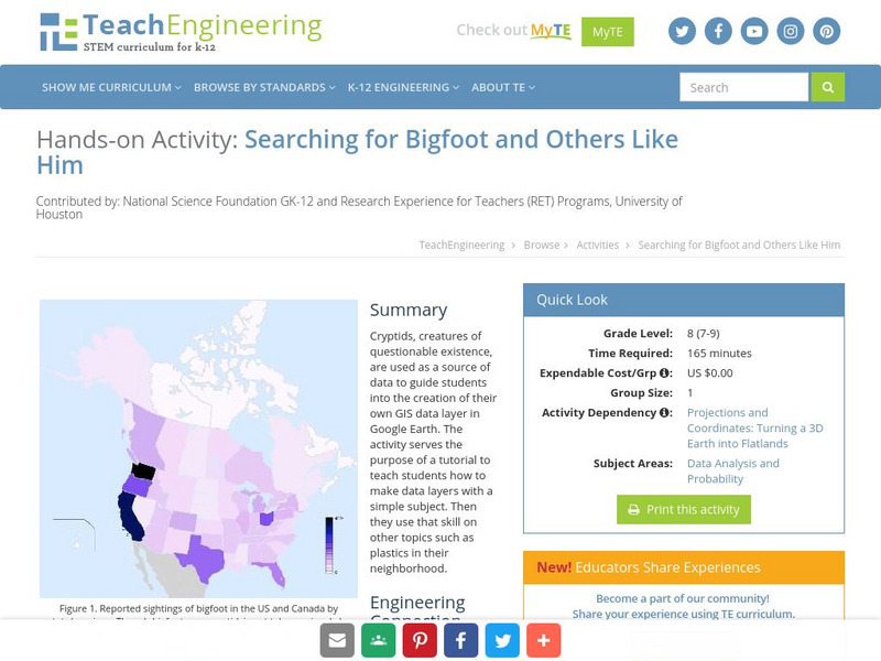
Cryptids, creatures of questionable existence, are used as a source of data to guide students into the creation of their own GIS data layer in Google Earth. The activity serves the purpose of a tutorial to teach students how to make data...


