Montana State University
Sea Floor to Summit
Who knew that mountain formation could be so entertaining? Leanr how mountains form with a resource on Mount Everest. Activities to guide learning include a simulation, project, videos, coloring activities, and worksheets.
PBS
Earthquakes and Volcanoes
Earth's surface constantly changes thanks to a variety of geological forces; in fact, Australia currently moves faster than GPS technology. Scholars connect the idea of continental drift to earthquakes and volcanoes with the help of an...
Montana State University
Climb into Action!
Climate change affects even the largest and intimidating of landforms—even Mount Everest! A resource helps teach learners the connection between global climate change and its effects on Earth. Activities include videos, class discussion,...
Montana State University
Everest Extremes: Biodiversity
How many animals can live in a climate as cold as Mount Everest's? Find out with a science instructional activity all about biodiversity. Activities include research, presentations, group work, coloring maps, and a simulation of a food web.
Curated OER
Put the Mountains on the Map
Students discuss what they know about the regions where snow leopards live. They observe the worksheets to see if they can identify any of the mountain ranges and then use atlases to check and complete the country identification worksheet.
Curated OER
Mountain Range Project
This is an outline for a geography project which requires learners to research, compare, and construct a book about various mountain environments around the world. Even though this is a simple outline, it contains some useful ideas and...
Curated OER
Mountains of the World Quiz 2
In this geography skills activity, students respond to 10 short answer questions featuring famous mountain ranges of the world.
Curated OER
Carving Mountains
Students explore geography by participating in an illustration activity. In this land-form activity, students define vocabulary terms associated with glaciers and forests. Students utilize pens, cardboard and pottery clay to draw and...
Curated OER
Leapin' Landmarks: Locating 10 Man-made Landmarks Around the World
Third graders label continents, oceans, and major mountain ranges on maps and use the maps to write an informational report about landmarks. In this landmarks lesson plan, 3rd graders write about 1 major landmark.
Curated OER
World Geography: Who am I?
Students are able to provide a basic description of one country that has arsenic in its water supply. They are able to locate these countries on a map. Students explore the majors countries that have been affected by arsenic...
Other
Adirondack Mountains History
Gives a history and statistics of the Adirondacks as well as numerous links to addtional information on the area.
Curated OER
National Park Service: Great Smoky Mountains
Visit "America's Most Visited National Park. "Provides maps, weather, and park activities.
Geographyiq
Geography Iq
Detailed geographical information on any country is available at this site. Within the World Map section, you can get facts and figures about each country's geography, demographics, government, political system, flags, historical and...
Other
Bscs: Content Background Earth's Changing Surface
This is written to support and further your content learning about the dynamic nature of Earth's surface. The goal is for you to develop a conceptual understanding of landforms so that you will be able to more effectively teach...
Other
Mcwdn: Maps & Globes: Landforms Mountains
Informative site about mountains. Look at the picture and read all about mountains, then take a quiz to show how much you know!
Other
Habitats of the Andes Mountains
Great general information about the Andes Mountains. Excellent photos to go along with the info.
Other
West Virginia Geological and Economic Survey: Mountains
Site for general information about mountains. There is a downloadable PDF of this article with pictures.
Channel 4 Learning
4 Learning: Geography Essentials: The Mountain Environment
An introduction to the mountains, with information on the mountain climates, mountain life, and mountain uses. Includes materials for teachers: worksheets, image bank, and links.
Other
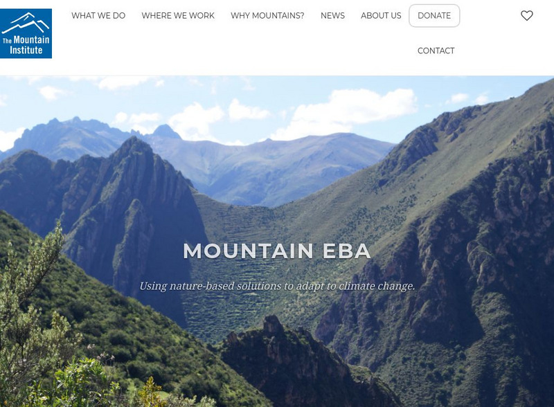
Mountain Institute: Learning About Mountains, Explore Mountains
The Mountain Institute provides information on three areas: Andes, Appalachians, and the Himalayas. Find resources on conservation, the mountain ecosystems, and the culture of the areas.
Center for Educational Technologies
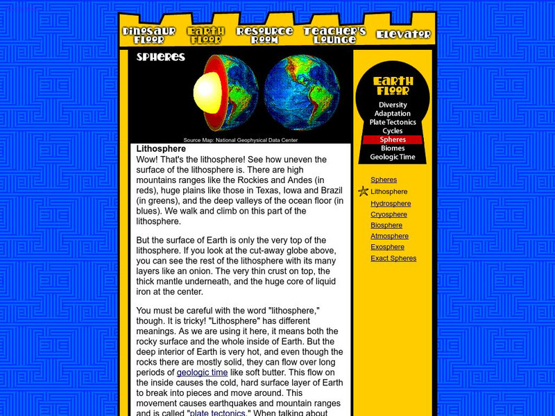
Nasa: Classroom of the Future: Spheres: Lithosphere
At this site from the NASA Classroom of the Future, you can learn about the many different layers of the earth and see what the earth would look like cut in half.
Other
Southern Kings Consolidated School: Mountains
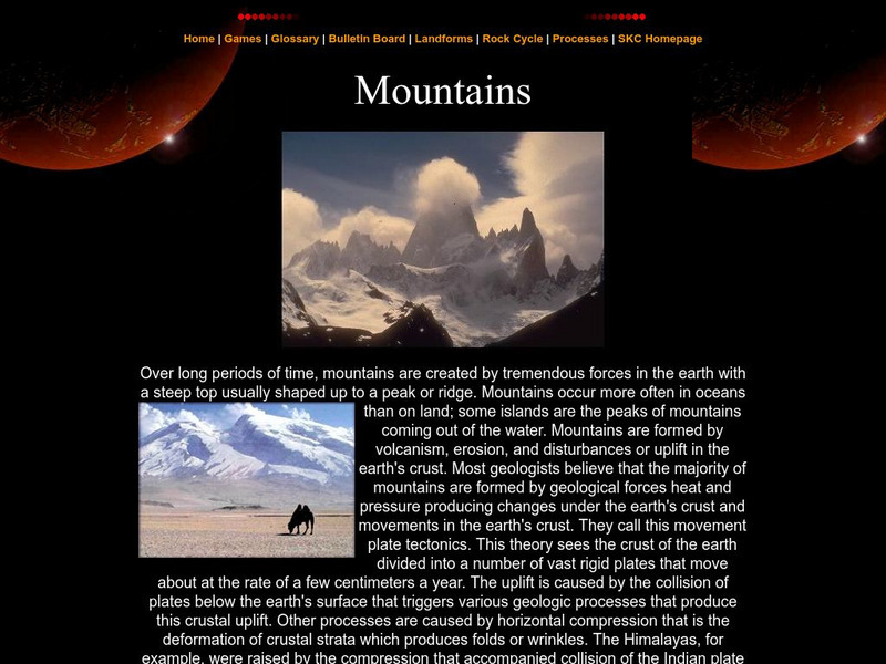
Site from the Southern Kings Consolidated School about mountains. Learn what mountains are and how they form.
Wikimedia
Wikipedia: Pacific Ring of Fire
Wikipedia offers information on the location of the Pacific Ring of Fire, an area of frequent earthquakes and volcanic eruptions. Map included.
Other
Appalachian Trail
Describes the Appalachian Trail. Provides journal entries from hikers on the trail, books, maps, and cassettes.
Other
Personal Site: Walking in the Pyrenees
This personal site is a site with a detailed account of a walking trip through the Pyrenees Mountains.


