Indiana University
Indiana University Bloomington: Abc's of Indiana Geology 4 [Pdf]
One of four sets of 26 ABC cards that have definitions and descriptions of geologic terms and earth science concepts. This set looks at significant geological locations in Indiana.
Indiana University
Indiana University Bloomington: Abc's of Indiana Geology 3 [Pdf]
One of four sets of 26 ABC cards that have definitions and descriptions of geologic terms and earth science concepts.
Indiana University
Indiana University Bloomington: Abc's of Indiana Geology 2 [Pdf]
One of four sets of 26 ABC cards that have definitions and descriptions of geologic terms and earth science concepts.
Indiana University
Indiana University Bloomington: Abc's of Indiana Geology 1 [Pdf]
One of four sets of 26 ABC cards that have definitions and descriptions of geologic terms and earth science concepts.
Other
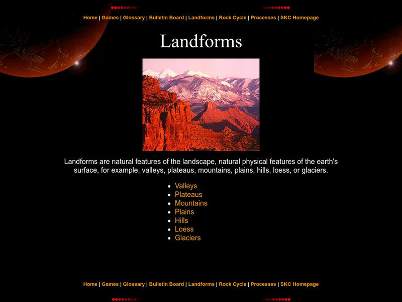
Landforms
The education department of Prince Edward Island has a great page with information pertaining to landforms. Starting with a definition, it then moves to the specific types like valleys, mountains, plateaus, etc.
CK-12 Foundation
Ck 12: Flex Book Textbooks: Earth Science Concepts for Middle School
[Free Registration/Login may be required to access all resource tools.] A complete, web-based, multi-media textbook covering a wide variety of Earth science concepts for middle grades.
National Geographic
National Geographic: Mapping Landforms
Students will study landform maps of states and then create a project of their own.
Better Lesson
Better Lesson: Making a Landform Model
In the NGSS, one of the performance expectations is for the children to develop a model to represent the shapes and kinds of land and bodies of water in an area. In the science practices, the children also must develop and use models....
Better Lesson
Better Lesson: What Shapes the Land?
In this activity, the teacher will read a book about different landforms. The children will learn about the features of the landforms and how they were shaped by natural forces. Then text features will be discussed. The children will...
Other
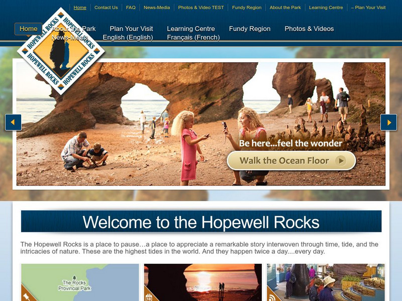
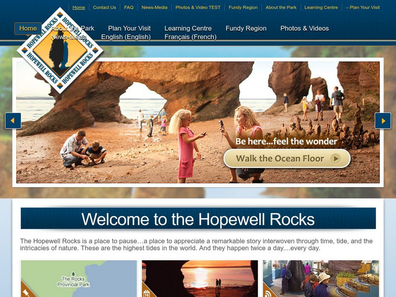
Welcome to the Hopewell Rocks
Visit the famous Hopewell Rocks and explore the park and its famous Flowerpot Rocks where the highest tides in the world can be found. Check out the "Did you know?" sections for fascinating facts and information.
Other
Hopewell Rocks 360 Degrees Panorama
Take a panoramic tour of the famous Hopewell Rocks. Explore the ocean floor and the rock formations. Be careful! When the tides come in the water rises to a height of a four story building.
NOAA
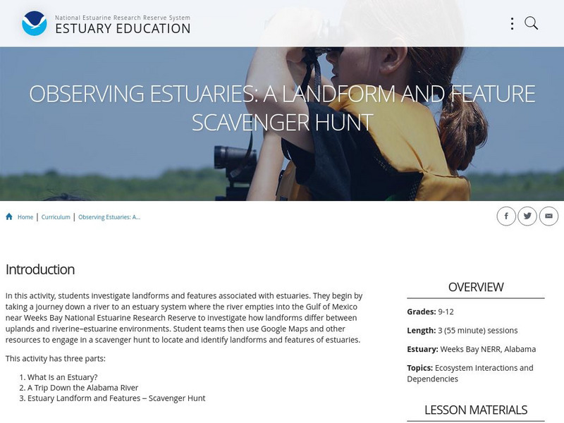
Noaa: Estuaries 101 Curriculum: Observing Estuaries:
Students investigate landforms and features associated with estuaries by taking a journey down a river to an estuary system where the river empties into the Gulf of Mexico near Weeks Bay. They will use Google Maps and other resources to...
Other
Hopewell Rocks Photo Gallery
View this stunning collection of images showcasing Hopewell Rocks and the famous Flowerpot Rocks located in the Bay of Fundy.
Other
Bscs: Earth's Changing Surface Lesson 2: Landform Detectives
Using relief maps, students will learn that landforms can be different from one place to another. Included are a minute-by-minute lesson plan, activities, and teacher discussion points and questions.
Other
Bscs: Earth's Changing Surface Lesson 1: Our Land
This hands-on lesson focuses on the land and its many different types of landforms and bodies of water. Included are a minute-by-minute lesson plan, activities, and teacher discussion points and questions.
Other
Bscs: Earth's Changing Surface Lesson 3: Grand Canyon Explorers
Students will learn that landforms can change over time in this lesson. Included are a minute-by-minute lesson plan, activities, and teacher discussion points and questions.
Other
Bscs: Content Background Earth's Changing Surface
This is written to support and further your content learning about the dynamic nature of Earth's surface. The goal is for you to develop a conceptual understanding of landforms so that you will be able to more effectively teach...
Houghton Mifflin Harcourt
Harcourt: School Publishers: Types of Land
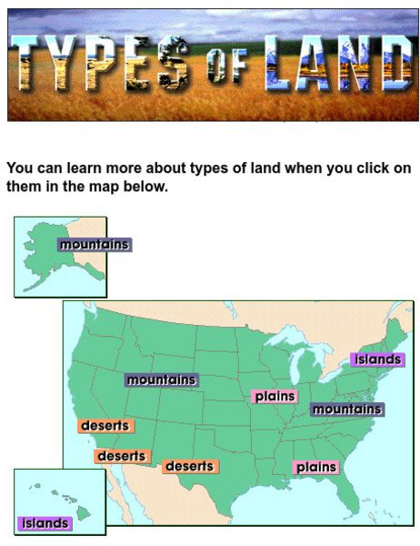
This clickable map of the United States defines different geographic features such as mountains, plains, islands, and deserts.
Scholastic
Scholastic: Loaves of Landforms!
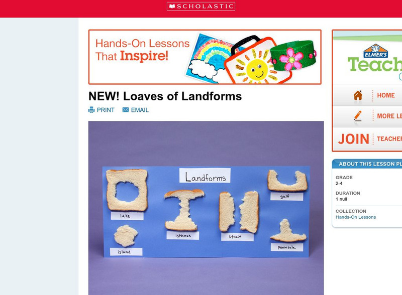
A foundation in geography begins with an understanding of the terms geographers use to describe the features of Earth. This lesson plan is designed to help students grow their vocabulary and learn to recognize common landforms in a...
Science Education Resource Center at Carleton College
Serc: The Science of Puddles
Students will look at their schoolyard and determine where a puddle will form after a heavy rain. They will map the school yard and draw chalk lines to demonstrate their predictions. After a rain children will check their predictions and...
Science Education Resource Center at Carleton College
Serc: Global Land Vegetation
This Global Land Vegetation module is one of four Studying Earth's Environment from Space modules. It consists of three sections: class resources, computer lab resources, and a glossary and acronym List.
Science Education Resource Center at Carleton College
Serc: Geo Blocks 3 D Interactive 3 D Geologic Blocks
This interactive tutorial on visualizing geologic features contains animated block diagrams that show how the surface expressions of dipping layers, folds, igneous intrusions, and faults are related to subsurface structure and cross...
Math Science Nucleus
Math Science Nucleus: Maps as Tools
A series of lessons in which students learn about landforms. Includes interpreting landforms, creating landforms, and information on Angel Island.


![Indiana University Bloomington: Abc's of Indiana Geology 4 [Pdf] Handout Indiana University Bloomington: Abc's of Indiana Geology 4 [Pdf] Handout](https://d15y2dacu3jp90.cloudfront.net/images/attachment_defaults/resource/large/FPO-knovation.png)
