PBS
Ocean Circulation in the North Atlantic
Swirling and churning, the waters of the North Atlantic play a vital role in Earth's climate! Discover the many factors that produce circulation using a multimedia lesson from PBS's Weather and Climate series for high schoolers. Scholars...
Space Awareness
Navigating with the Kamal
Historians have proven that as early as 1497 skilled navigators were using a kamal to sail across oceans. Scholars learn about navigation tools and astronomy before building their own kamals. They then learn how to use it to determine...
Space Awareness
The Intertropical Convergence Zone
Young scientists know it is hotter along the equator, but why is it also rainier? Through the process of completing two experiments and a worksheet, scholars discover the answer is the intertropical convergence zone. First, they...
National Wildlife Federation
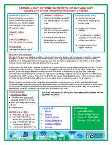
Is It Getting Hot in Here, or Is It Just Me?
Currently, only 2.1% of global warming is felt on continents, while over 93% is felt in the oceans. The fourth lesson in the series of 21 on global warming is composed of three activities that build off one another. In the first...
National Wildlife Federation
Ghost Town
Around 93 percent of the reefs on Australia's Great Barrier Reef have been bleached, and almost one quarter of them are now dead. Scholars research the sea temperatures, especially around the areas with coral reefs, to make connections...
Curated OER
Understanding Latitude and Longitude
Teaching learners about latitude and longitude can get a little complicated. Present the concept by first representing it as a graph. Just like finding a location on a graph using the x and y-axis, learners will be able to locate items...
Curated OER
Variables Affecting Earth's Albedo
Students study the variables that affect the Earth's albedo. In this environmental data analysis lesson students interpret and graph information and calculate changes.
Curated OER
Blank Jeopardy
Games are a great way to motivate learners to internalize information.. Using this PowerPoint which is in a Jeopardy format, students can review map skills and facts about the Civil War, famous places, and our government. This is a handy...
Bonneville
Solar Pathfinder Tutorial
Find the right path to learn about solar energy. Scholars set up and use Solar Pathfinders to take measurements related to solar insolation at a particular site. Based on the data, they estimate the solar potential in kWh/m^2/day of a...
Texas Education Agency (TEA)
GIS GPS in Agriculture
Let's navigate! Using the informative resource, pupils perform a WebQuest on the benefits of Geographic Information Systems and Global Positioning Systems. Then, they write a brief summary describing how both systems benefit the...
NASA
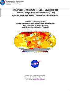
Earth’s Energy Budget
Take the time and energy learn about Earth's energy budget. An engaging unit of four lessons focuses on the components that make up Earth's energy budget. Future scientists come up with a formula for the energy budget, then use software...
National Wildlife Federation
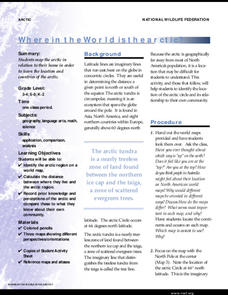
Where In the World Is the Arctic?
Exactly how far away is the Arctic? Learners use maps to orient themselves to their locations on the globe. They then make calculations to describe how their location relates to the location of the Arctic regions.
Radford University
Trouble in the Orchard
It's no fun catching a fungus. Scholars first investigate how the seasons affect the angle of the sun and the lengths of shadows. They then apply right triangle trigonometry to determine the height of trees based on their shadows to...
Radford University
Georgia Peaches and California Dreamin’
Plant the fruits of trigonometry. Pairs work through the process of finding the best place to plant fruit trees on a piece of property. The scholars must take into consideration the location of the property and the solar zenith angle. To...
Radford University
Earthquake Problem
Shake up things in the classroom. The unit uses earthquakes to bring a real-life connection to finding arc lengths, logarithms, and equations of circles. Small groups determine whether particular towns would have felt an earthquake after...
NOAA
Understanding El Niño Using Data in the Classroom
Are weather troubles caused by El Nino? An installment of a larger series presents a five-part lesson on El Nino. First, scholars learn to read sea surface temperature maps. Then, they compare them to data on graphs before determining if...
PBS
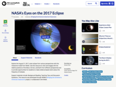
NASA's Eyes on the 2017 Eclipse
How did the 2017 eclipse look in Los Angeles—or Chicago? Experience both views, plus many more, using a lesson from PBS's Space series for middle schoolers. Scholars follow the movements of the sun, moon, and Earth during the most recent...
Magic of Physics
Rotating Sky
Ever found it difficult to observe the night sky with pupils because school takes place during the day? Host a stellar lesson using a detailed night sky interactive! Scholars view the apparent rotation of the sky from the comfort of the...
BrainPOP
Latitude and Longitude Differentiated Lesson Plan
Scholars warm-up their map skills with a discussion using location words to describe familiar places. An engaging video informs class members about latitude and longitude. Three leveled activities extend the learning experience for...
Montana State University
Meet Mount Everest
Learning about one landform might seem boring to some, but using the resource provided practically guarantees scholar interest. The second in a sequential series of eight covering the topic of Mount Everest includes activities such as a...
CK-12 Foundation
Latitude, Longitude, and Direction: Angle from the Equator
Which has the higher IQ, latitude or longitude? Longitude because it has 360 degrees! The interactive introduces the way latitude is measured and why it can never have more than 90 degrees. A handful of challenge questions encourage...
Polar Trec
Where in the World Is Our Teacher?
Kirk Beckendorf, a middle school teacher, joined researchers at the McMurdo Station in Antarctica to help maintain automatic weather stations. The lesson encourages pupils to track his travels around the region. They connect with the...
CK-12 Foundation
Location on the Earth: Longitude and Latitude
To what degree do learners understand coordinates? Get them some practice in Yosemite National Park in a simple, fun interactive. Pupils explore a map and locate coordinates of popular sights within the park, then answer questions...
CK-12 Foundation
Location and Direction: Angle from the Equator
From any angle, this interactive is helpful. Earth science super stars explore a location's angle from the equator through a hands-on activity. Questions guide learners as they test their knowledge of direction and geometry used in...


