Curated OER
Tell Time With Your Feet
Students discover what the latitude and longitude of their location is. They start walking and measure their shadow. They fill in a chart to discover the approximate time.
Curated OER
Mission Planning: Geography
Students investigate the use of latitude and longitude to locate specific locations on Earth and evaluate that location as a potential landing site for researchers, terrestrial or alien space missions.
Curated OER
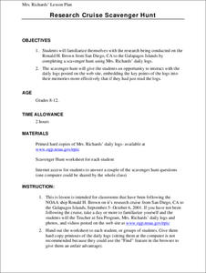
Research Cruise Scavenger Hunt
Students track the research cruise of the Ronald H. Brown from San Diego to the Galapagos Islands. They match research groups with the key words, using the ship's daily logs to find the answers.
Curated OER
States with Attitude, Latitude and Longitude Dude
Sixth graders identify states whose boundaries are formed by lines of latitude and longitude or natural borders such as rivers. They trace a map of the U.S., and fill in borders, rivers and lines of latitude and longitude.
Curated OER
Finding Longitude and Latitude on Pennsylvania Maps
Students draw the lines of longitude and latitude on a map. Students look at a topographical maps to see how topography relates to land use.
Curated OER
How far have we traveled?
Pupils practice longitude and latitude to determine given position on Earth's surface, convert and calculate angular measurements, and use Pythagorean Theorem to determine change in position or distance traveled between any two locations.
Curated OER
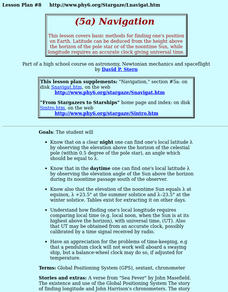
Navigation
Students study the basic methods for finding one's position on Earth. Latitude can be deduced from the height above the horizon of the pole star or of the noontime Sun, while longitude requires an accurate clock giving universal time.
Curated OER
Eagle Creek Park (A Hike)
Students plot a hiking course using aerial photos and a topographic overlay and find the latitude and longitude of absolute locations. They measure the total distance of a hiked area and figure the area of the ground walked using Heron's...
City University of New York
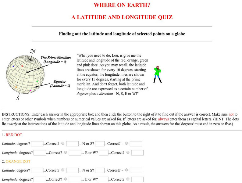
Virtual Geology: Where on Earth: A Latitude and Longitude Quiz
This quiz starts with select points on a globe. Students must determine the latitude, longitude, and direction for each point.
PBS
Pbs Nova: Find Your Longitude
Lost at sea with only your sextant? Use your knowledge of longitude to find your place. The non-shockwave interactive activity makes the concept of longitude concrete.
Smithsonian Institution
Smithsonian Institution: Time and Navigation
Explore navigation methods by sea, air, and space, what latitude and longitude mean, how GPS works, about satellite navigation, and learn about professional navigators. Includes a timeline of developments in navigation from 1280 to the...
Other
Physical Geography: Glossary of Terms
Teachers who are looking for a complete course study in physical geography need this site. It is very well organized and colorfully designed. It contains an online glossary, study guides, links, clip art, maps etc.
Geographyiq
Geography Iq
Detailed geographical information on any country is available at this site. Within the World Map section, you can get facts and figures about each country's geography, demographics, government, political system, flags, historical and...
National Geographic
National Geographic: A Latitude/longitude Puzzle
Through examining maps students will be able to identify locations and characteristics of them based on latitude and longitude and infer what events might occur in the places.
Pamela Seed
The Art and Science of Fifteenth Century Navigation: Latitude
Chronicle of the changes that occurred in various areas when latitude was identified in 1516. Site includes links to the changes in maps, compass roses, and the science of sailing.
Science Education Resource Center at Carleton College
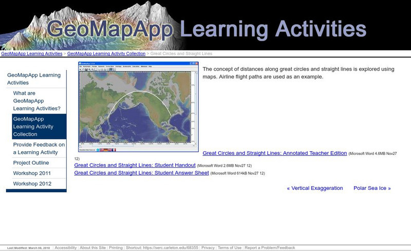
Serc: Great Circles and Straight Lines
Using maps, students explore the concept of distances along great circles and straight lines. Airline flight paths are used as an example.
wikiHow
Wiki How: How to Get Longitude and Latitude From Google Maps
This article will teach you how to get longitude and latitude for any given location using Google Maps.
Social Studies for Kids
Social Studies for Kids: Latitude and Longitude
A collection of latitude and longitude mapping activities ranging from pin-pointing exact locations on the globe to researching the history behind this basic geography concept.
Diffen
Diffen: Latitude vs. Longitude
Find out about the basics of latitude and longitude with this comparison chart. Then read the article and watch the video to dig a little deeper into the topic.
Quia
Quia: Noise Pollution?
This quiz will determine whether you can use latitude and longitude properly to find absolute locations on the earth.
ABCya
Ab Cya: Latitude and Longitude Treasure Hunt
Use the longitude and latitude clues to find the treasures on the map. The more treasures you find the more challenging it will be to find them.
Ohio Test Prep
Ohio Test Prep: Module 4: Geography Skills
Test preparation material for the Ohio tests in Social Studies provides video tutorials, practice interactives and assessment on geographic tools, latitude and longtitude, and regions.
TeachEngineering
Teach Engineering: Where Is Here?
For this lesson, students are shown the very basics of navigation. The concepts of relative and absolute location, latitude, longitude and cardinal directions are discussed, as well as the use and principles of a map and compass.
SMART Technologies
Smart: Latitude and Longitude
Try to locate famous landmarks using latitude and longitude coordinates in this interactive classroom activity.


