PBS
Pbs Nova Online: Lost at Sea the Search for Longitude
"The quest for a reliable method to find your way at sea was one of the thorniest problems of the 1700s." Find out about the search for longitude at this NOVA site. Includes interactive Shockwave game, learning activities and more.
CK-12 Foundation
Ck 12: Earth Science: Location and Direction
[Free Registration/Login may be required to access all resource tools.] Using latitude and longitude to find a location.
CK-12 Foundation
Ck 12: Earth Science: Location on the Earth
[Free Registration/Login may be required to access all resource tools.] Using latitude and longitude to find a location.
Mariners' Museum and Park
Mariners' Museum: Resources: Age of Exploration
Scroll to the bottom of this page to access activity resources and lesson plans that encourage students to explore an understand the practicalities and difficulties involved in sailing to new places during the Age of Exploration.
CK-12 Foundation
Ck 12: Earth Science: Location and Direction Study Guide
This comprehensive study guide covers the main terms and concepts needed for an earth science unit on latitude and longitude. Review questions are included at the bottom of the study guide.
Teachers.net
Teachers.net: Explore Latitude and Longitude With Pumpkins: Lesson Plan
Pupils paint pumpkins to make their own globes in this fun way to learn longitude and latitude.
The Franklin Institute
Franklin Institute: In Quiry: Minutes From Me: Latitude, Longitude and Vacations
An explanation of latitude and longitude along with a classroom activity that uses the location of students' vacation destinations for charting latitudes and longitudes.
New York Times
New York Times: Crossword Puzzle: Latitude & Longitude
Here is an interactive & printable crossword puzzle developed by the New York Times Learning Network. The theme of this puzzle is Latitude & Longitude.
American Geosciences Institute
American Geosciences Institute: Earth Science Week: Places on the Planet: Latitude and Longitude
Young scholars learn how citizen scientists involved in the Geological Society of America's EarthCaching project use GPS technology and latitude and longitude coordinates to find special places on the Earth.
TeachEngineering
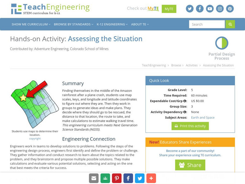
Teach Engineering: Assessing the Situation
In this activity, students will use the scale, the key, and longitude and latitude on a map to determine where they have crashed. They will then use the map scale to determine the distance to the nearest city and how long it will take...
City University of New York
Brooklyn College, Cuny: Latitude and Longitude
Students can read about how lines of latitude and longitude form a grid that makes it easy to pinpoint one's location on Earth. Then they can take an online quiz to check their understanding.
SMART Technologies
Smart: Final Project Map Skills
This lessons explores the different ways we can view our world along with the different parts of a map or globe.
National Geographic
National Geographic: Introduction to Latitude and Longitude
In this lesson, students learn to determine the latitude and longitude of locations within the United States, while making observations about climate and the ways in which these measurements can be useful. Includes maps and discussion...
Other
Boat Safe Kids: Longitude and Latitude
This website starts at the very beginning and explains how round globes are transferred to flat maps. Then they explain the use of longitude and latitude.
Mocomi & Anibrain Digital Technologies
Mocomi: What Is Latitude and Longitude?
Provides interesting facts about latitudes and longitudes including how they are measured, why they are important, and the Halley meridian and Bradley meridian.
Curated OER
Clip Art by Phillip Martin: Latitude and Longitude
A clipart illustration by Phillip Martin titled "Latitude and Longitude."


