Curated OER
Mapping My World
Students are introduced to simple maps and view a map of a classroom and compare distances of items shown.
Curated OER
Animals from Afar
Students visualize the scope of the Roman empire by illustrating the geographic origins of various imported animals. They study how exotic animals were imported into Rome from the farthest regions of the empire.
City University of New York
Virtual Geology: Maps Home Page: Topic and Quiz Menus
This collection of resources cover map topics and includes quizzes for improving map and globe usage skills.
National Endowment for the Humanities
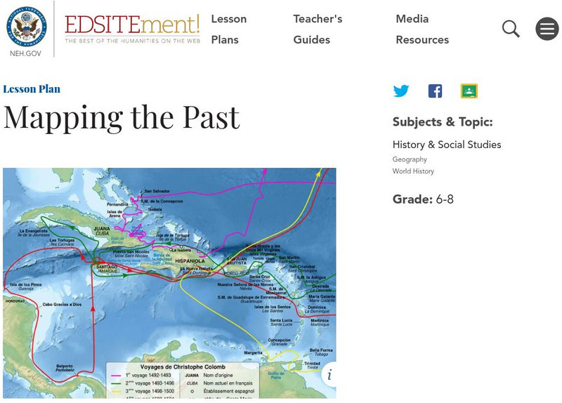
Neh: Edsit Ement: Mapping the Past
This lesson plan requires the students to examine past maps from various cultures in order to learn how the people from that time period interacted and understood their world.
Other
Kodak: Social Studies Lesson Plans
This Kodak site has twelve lesson plans submitted by teachers from every grade level. Each activity integrates photography into the lesson.
Other
La Rue Literacy Exercises: Reading a Map: Quiz 12
In this quiz, students are given sections of a map with locations like the school, post office, back, etc. They are asked questions about directions from one place to the other.
Other
Geoscience Australia: Map Reading Guide: How to Use Topographic Maps [Pdf]
A topographic map can be challenging to read. This guide explains how to decipher one and how to use a magnetic compass to orient yourself to the landscape. It also explains how to use GPS coordinates.
University of California
Us Geological Survey: Cartogram Central
The USGS offers detailed information on Types of Cartograms, Congressional Districts, Software for Cartograms, Publications, and a Carto-Gallery.
Discovering Lewis & Clark
Discovering Lewis & Clark
A hyperhistory that takes the student on an interactive journey along with Lewis and Clark.
Other
Office of the Prime Minister: Capital Scramble
Drag the provinces and territories to their locations on the map of Canada in this interactive game. Then unscramble the letters to identify the capital cities of each of the provinces. A paper pencil version may be printed.
Other
Reach the World: Geogames Build Planet Earth
Practice your mapping skills with Build Planet Earth! This animated 3D globe challenges players to locate the Poles, continents, countries, and cities. Colorful graphics and sound effects as well as a teacher's lesson plan are included.
PBS
Pbs Learning Media: Cardinal Directions | Activity Starter
A thorough interactive program helping students to understand the cardinal directions.
National Geographic
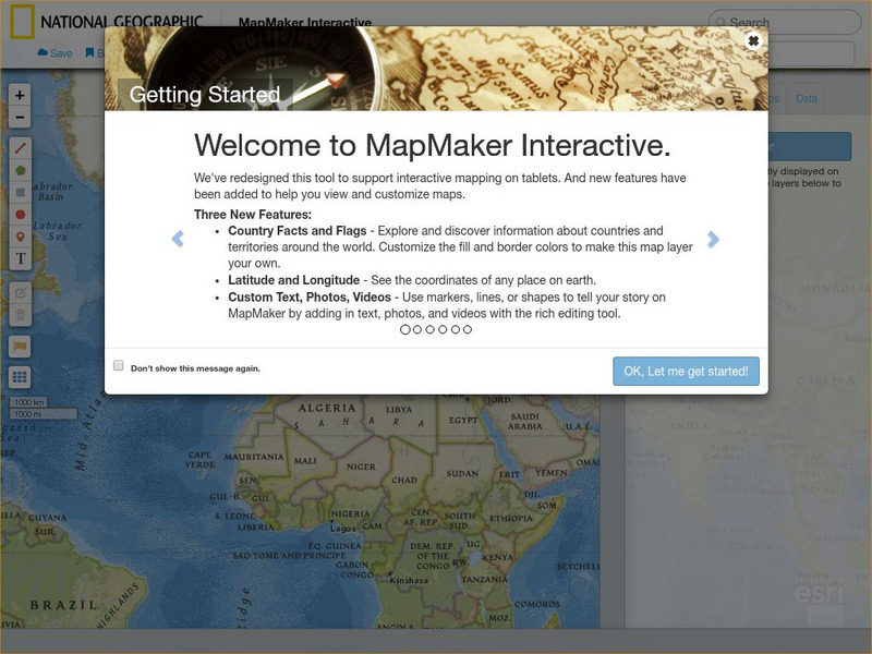
National Geographic: Mapmaker Interactive
Interactive map maker in which students can manipulate world maps adding layers and data with multiple sources of information.
PBS
Pbs Kids: Where's Buster?: A u.s. Geography Game About the States
Develop map and directional skills as well as skills in following a series of clues to find which U.S. state Buster is in.
Utah Education Network
Uen: The Pony Express
Fourth graders will draw a map showing the route they travel from home to school.
National Geographic
National Geographic: Geographic Groceries
This site provides activities and lesson plans for all age levels on mapping.
National Endowment for the Humanities
Neh: Edsit Ement: Carl Sandburg's "Chicago": Bringing a Great City Alive
In this lesson students examine primary source documents including photographs, film, maps, and essays to learn about Chicago at the turn of the 20th century and Carl Sandburg's famous poem. After examining the poem's use of...
National Endowment for the Humanities
Neh: Edsit Ement: Go West: Imagining the Oregon Trail
A 2,000-mile trek across a continent-with no idea what awaits you on the other side. Tell your students to put on their traveling shoes and prepare for the journey of their lives! In this lesson, students compare imagined travel...
BBC
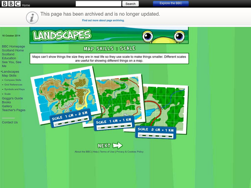
Bbc: Landscapes: Scotland: Map Skills: Scale
Lesson for elementary students on map skills uses a map of Scotland to teach about the concept of scale.
E-learning for Kids
E Learning for Kids: Science: Antarctica: What Is Position and Reference Point?
With all the snow and ice in Antarctica, it's easy to get lost. Help Tim find his way using a map and a compass.
E-learning for Kids
E Learning for Kids: Science: Antarctica: Penguins: What Is Motion?
What do you know about Emperor penguins? Ernie is researching them and their migration across the continent.
Pamela Seed
The Art and Science of Fifteenth Century Navigation: Latitude
Chronicle of the changes that occurred in various areas when latitude was identified in 1516. Site includes links to the changes in maps, compass roses, and the science of sailing.


