Other
The Smithsonian: Lewis & Clark: Mapping the West
The Smithsonian's EdGate project provides this illustrated narrative site that explores the mapping of the American West accomplished by the 1804-06 Lewis and Clark expedition.
University of California
Us Geological Survey: Cartogram Central
The USGS offers detailed information on Types of Cartograms, Congressional Districts, Software for Cartograms, Publications, and a Carto-Gallery.
C3 Teachers
C3 Teachers: Inquiries: Maps and Geography
A comprehensive learning module on maps that includes three supporting questions accompanied by formative tasks and source materials, followed by a summative performance task. Students learn about map symbols, cardinal directions, and...
National Geographic
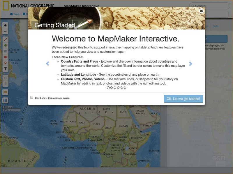
National Geographic: Mapmaker Interactive
Interactive map maker in which students can manipulate world maps adding layers and data with multiple sources of information.
Other
California State University: Topographic Map Symbols
Click on any of the geographical terms on this website to see examples that illustrate the symbols commonly used on maps. Includes boundaries, building symbols, caves, mines, elevation symbols, coastal features, and more.
US Geological Survey
Usgs: Geologic Maps
This site has a good description of what this particular type of map represents. It also explains the colors and letter symbols, faults, and strike and dips.
SMART Technologies
Smart: Geography Unit: Maps
This geography unit is designed to follow the 1st Grade geography skills required in Virginia. Students are expected to use cardinal directions, read map keys and understand map symbols, as well as identify our city and capital.
BBC
Bbc: Bitesize Geography: Os Map Skills
A short tutorial on mapping tools and how to read maps. Covers features of maps, symbols, the compass, scale, distance, how height is represented, and grid references. Includes multiple-choice quiz at the end.
ClassFlow
Class Flow: Parts of a Map
[Free Registration/Login Required] This flipchart explores the basic parts of a map including the map title, compass rose and map legend.
HotChalk
Hot Chalk: Lesson Plans Page: Find Captain Hook's Treasure
Lesson that helps students understand maps, map directions, and map symbols. Students use teacher-created maps to locate numbered keys on the playground.


