PBS
What's In a Name?
What is in a name? Eager historians trace the geographical history of places in the United States with Spanish names. Using a worksheet activity, clues, and web research developed in conjunction with the PBS "Latinos in America" series,...
New York State Education Department
Global History and Geography Examination: August 2015
Need a comprehensive test about global history and geography? Look no further! Test young historians' understanding of how to use primary sources to formulate answers with an assessment that uses multiple-choice questions that...
New York State Education Department
Global History and Geography Examination: January 2016
What do the Inca Civilization, Wittenburg Church, and India's economy in the Mughal Period have in common? The well-rounded standardized test challenges scholars to remember all of them. They use different graphics and maps to answer...
New York State Education Department
Global History and Geography Examination: June 2016
Assess scholars' knowledge of the changing borders in Germany during World War II with a test that includes both multiple choice and essay questions.
New York State Education Department
Global History and Geography Examination: August 2016
Challenge class members with an architectural resource that asks them to use a variety of skills to answer multiple choice questions as well as several essay prompts about the streets and house fronts of ancient Athens. One question asks...
New York State Education Department
Global History and Geography Examination: January 2017
Global history and geography class members demonstrate their knowledge of and ability to analyze primary sources such as graphics, maps, political cartoons, and texts from important documents with an assessment that includes multiple...
New York State Education Department
Global History and Geography Examination: June 2017
Learners respond to multiple choice, short answer, and essay questions to demonstrate their understanding of global history and geography.
New York State Education Department
Global History and Geography Examination: August 2017
Looking for a final examination for global history and geography? Here's a resource that includes multiple choice, essay, and short answer questions.
New York State Education Department
Global History and Geography Examination: January 2018
Finding a test that assess knowledge of global history and geography can be challenging, but here's a resource that solves the problem. Updated January 2018, the exam asks class members to analyze charts, primary sources, and graphic...
University of Texas
Let's Go to Argentina/¡Vámonos a Argentina!
Give your young Spanish language learners a lesson in culture! Focus on learning Spanish though exploring Argentinian culture. Pupils interact with maps, fill out travel journals, discuss time and food, learn and practice new vocabulary...
National Geographic
Mapping the Americas
Celebrate the geography of the Americas and develop map skills through a series of activities focused on the Western Hemisphere. Learners study everything from earthquakes and volcanoes of the Americas and the relationship...
Richmond Community Schools
Map Skills
Young geographers will need to use a variety of map skills to complete the tasks required on this worksheet. Examples of activities include using references to label a map of Mexico, identify Canadian territories and European...
Curated OER
South America and Central America Map Quiz
In this online interactive geography quiz activity, students examine the map that includes all of Central and South America's countries. Students match each of the country names to the appropriate locations on the map.
Curated OER
South America and Central America Capitals Map Quiz
In this online interactive geography quiz instructional activity, students examine the map that includes all of Central and South America's countries. Students match each of the country names to the appropriate...
Curated OER
South America Outline Map
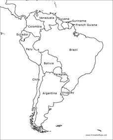
In this blank outline map worksheet, students explore the political boundaries of South America and the nations there. This map may be used in a variety of classroom activities. The map is labeled with the country names.
Curated OER
South America Outline Map
In this blank outline map worksheet, students explore the political boundaries of South America and the nations there. This map may be used in a variety of classroom activities. The location of the capital cities are denoted with...
Curated OER
South America Map
In this South American political map worksheet, students examine both national boundaries and national capitals.
Curated OER
Americas: Political Map
In this North America and South America outline map worksheet, students examine the political boundaries of the 2 continents.
Curated OER
South America Map
In this South America political map worksheet, students examine the country boundaries. The map also labels each of the countries and their capitals.
Other
El Sur Del Sur: Actividades Economicas
Available in Spanish and English. This site provides in-depth information on Argentina. This page deals directly with its economy and natural resources.
Other
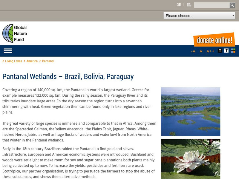
Global Nature Fund: Pantanal
A web resource that describes the Pantanal, the "world's largest wetland". It covers parts of Brazil, Bolivia, and Paraguay. Click on 'detailed data' to read lots of factual information.
Soft Schools
Soft Schools: Geography: South America Quiz
Take this interactive, multiple-choice quiz over the geography of South America, then review your score and any missed questions at the end.
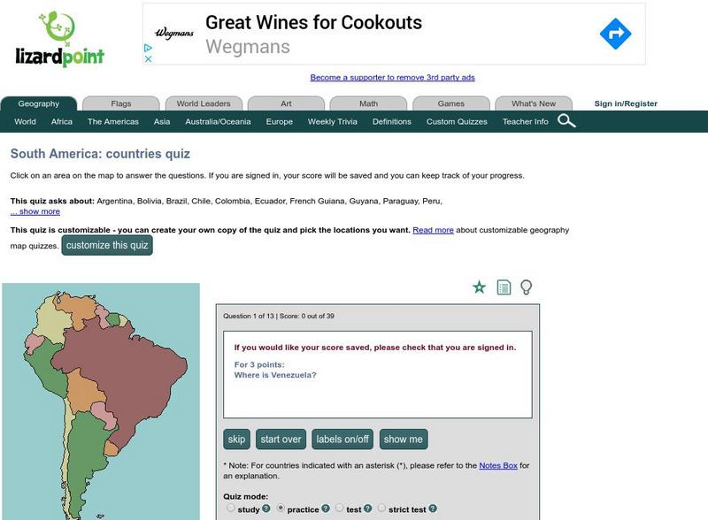
Lizard Point Quizzes
Lizard Point: The South America Quiz
Take this interactive map quiz from Lizard Point to practice and test your knowledge of South American geography.
World Atlas
World Atlas: South America
Presents a description of the geography of South America, the 4th largest continent, with maps and photos.


