Curated OER
CLASSROOM MAPS
Pupils do a blind tour of their school by responding to verbal commands. They look and discuss various maps in the classroom. They locate the direction of the sunrise and discuss the compass directions of North, South, East, and West.
Curated OER
Drawing a Bird's Eye View Map
Students make birds-eye view maps and place the compass rose on the map.
Curated OER
Globe Lesson 4 - The Compass
Students study compass' and their use in navigation. In this compass lesson, students use a compass and a globe to answer the questions about navigation.
Curated OER
Directions on a United States Map
Young scholars generate directions for an imaginary trip. For this map lesson, students review the four main directions and how to use a map legend. Young scholars locate destinations based on directions given by classmates.
Curated OER
Y8 Energy Transfers and Magnetism (H)
In this science word search activity, students identify and locate words as they relate to energy transfer and magnetism. There are 17 words to locate in the puzzle and spell correctly.
Curated OER
Where's Up?
Fifth graders brainstorm answers to the question why compasses point north. In groups, they use introduce the needle to the different ends of the magnet. They place the needles in a styroform disk and record their results in their...
Curated OER
Angle Benchmarks
Sixth graders discuss the characteristics of specific angles and then use the information to to identify and estimate given angles. The class goes outside, identifies north, and turns a specified amount of degrees. Using a given compass,...
Curated OER
Orienteering I
Students are introduced to compass work. They name the parts of a compass. Students describe how the parts of a compass are used. They are shown the proper way to hold a compass. Students are shown that-a-way arrow and its purpose.
Curated OER
Orienteering II
Students name the parts of a compass and comprehend the function of each part. They define paces and tallies and use them in a real world situation. Students are shown the proper use of radio terminology. They use a map and compass to...
Curated OER
Geography: Japan Project Online Lesson, Part 2
Learners, in small groups, create and exchange map questions and share them with students in Japan. After examining the maps, they compare and contrast the two maps on the county Web Board. Learners use a rubric to evaluate their answers.
Curated OER
How to Be "Naturally Attractive" (Without Even Trying)
Students examine the various properties of magnets, explain how a compass works and make an electromagnet. They also experiment with magnetic lines-of-force using paper and iron filings.
Curated OER
Location, Location
Third graders draw and interpret simple scale maps, use maps to move around efficiently or plans to propose actions. They use of a compass to specify and find directions. They display and discuss a map of the local region.
Curated OER
Orienteering
Students proceed through a simple course following a map but not using a compass. They must find 18 controls working in pairs that leave at 2 minute intervals. Students must record letter and after finding all 18 controls they will...
Curated OER
Modified Orienteering
Students participate in activities using compass settings. They find north and notate the bearings of objects that have been set up in the school yard. They find marks that both visible and hidden behind and under things like trees, and...
Curated OER
Classroom Triangles
Students use bearing measurements to triangulate and determine objects' locations. Working in teams of two or three, students must put on their investigative hats as they take bearing measurements to specified landmarks in their...
Curated OER
Beaufort Wind Speed
Fourth graders investigate temperature, wind speed, humidity, air pressure, and direction. They compare their findings with those of the media. They apply the use of various tools to measure weather factors.
Curated OER
Regions of South America
Students explore facts about South America in the four lessons of this unit. Booklets are created from the materials produced as the class delves into the topic.
Curated OER
Environment: Going Places
First graders learn directional words and apply this skill to map making. They record their steps on paper.
Curated OER
MAPPING THE SCHOOL FOREST
Students measure distances and directions using paces and a compass. They determine their own pace, explore how to read a compass bearing, and how to take bearings on given sites.
Curated OER
N Equal Parts by Construction
Students experiment with straight edges and compasses to divide lengths into equal parts. They identify different fractions of the total length.
Curated OER
Age of Exploration
Students work individually or in a group researching a box compass using historical information on the uses of the compass as well as the scientific theories of the compass. They create a box compass and a water compass which are...
Science Buddies
Science Buddies: Which Stars Can You Use for Navigation
A great science project from Science Buddies that examines how ancient peoples navigated without the benefit of a GPS. Find out which stars are important in navigation in the northern and southern hemispheres. The Science Buddies project...
Science Buddies
Science Buddies: Are We There Yet? Test How Migratory Birds Navigate
How do you figure out how to get places? Do you ask for directions, look at a map, or consult a compass? There are many ways for people to figure out how to travel from one place to another, but how do other animals do it? In this...
Pamela Seed
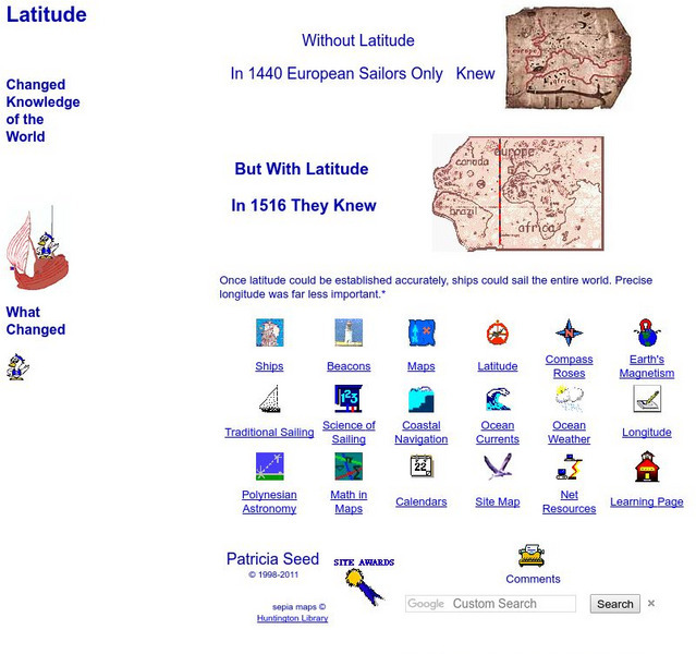
Rice: Latitude: The Art and Science of 15th Century Navigation
This is a great site to read about how navigation began in Europe and what tools were used. Make sure to read the segments on coastal navigation, maps, and ocean currents.


