Discovering Lewis & Clark
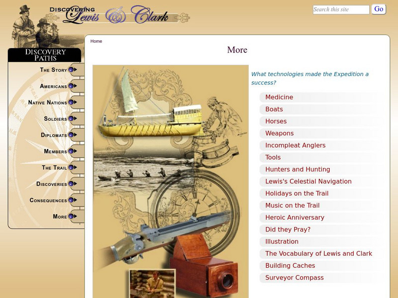
Discovering Lewis & Clark: Technology
Learn about the role of technology in the Lewis and Clark expedition.
Other
Rutgers: c.o.o.l. Class: Navigation and Ocean Currents
Take advantage of this C.o.o.l. project to learn about navigation and ocean currents! Click on each link in the left menu, and you will work through this project! Learn about C.O.R. ..Coastal Ocean Radar! Find out how the U.S. Coast...
NOAA
Noaa: National Ocean Service Education: Global Positioning Tutorial
Illustrated tutorial explains the history and science of geodesy. Animations help students visualize how scientists measure and monitor the size and shape of the Earth and the location of points on its surface.
Smithsonian Institution
Smithsonian Institution: Time and Navigation
Explore navigation methods by sea, air, and space, what latitude and longitude mean, how GPS works, about satellite navigation, and learn about professional navigators. Includes a timeline of developments in navigation from 1280 to the...
TeachEngineering
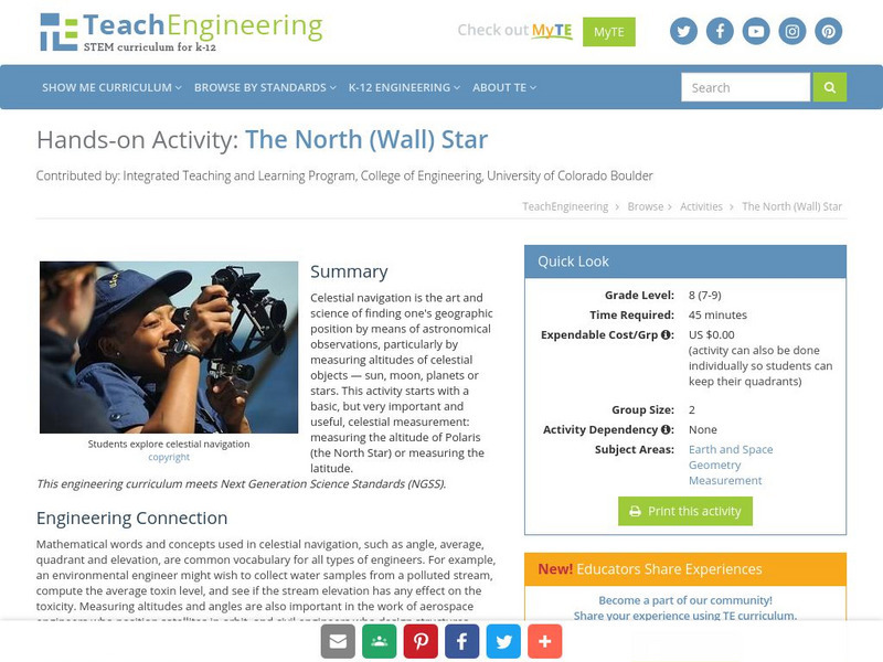
Teach Engineering: The North (Wall) Star
Celestial navigation is the art and science of finding one's geographic position by means of astronomical observations, particularly by measuring altitudes of celestial objects - sun, moon, planets or stars. This activity starts with a...
TeachEngineering
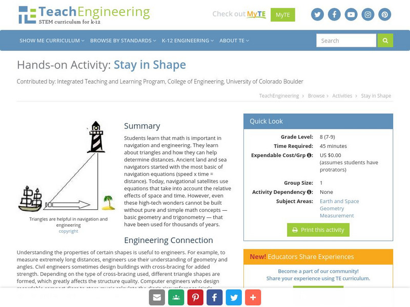
Teach Engineering: Stay in Shape
In this activity, students will learn that math is important in navigation and engineering. Ancient land and sea navigators started with the most basic of navigation equations (Speed x Time = Distance). Today, navigational satellites use...
TeachEngineering
Teach Engineering: Close Enough?
Accuracy of measurement in navigation depends very much on the situation. If a sailor's target is an island 200 km wide, sailing off center by 10 or 20 km is not a major problem. But, if the island were only 1 km wide, it would be missed...
TeachEngineering
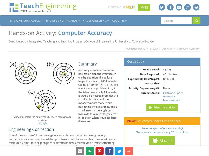
Teach Engineering: Computer Accuracy
Accuracy of measurement in navigation depends very much on the situation. If a sailor's target is an island 200 km wide, sailing off center by 10 or 20 km is not a major problem. But, if the island were only 1 km wide, it would be missed...
TeachEngineering
Teach Engineering: Classroom Triangles
In this activity, students will use bearing measurements to triangulate and determine objects' locations. Working in teams of two or three, students must put on their investigative hats as they take bearing measurements to specified...
TeachEngineering
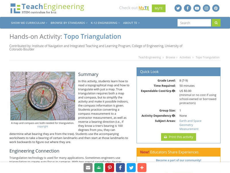
Teach Engineering: Topo Triangulation
In this activity, students will learn how to read a topographical map and how to triangulate with just a map. True triangulation requires both a map and compass, but to simplify the activity and make it possible indoors, the compass...
TeachEngineering
Teach Engineering: State Your Position
To navigate, you must know roughly where you stand relative to your designation, so you can head in the right direction. In locations where landmarks are not available to help navigate (in deserts, on seas), objects in the sky are the...
TeachEngineering
Teach Engineering: Plot Your Course Navigation
In this unit, students learn the very basics of navigation, including the different kinds of navigation and their purpose. The concepts of relative and absolute location, latitude, longitude and cardinal directions are discussed, as well...
Annenberg Foundation
Annenberg Learner: Renaissance: Exploration and Trade
Detailed introduction on exploration and trade during the Renaissance. Provides an overview of the tools created during the Middle Ages that made such travels by sea possible as well as insight into the types of goods traders sought in...
Other
Web Style Guide: Basic Design Principles
An online manual for Basic Design Principles for Creating Web Sites. Includes links to Philosophy, Interface Design, Site Design, Page Design, Web Graphics, and Web Multimedia and Animation chapters, with Appendices.
Smithsonian Institution
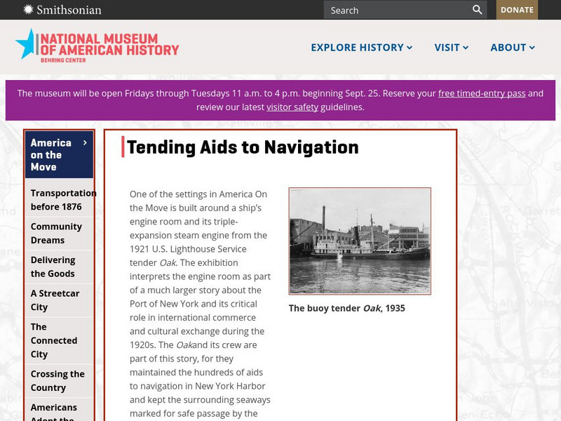
National Museum of American History: Tending Aids to Navigation
Who maintains our maritime infrastructure? Step back to the 1920s and meet some of the men and boats of the U.S. Lighthouse Service while learning about the hundreds of aids to navigation in New York Harbor.
Other
Boat Safe Kids
This is a delightful site about boats and boating. Lots of games plus a terrific overview of the history of navigation. Includes a visit to a reproduction of Columbus' Nina.
US Navy
Navigation
[Archived Content] Interactive site where students can learn about navigation techniques through various learning activities.
Other
Uss Constitution Museum: How to Be a Great Navigator!
In this lesson plan, 7th graders are shown how Great Navigators of the past stayed on course with the historical methods of navigation. The concepts of dead reckoning and celestial navigation are discussed. Using Vector Voyage students...
Massachusetts Institute of Technology
Mit: Open Course Ware: Courses: Modern Navigation
College-level planetary science course highlighting modern navigation. Course introduces the concepts and applications of navigation techniques using celestial bodies and satellite positioning systems (GPS). Course features include...
E-learning for Kids
E Learning for Kids: Science: Antarctica: What Is Position and Reference Point?
With all the snow and ice in Antarctica, it's easy to get lost. Help Tim find his way using a map and a compass.
E-learning for Kids
E Learning for Kids: Science: Antarctica: Penguins: What Is Motion?
What do you know about Emperor penguins? Ernie is researching them and their migration across the continent.
Social Studies for Kids
Social Studies for Kids: Latitude and Longitude
A collection of latitude and longitude mapping activities ranging from pin-pointing exact locations on the globe to researching the history behind this basic geography concept.
Other
Tonya Skinner: Web Page Evaluation Rubric
This is a good example of an evaluation rubric for a student created web page. Categories include content, page layout, graphics, navigation, design, information, and advanced features.
Other
Wpr: Designing for Multiple Browsers Without Being Bland
Information on Web design that addresses multiple browser design techniques. A great site for learning how to make an effective web page.


