Curated OER
Direction of River Flow
Students determine the direction the river flows. They use a US map with rivers listed, colored pencils and a compass or transparency with directions marked. Students use a color key to determine which direction the river is flowing...
Curated OER
Our Land Lesson 2: Song Mapping
Students study the meaning of philanthropy as giving of time. talent, and treasures. They sing This Land Is Your Land while locating five of the places on a map of the United States showing that relief office are everywhere. They decide...
Houghton Mifflin Harcourt
Holt, Rinehart and Winston: World Atlas: United States
Features a detailed map of the United States with some basic facts. Click on each state name to get even a more detailed map and information.
Houghton Mifflin Harcourt
Harcourt: School Publishers: World Atlas: The World
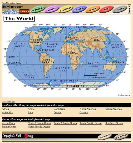
Provides continent, country, and ocean floor maps from all over the world. Click on a continent's name to access the detailed maps which also include statistical facts on each available country.
Other
National Atlas
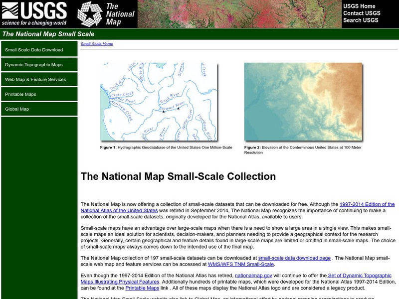
This site is excellent for mapping. You can create ANY kind of map you need. Select all kinds of layers: agriculture, biology, boundaries, climate, history, and more, and then select the geography. It does take some time to figure out...
A&E Television
History.com: The States
Learn unique facts about each American state. You can also read a more in-depth history of each state, watch videos and play a game about all the states.
Library of Congress
Loc: Maps of Cities and Towns
Looking for old maps of somewhere in the United States? Check out this huge collection of maps! Search by the name of a city or town, another keyword, subject, title, or geographic location.
Johns Hopkins University
John Hopkins University: Color Landform Atlas of the u.s.
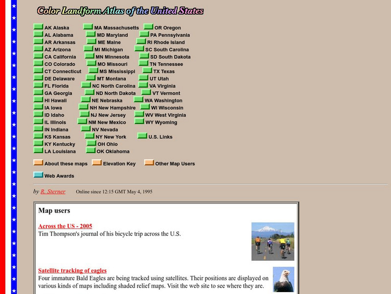
This site from John Hopkins University provides detailed maps of and physical information on each of the 50 states. Maps range from relief maps to satellite images, to historical maps.
Teacher Oz
Teacher Oz: 50 States of the u.s.a.
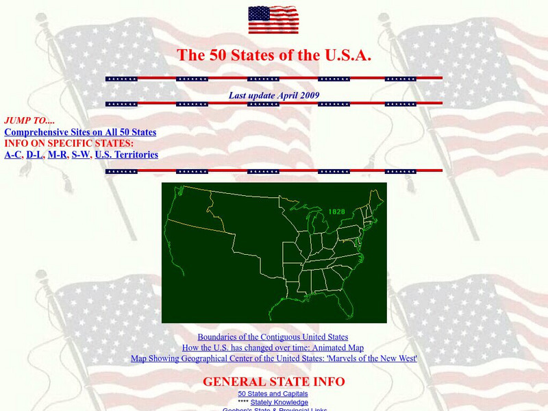
A site with information such as maps, flags and songs of each of the 50 states in the US.
Other
Civics Online: Map of the 13 Colonies
This colorful map depicts the original thirteen colonies as well as the rest of the eastern part of America, showing the owners of the land at that time.
University of Texas at Austin
Perry Castaneda Library Map Collection: u.s. Maps
At this site find any type of map on the U.S. and any of its states here. Great site for teachers to print out maps to use in the classroom.
US Government Publishing Office
Ben's Guide to u.s. Government: Place the States Game
Place the states in the correct place on this map of the United States.
Lizard Point Quizzes
Lizardpoint: The Usa Quiz
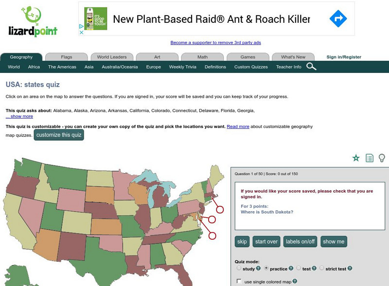
Test your ability to identify each state on a United States map. Answer the question to the left and see your results.
Other
Time Zones for P Cs
This site from Time Zones for PCs provides a colorful, interactive maps of the United States and the world. Click on one of the starred cities to find out what time it is there.
University of Georgia
University of Georgia: A Map of the u.s. Of North America (1783)
A large detailed map of newly formed United States upon the agreement on the Treaty of Paris of 1783, showing the agreed boundaries between the British and new United States lands.
Other
Quiz Hub: u.s. Map Game
Test your knowledge of United States geography by playing this U.S. map game. Game is timed.
University of California
Earthguide: Maps: Shaded Relief: United States [Pdf]
View a digital image of a colored shaded relief map of the United States.
Other
Gynzy: Snake: States and Capitals
Students learn the location of states and capitals in this learning game.


