Scholastic
Study Jams! Landforms
First-class photographs dazzle your class as they are acquainted with Earth's various landforms. To reinforce learning, they can take a multiple-choice quiz, sing along to a karaoke song, or review key vocabulary terms, all on this...
DiscoverE
Build a Cable-Stayed Bridge
Large or small, bridges are architectural wonders! Construct a large-scale cable-stayed bridge during a whole class project. Scholars work in groups to erect the towers, build the roadway, and secure the cables of their very own bridges....
CK-12 Foundation
Topographic and Geologic Maps: Topographic Maps
Maps are great for helping you get where you're going, but what does that place actually look like? Geology scholars compare and contrast the features of topographical and geologic maps using an interactive lesson. The resource describes...
K5 Learning
Landforms
Valleys, mountains, and plateaus are just a few geographic landforms on our Earth. Read about these types and more in a brief landform passage. After reading, learners respond to six short answer comprehension questions.
Mr. E. Science
Erosion and Deposition
Get an in-depth look into erosion and deposition with a 23-slide presentation that details how gravity, water, waves, wind, and glaciers cause changes to the Earth's surface. Each slide consists of detailed images equipped with labels,...
Curated OER
Geographic Landforms
Each slide is a simple notebook page with one landform in blue and its definition in red. There are 26 vocabulary terms in all, some you may want to use, and others easily hidden. It is recommended that you add photos or other graphic...
Curated OER
Tracing Highs and Lows in San Francisco
On a topographic map, students identify the scale bar, north arrow, and contour interval. They then locate a hill on the map and make note of the contour lines. Students then locate other places with similar contour line patterns....
Curated OER
From Maps to Models
Students explore watersheds through the use of a topographic map. They observe topographical maps and discuss their characteristics. In groups, students create a model clay island and make a topographical map of it. Afterward, groups...
Curated OER
Glaciers
In this glaciers worksheet, students complete 12 different questions related to glaciers. First, they complete the 2 tables that illustrate the similarities and differences between continental and valley glaciers. Then, students identify...
Curated OER
Montana
In this Montana worksheet, students respond to 7 questions that are related to the state of Montana. First, they identify and name the state's capital and when it became a state. Then, students identify and name the state's motto, bird,...
Curated OER
Erosion
For this earth science worksheet, students describe the course of the river from its source to the mouth, including shapes of the valleys and erosion processes in each course. Then they identify possible types of erosion that would have...
Curated OER
Landform Tag
Third graders explore various landforms. They play landform tag while exploring the various types of landforms that are found within the United States. Students locate landforms as they are called by the teacher.
Alabama Learning Exchange
Forces that Change the Land
Students conduct Internet research find information about the following landforms: mountains, canyons, and valleys. They create travel brochures of their findings.
Curated OER
Landscape Picture Map: Natural Features
Students discover six landscapes. In this natural features lesson, students review the meaning and examples of natural features. Students use a landscape picture map to identify six natural features.
Curated OER
The Geography of American Communities
Young scholars, in groups, describe the geography of Los Angeles using information from local places and street names.
Curated OER
Geology of Waipi'o Valley
Students predict how the Big Island and Waipi'o Valley formed and write an essay that includes their predictions. They research online to find the real way it formed and experiment with sand to show how a stream develops.
Curated OER
National Park Service: Varying Valleys
The NPS offers a good description of the three main types of valleys, lesson objectives, and modeling activities.
Other
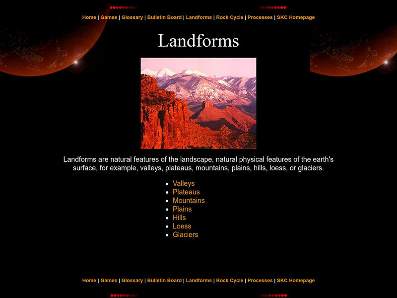
Landforms
The education department of Prince Edward Island has a great page with information pertaining to landforms. Starting with a definition, it then moves to the specific types like valleys, mountains, plateaus, etc.
InterKnowledge Corp.
Geographica.com: Adventure in Argentina
This site from Geographica.com contains information on a variety of parks in Argentina. A description of each follows the name of the park.
Science Struck
Science Struck: Types of Landforms
Describes different landform types and their features. includes many good quality photographs.
Center for Educational Technologies
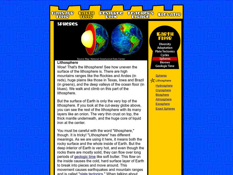
Nasa: Classroom of the Future: Spheres: Lithosphere
At this site from the NASA Classroom of the Future, you can learn about the many different layers of the earth and see what the earth would look like cut in half.
Other
Southern Kings Consolidated School: Valleys
Beautiful images with a description of what a valley is and how it is formed.
Math Science Nucleus
Math/science Nucleus: Observing Different Landforms
Lesson plan with subsequent pages to use with the instructional activity. Images with landform word match up and additional work on earth modeling.
Alabama Learning Exchange
Alex: Forces That Change the Land
Young scholars will use websites and other resources to find information about the following landforms: mountains, canyons, and valleys.


