Other
University of Wisconsin Green Bay: Faults and Earthquakes
This site is primarily set up as an outline and is loaded with graphs, maps, and images. It covers a variety of earthquake-related topics, such as what causes earthquakes, fault lines and structures, seismology, a historical look at...
Science Struck
Science Struck: The Divergent Plate Boundary Explained With a Diagram
Explains what tectonic plates are, what a divergent plate boundary is and some facts about them, and gives examples of divergent plate boundaries.
Science Struck
Science Struck: Transform Boundary: Definition and Useful Examples
Explains what a transform boundary is and gives examples of well-known faults of this type.
Center for Educational Technologies
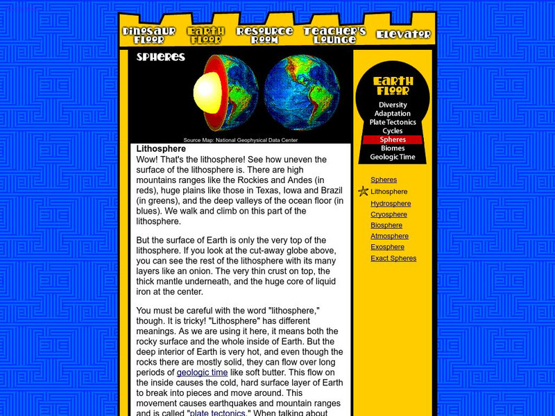
Nasa: Classroom of the Future: Spheres: Lithosphere
At this site from the NASA Classroom of the Future, you can learn about the many different layers of the earth and see what the earth would look like cut in half.
American Geosciences Institute
American Geosciences Institute: Earth Science Week: Mapping Quake Risk
Students use GIS to observe worldwide patterns of earthquakes and volcanoes and analyze the relationships of those patterns to tectonic plate boundaries. Then they identify cities at risk.
Science Struck
Science Struck: Theory of Plate Tectonics
A detailed discussion of plate tectonics. Looks at continental drift, types of tectonic plates and plate boundaries, and primary and secondary tectonic plates.
Incorporated Research Institutions for Seismology
Iris: World: Tectonic Plates
Interactive map of tectonic plates from the US Geological Survey plate tectonic map reveals the plate names when you scroll over the plate.
Incorporated Research Institutions for Seismology
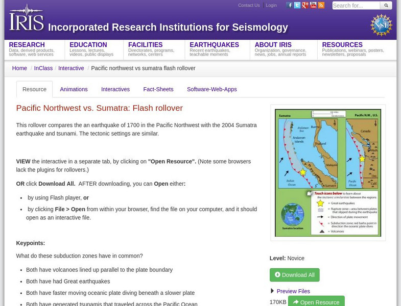
Iris: Pacific Northwest vs. Sumatra: Flash Rollover
This rollover compares the earthquake of 1700 in the Pacific Northwest with the 2004 Sumatra earthquake and tsunami.
Incorporated Research Institutions for Seismology
Iris: Long Valley Caldera
Long Valley Caldera area has had a history of eruptions and earthquake swarms. Learn more with this interactive map that reveals geology, eruptions, earthquakes, and more.
Incorporated Research Institutions for Seismology
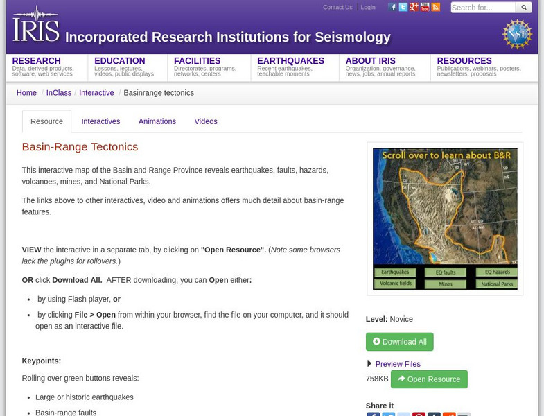
Iris: Basin Range Tectonics
This interactive map of the Basin and Range Province reveals earthquakes, faults, hazards, volcanoes, mines, and National Parks.
Weather Wiz Kids
Weather Wiz Kids: Volcanos
Great resource for learning all about tornadoes. Find out how they are formed, how they erupt, the different types, and notable volcanic eruptions. Also includes safety tips, animations, and activities.
Curated OER
National Park Service: What on Earth Is Plate Tectonics?
An easy-to-understand explanation of what plate tectonics is. Contains information about the inner parts of the Earth, the difference between the three types of plates, and numerous maps and illustrations.
Woods Hole Oceanographic Institution
Expeditions to the Sea Floor: Plate Tectonics
Interactive site provides information on the Breakup of Pangea, plate boundaries, plate movements as well as a quiz.
US Geological Survey
Usgs: Plate Tectonics, Hot Spots, and Ring of Fire: World Map
A world map featuring active volcanoes, plate tectonics, hot spots, and ring of fire.
Other
Usra: Lunar and Planetary Institute: Hot Spot Activity [Pdf]
In this lesson, students will measure the distances between Hawaiian islands, and convert and graph their data to determine the speed of the Pacific Plate.
US Geological Survey
U.s. Geological Survey: What Causes Earthquakes?
USGS provides the definition of a fault, the basics of earthquakes, the theory of plate tectonics, location of plates and earthquakes, and embedded links to related material.
CK-12 Foundation
Ck 12: Plix: Map for Earth's Tectonic Plates: Earth's Tectonic Plates
[Free Registration/Login Required] Understand what is happening at the plate boundaries with this interactive map of Earth's tectonic plates. This page slso includes a short quiz over plate tectonics.
CK-12 Foundation
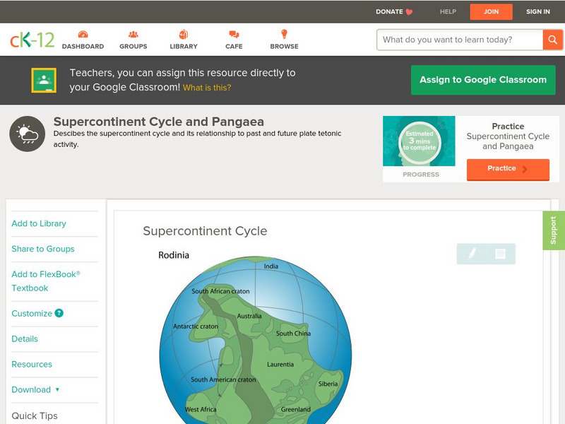
Ck 12: Earth Science: Supercontinent Cycle
[Free Registration/Login may be required to access all resource tools.] The history of plate tectonics past and future.
CK-12 Foundation
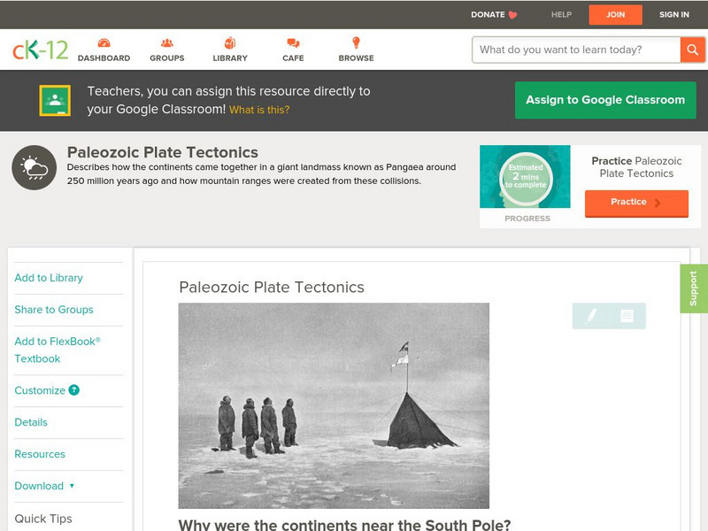
Ck 12: Earth Science: Paleozoic Plate Tectonics
How plate tectonics formed Pangaea. [Free Registration/Login may be required to access all resource tools.]
CK-12 Foundation
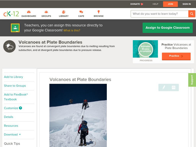
Ck 12: Earth Science: Volcanoes at Plate Boundaries
[Free Registration/Login may be required to access all resource tools.] Volcanoes most often occur at plate boundaries.
CK-12 Foundation
Ck 12: Earth Science: Tectonic Plate Motions
Earth's tectonic plates and how they move. [Free Registration/Login may be required to access all resource tools.]
CK-12 Foundation
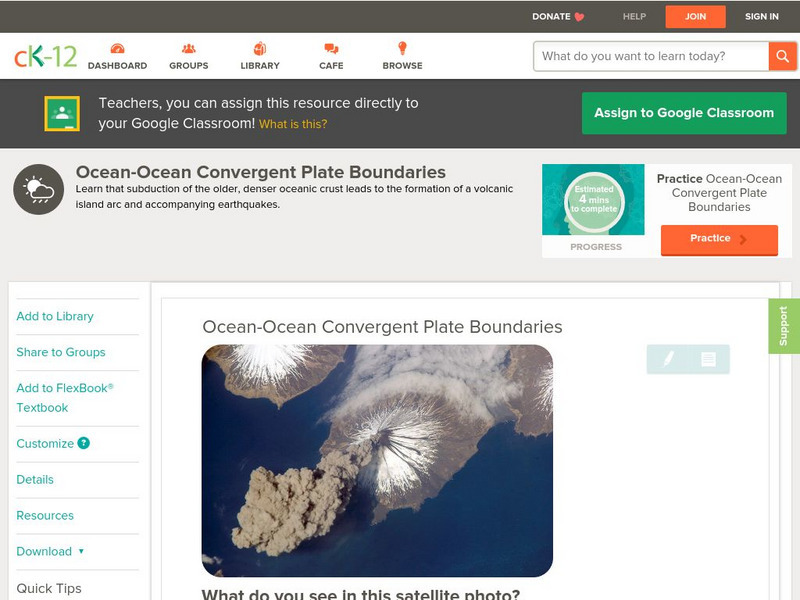
Ck 12: Earth Science: Ocean Ocean Convergent Plate Boundaries
[Free Registration/Login may be required to access all resource tools.] Covers convergent plate boundaries and oceanic plate subduction.
CK-12 Foundation
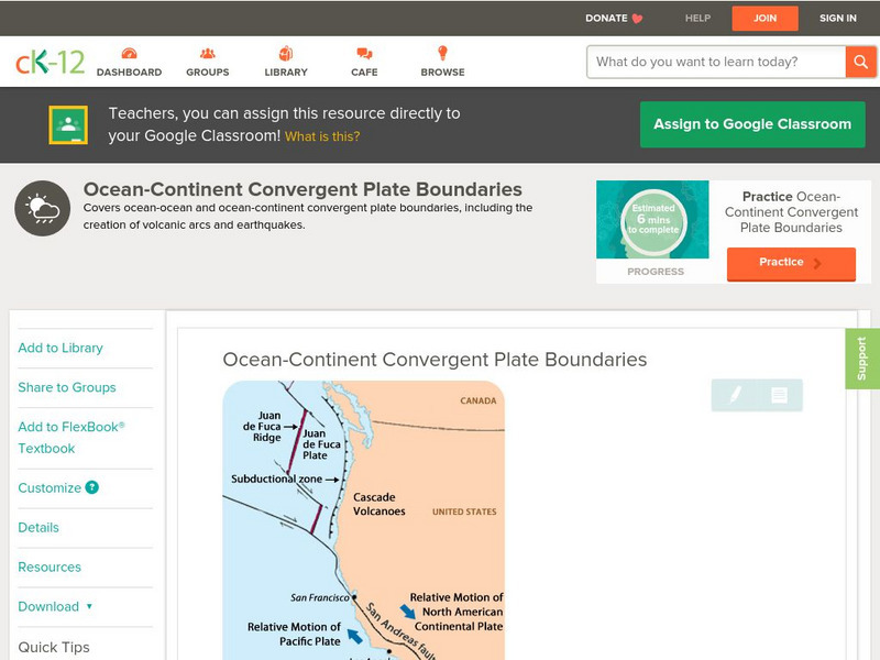
Ck 12: Earth Science: Ocean Continent Convergent Plate Boundaries
[Free Registration/Login may be required to access all resource tools.] Covers convergent plate boundaries where an oceanic plate meets a continental plate.
CK-12 Foundation
Ck 12: Earth Science: Mountain Building
[Free Registration/Login may be required to access all resource tools.] How mountains are formed as a result of plate tectonic processes.


