It's About Time
Volcanic Landforms
Did you know the word volcano comes from the name of the Roman god of fire, Vulcan? During this activity, scholars make a topographic map, interpret topographic maps, and infer how lava will flow based on their analysis.
Curated OER
Volcanoes: Sixth Grade Lesson Plans and Activities
Bring a set of pre-lab, lab, and post-lab lesson plans on volcanoes to your earth science unit. Sixth graders explore the three types of volcanoes found on Earth, plot the specific locations of these volcanoes on a map, and...
Curated OER
Plate Tectonics: Sixth Grade Lesson Plans and Activities
Here is a set of pre-lab, lab, and post-lab lesson plans on plate tectonics. After completing the previous labs on volcanoes and earthquakes, sixth graders use the gained knowledge to explore plate boundaries and the movement of...
Curated OER
Map Skills
Students create two types of maps. In this map skills lesson, students discuss map vocabulary and view maps of Florida. Students draw a free hand map of Florida and include major cities, bodies of water and land forms. ...
Curated OER
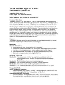
The Gift of the Nile: Egypt and its River
Learners begin with a piece of a puzzle that shows an artifact from ancient Egypt. They find others who have pieces that go with their puzzle piece. Students work in these groups to construct a relief map of the Nile River Valley.
Curated OER
The Bread of the Sandwich
Students create relief maps of Canada and Mexico out of everyday objects like dried macaroni, dry rice, sand, etc. They create a clue card for a location game and try to stump their classmates. They host a travel fair to display their...
Curated OER
Rivers Run Through It
In this mapping practice activity, 5th graders read an informational paragraph and answer 7 questions about the parts of a map along with places shown on a given map.
Other
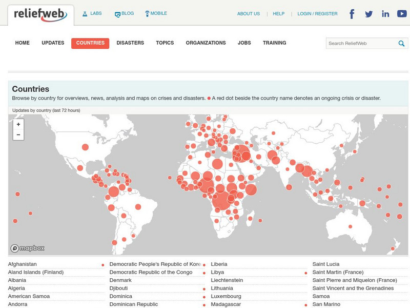
Relief Web: Countries
This resource provides information on countries throughout the world, current news, and different types of maps.
Other
Discover Canada Through National Maps and Facts: Relief
Links to all of Canada's provinces and territories relief maps. Maps can be viewed as a picture or as a .pdf file. Be sure to check out the links to lesson plans as well as the many other types of maps.
Other
Bscs: Earth's Changing Surface Lesson 2: Landform Detectives
Using relief maps, students will learn that landforms can be different from one place to another. Included are a minute-by-minute lesson plan, activities, and teacher discussion points and questions.
Other
Bscs: Earth's Changing Surface Lesson 3: Grand Canyon Explorers
Students will learn that landforms can change over time in this lesson. Included are a minute-by-minute lesson plan, activities, and teacher discussion points and questions.
NASA
Nasa: World Map Puzzle
This site from the National Aeornautics and Space Administration provides an interesting activity with a relief map and its correlation with space. "Wouldn't it be fun to make your own miniature world, complete with mountains, valleys,...


