PBS
Coastline Change
Continental drift happens over millions of years, but new perspective shows much faster changes. An informative resource offers a short term perspective using a series of satellite images. Viewers observe major changes to a coastline in...
Florida International University
Pipeline to the Coral Reefs
Discover firsthand the effects of internal waves on coral reefs. Through a series of experiments, learners simulate internal waves and upwelling events as they make observations on the movement of water and other debris. They then...
NOAA
Coastal Dynamics
Life's a beach! The 16th installment of a 23-part NOAA Enrichment in Marine sciences and Oceanography (NEMO) program first examines different types of coasts and how they form. An activity then has learners investigate the shoreline...
K12 Reader
Water Carves the Land
What affect do bodies of water have on the world around us? Kids can find out by reading this passage. After reading, they answer five questions related to the text.
National Wildlife Federation
Habitat Web
Young scientists weave together an understanding of ecosystems with this fun collaborative activity. Taking on the roles of different living and non-living elements of specific habitats, learners use a ball of yarn to create...
Curated OER
Geographic Landforms
Each slide is a simple notebook page with one landform in blue and its definition in red. There are 26 vocabulary terms in all, some you may want to use, and others easily hidden. It is recommended that you add photos or other graphic...
Curated OER
Marine Life Protected Areas in the O.C.
Young scholars research a Marine Protected Area and determine the species' that benefit from its protection. In this marine lesson students present their findings to the class using PowerPoint.
Curated OER
Biomes: Coastlines and Seas
Students study the different types of coastlines and their territories. In this marine coasts instructional activity students identify life forms that are in the coastal regions.
Curated OER
Land and Sea Breezes
In this specific heat instructional activity, students read about the land and sea breezes along the coast and how the specific heat of the air cause the differences in land and sea air creating breezes. Students answer three critical...
Curated OER
Quarters from the Coast
Learners discuss Fifty State Quarters Program, compare and contrast location of land and water on map of United States, while also becoming aware of physical shape of nation and home state, and explore coastal areas in United States.
Curated OER
Coastal Landforms
Students explore landforms. Using the internet, students research the main landforms. They define landforms and download images into a word document. Students create their own picture-dictionary.
Curated OER
Stranded along the Coast
Students plot stranding sites onto a map using latitude and longitude as well as compass directions with respect to coastal features. They identify several species of marine animals that might become stranded; distinguish their...
Curated OER
Quarters from the Coast
Students examine the Maine state quarter and discuss the features on the quarter that identify Maine as a coastal state. They identify coastal states and inland states on a map.
Other
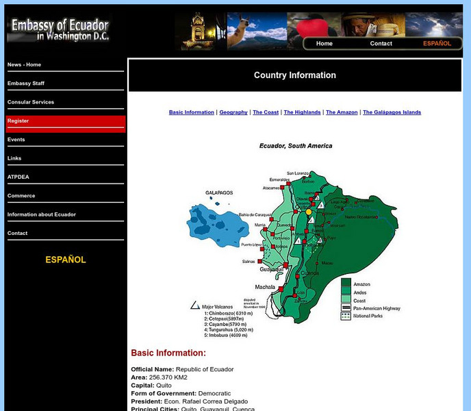
Embassy of Ecuador in Washington, Dc: Country Information
Good resource for country specific information on the geography of Ecuador from the Embassy of Ecuador. Covers the Coast, the Highlands, the Amazon, and the Galapagos Islands.


