Science Education Resource Center at Carleton College
Serc: Geologic History Field Investigation Minnehaha Falls
An inquiry-based geology field investigation where students investigate sedimentary geology, stream processes, topography, rock layers, and land surface features as well as study past changes in the depositional environment in the area.
Science Education Resource Center at Carleton College
Serc: Writing to Support the Theory of Plate Tectonics
This lesson helps students use images that depict earthquakes, seafloor ages, topography, and volcanoes, and then make a scientific argument supporting the Theory of Plate Tectonics.
Science Education Resource Center at Carleton College
Serc: Choosing the Best Contours
Using GeoMapApp's interactive elevation base map, experiment to find the best contours for sensibly displaying topography in different landscape regions. Young scholars use contours in different landscape regions to find contour...
Science Education Resource Center at Carleton College
Serc: Visualizing Topography
This module helps students learn to identify terrain features on topographic maps. Students manipulate animations of hills, valleys, and cliffs to see the terrain from various angles. The module also provides instruction on how to read...
Science Education Resource Center at Carleton College
Serc: Map and Compass Lab
Science Scope article presents an activity on topography and land masses that helps students learn about scientific inquiry. Students also practice making and interpreting scale drawings and learning about computation, estimation and new...
Science Education Resource Center at Carleton College
Serc: Adventures in Virtual Reality
In this activity, learners look at the topography and cross-section of El Paso Texas and Edwards Aquifer in virtual reality, using historical data of the Edwards Aquifer that contains information on recharge, discharge and precipitation....
Science Education Resource Center at Carleton College
Serc: Discovering Plate Boundaries
A data rich exercise built around four global data maps to help students discover the processes that occur at plate tectonic boundaries. The lesson is based on the jigsaw concept, mixing the students to work in different groups during...
Other
Jules Verne Voyager: Earth
A map resource that allows users to view many different features of the topography, textures, and geodetic data on selections in the drop down menus.
Other
Jules Verne Voyager Jr.: Earth
A map program allows users to explore the many features of Earth. Select base maps, features, and velocities.
Texas A&M University
Ocean World: Satellite Oceanography
What does a satellite in space have to do with the oceans? Discover the answer to this question as well as uncover some interesting facts about satellites at this site.
Geography 4 kids
Geography4 kids.com: Makin' the Soil
List the five most important things to know about how soil is formed.
National Association of Geoscience Teachers
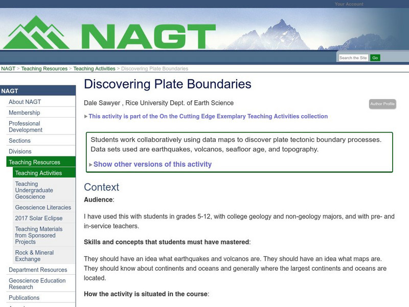
Nagt: Discovering Plate Boundaries
Students work collaboratively using data maps to discover plate tectonic boundary processes. Data sets used are earthquakes, volcanoes, seafloor age, and topography.
Science Education Resource Center at Carleton College
Serc: Sandbox Modeling
Students create landforms using layers of colored sand, then construct a topographic map and a cross-section. This is an investigation that was presented to pre-service science teachers. The format would be similar with students, with...
NASA
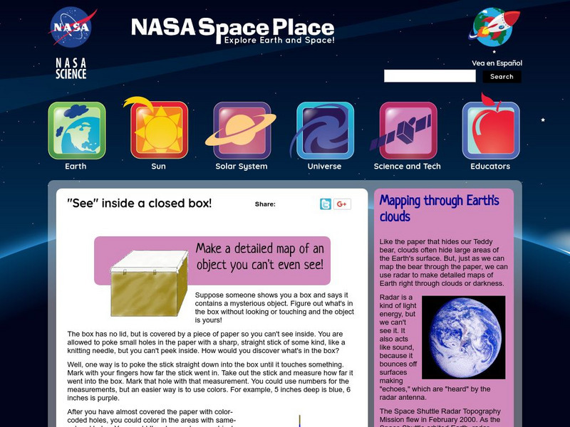
Nasa: Probing Earth Through the Clouds
This site from the National Aeornautics and Space Administration provides a fun activity for the subject. "Clouds often hide large areas of the Earth's surface. We can use radar to make detailed maps of Earth right through clouds or...
CK-12 Foundation
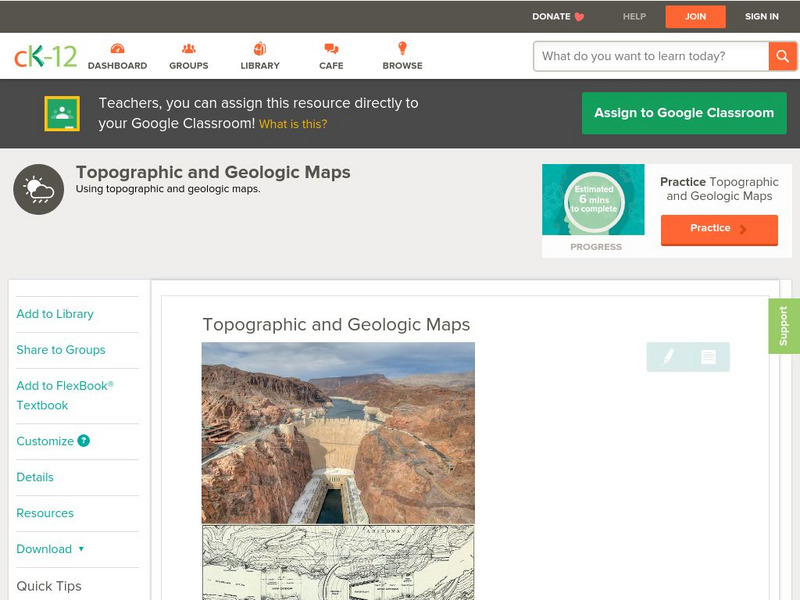
Ck 12: Earth Science: Topographic and Geologic Maps
[Free Registration/Login may be required to access all resource tools.] How to use topographic and geologic maps.
Other
Usgs: The National Map: Us Topographical Map
Use this map to explore the topography of the United States.
CK-12 Foundation
Ck 12: Earth Science: Elevation on the Earth
[Free Registration/Login may be required to access all resource tools.] Using latitude and longitude to find a location.
NASA
Nasa: Space Place: Make a Topographic Map
Find out what topographic maps are and how to make them. The instructions are complete with pictures to help you construct a mountain of clay and and a corresponding topographic map.
Enchanted Learning
Enchanted Learning: Topographic Map Activity
An activity to practice interpreting contours.
Incorporated Research Institutions for Seismology
Iris: Watch Earthquakes as They Occur
This fact sheet provides an introduction to an interactive display of global seismicity that allows users to monitor earthquakes in near real-time, view records of ground motion, learn about earthquakes, and visit seismic stations around...
Other
Unavco: Earth Scope
This interactive map program illustrates global-scale geodynamic processes of Earth. View and add base maps, features and velocities which can be selected in the drop down menus.
CK-12 Foundation
Ck 12: Fourth Grade Science: Earth Science: Introduction to Earth's Surface
[Free Registration/Login may be required to access all resource tools.] Explains how to find a location and direction on Earth's surface. Discusses topography and various landforms and how they form.
Other
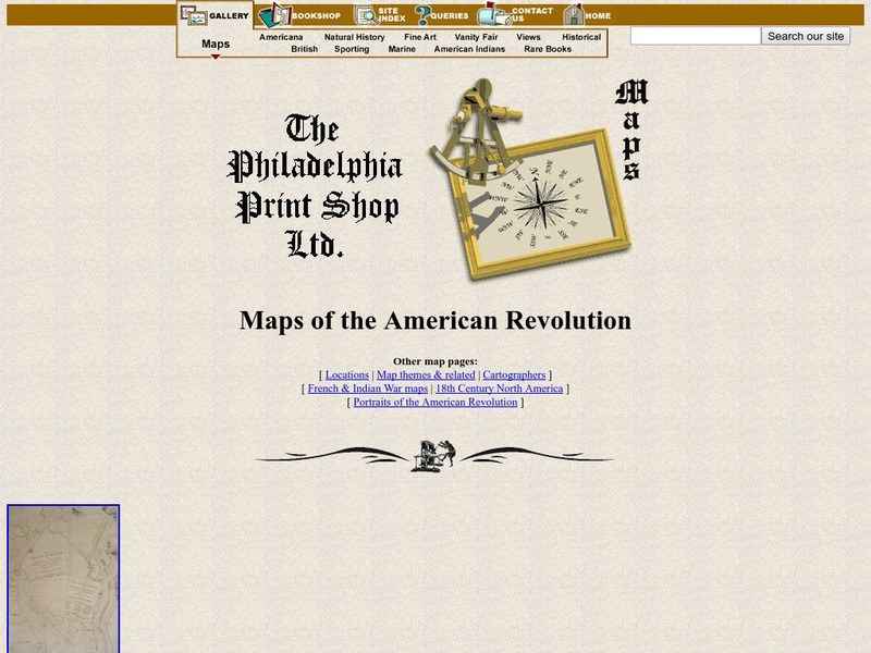
Maps of the American Revolution
Although this is a "selling" site, it is a good resource that not only supplies images of maps of the times, but provides the background to the map - when it was published, what was going on at the time, etc.
American Geosciences Institute
American Geosciences Institute: Earth Science Week: Predict the Flow
Using a common modeling compound, students form a "volcano" and examine its topography to predict which way lava will flow down its slopes.


