Alabama Learning Exchange
Alex: Topography of Fruit
This is an attempt to help students understand contour lines in map-making through the vector of digital photography. This hands-on activity will create an art piece out of fruit that will be analyzed to create topographic maps.
Math Science Nucleus
Math Science Nucleus: Topographic Maps
For a picture of a topographical map, go to this page. There is some information to help you understand what they are.
Other
Malin Space Science Systems: Movements on Venus [Pdf]
This site is provided for by the Malin Space Science Systems. Reprint of an article from the "Journal of Geophysical Research", a publication of the American Geophysical Union. Very detailed analysis of Magellan images. Includes...
NOAA
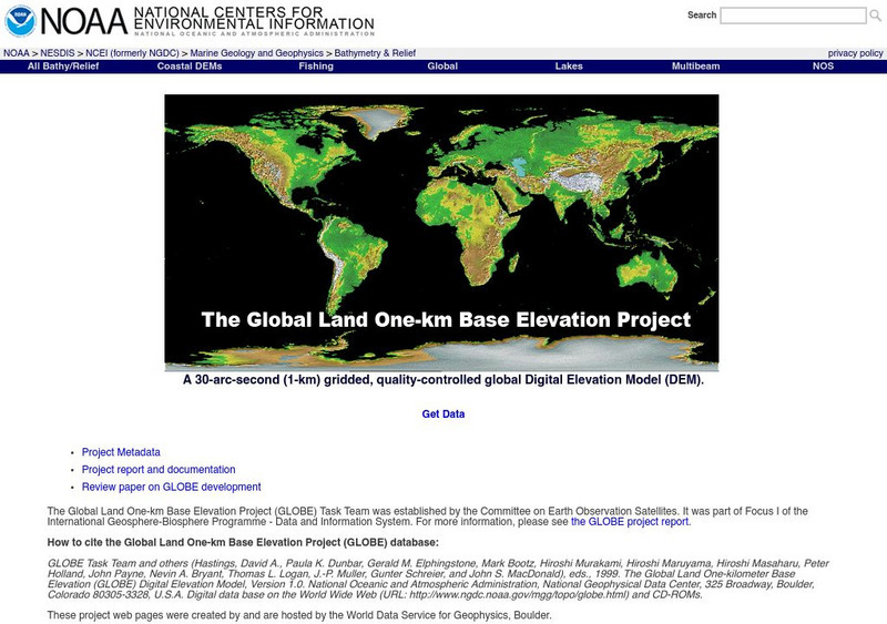
Noaa: Ngdc: Globe Project
Explore some topographic data at the Globe site. What environmental measurements are taken in the study? How are these measurements presented?
Ducksters
Ducksters: Earth Science for Kids: Topography
Kids learn about the Earth science subject of topography including features such as landforms, elevation, latitude, longitude, and topographical maps.


![Malin Space Science Systems: Movements on Venus [Pdf] Article Malin Space Science Systems: Movements on Venus [Pdf] Article](https://d15y2dacu3jp90.cloudfront.net/images/attachment_defaults/resource/large/FPO-knovation.png)

