Curated OER
Reading A Weather Map
Ninth graders construct a weather map. In this meteorology lesson, 9th graders construct a weather map using contour lines and temperature.
Curated OER
Weather Terms
In these weather terms worksheets, 2nd graders read the sentences about the weather and match them with the pictures. Students complete a weather word search and then write what the weather is like for the week using the weekly weather map.
Curated OER
Graphin' And Glyphin' Utah Weather
Fourth graders investigate the concepts of looking at sets of data. The focus of the study is upon the local weather of Utah. They study the weather found in the city and in the country and make comparisons based upon geographical location.
Curated OER
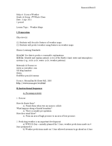
Weather Maps
Students explain the collection of weather data as presented in different formats. They use appropriate terminology related to weather maps and use the Internet to capture weather data from a city of choice and present a TV style weather...
American Geosciences Institute
American Geosciences Institute: Climate and Weather
Eight hands-on lessons module in which students explore climate and weather. Inquiry-based investigations include observing weather, weather reporting, weather maps, weather satellites, causes of weather, and climate change.
Other
Bureau of Meteorology: The Weather Map
Explains what a weather map is and how it is prepared. Describes what weather maps show, typical weather patterns in Australia, the use of weather charts, temperature, and wind speed.
Other
California Regional Weather Server: Jet Stream Analyses and Forecasts
California Regional Weather Service provides the latest jet stream analyses and forecasts for the Northern Hemisphere, Eastern Pacific & Western North America, North America, North Atlantic, and the Southern Hemisphere.
National Weather Service
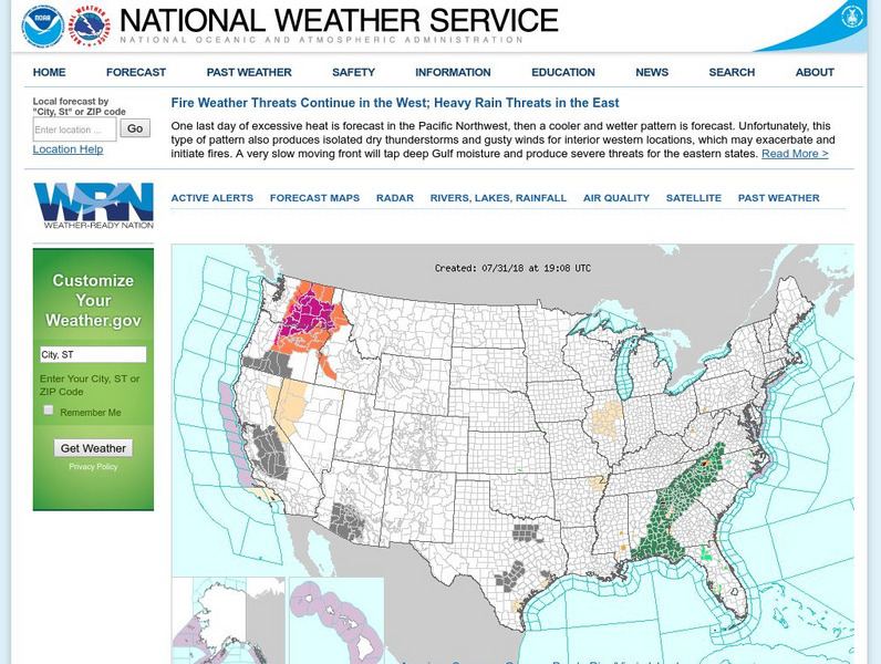
National Weather Service
Official United States Weather Bureau source for weather maps and forecasts. Contains forecasts, maps, warnings, data, current conditions, and storm warnings.
National Geographic
National Geographic: Create a Weather Map
Students will learn about symbols that are used to represent weather and then use the day's weather to create a weather map for their state. Includes handouts and website links, as well as links to downloadable coloring books full of...
BBC
Bbc: Weather: Search
Find information about current weather conditions anywhere in the world by entering the city and country. The site breaks down the information into specific areas and regions, which makes it convenient to search through.
National Weather Service
National Weather Service: Precipitation Analysis
This interactive map of the US is color coded to show the quantity of rain received throughout the country. Selections can be made to focus on certain areas and certain time frames.
NOAA
Noaa: National Weather Service: Weather Prediction Center
Ongoing information updates on weather conditions and forecasts in the United States, displayed on animated maps.
NASA
Nasa Earth Observatory: Global Maps: Land Surface Temperature
View a global map from NASA's Earth Observatory that shows land surface temperature from February 2000 to November 2008. Learn how land surface temperature is measured and monitored.
Other
Honolulu Hi 5: Cool Maps With Awesome Weather Data Across 1,219 Us Cities
Explore the weather in states and cities across the United States. Two maps with accompanying graphs are provided. The first indicates the number of comfortably warm summer days a place has and the second shows the temperature and how...
University of Wisconsin
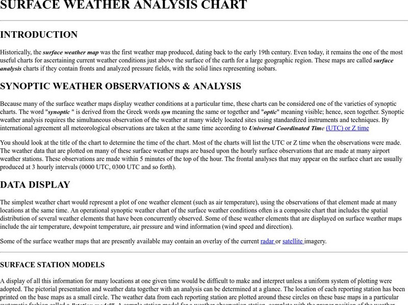
Atmospheric and Oceanic Sciences: Surface Weather Analysis
Explains the use of synoptic weather analysis in preparing weather maps and forecasting. Discusses the use of symbols as well.
Other
Radley College Geography Department: Latest Weather
Many weather maps including world satellite images, jet streams, tropical storm trackers, temperatures and many more.
NOAA
Noaa: Cpc: Hazards Assessment Brief
This Hazards Assessment from the Climate Prediction Center is intended to provide emergency managers, planners, forecasters and the public advance notice of potential hazards related to climate, weather and hydrological events. Check out...
National Weather Service
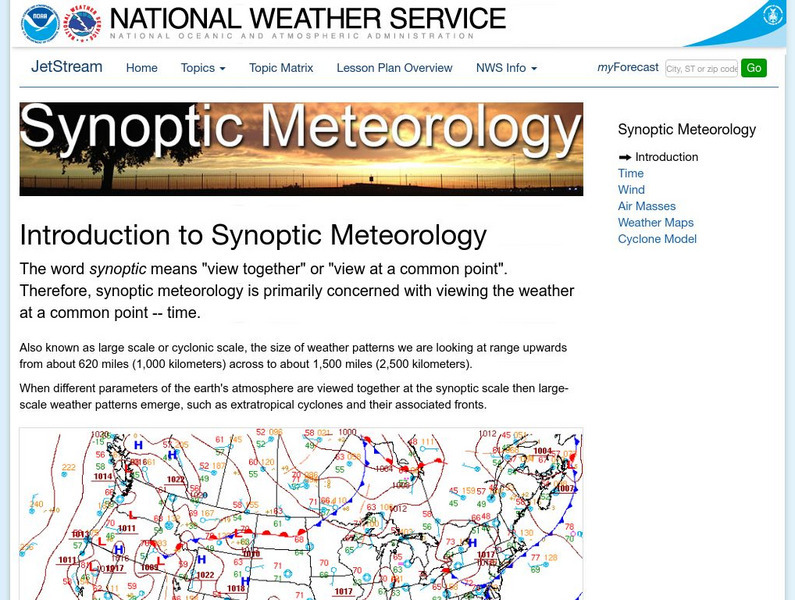
National Weather Service: Jetsream: Synoptic Meteorology
The National Weather Service presents this site on synoptic meteorology, large-scale weather systems. Learn about the structure and behavior of the atmosphere, including clouds, precipitation, winds and more. Also includes learning...
CK-12 Foundation
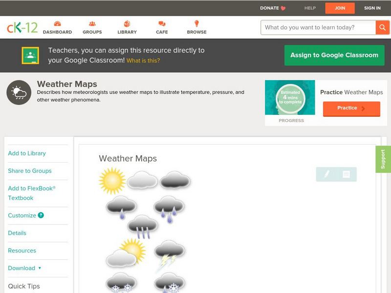
Ck 12: Earth Science: Weather Maps
[Free Registration/Login may be required to access all resource tools.] How meteorologists create and read weather maps.
CK-12 Foundation
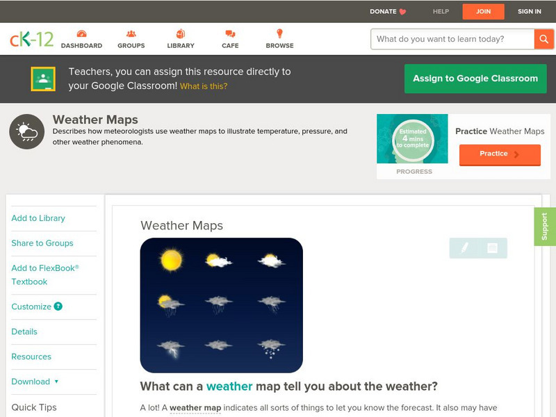
Ck 12: Earth Science: Weather Maps
[Free Registration/Login may be required to access all resource tools.] How meteorologists create and read weather maps.
Other
The Weather Company: The Weather Underground
Source of weather maps, forecasts, images, and data for the world. Maps include temperature, radar, visibility, wind, heat index, wind chill, humidity, and dew point.
TeachEngineering
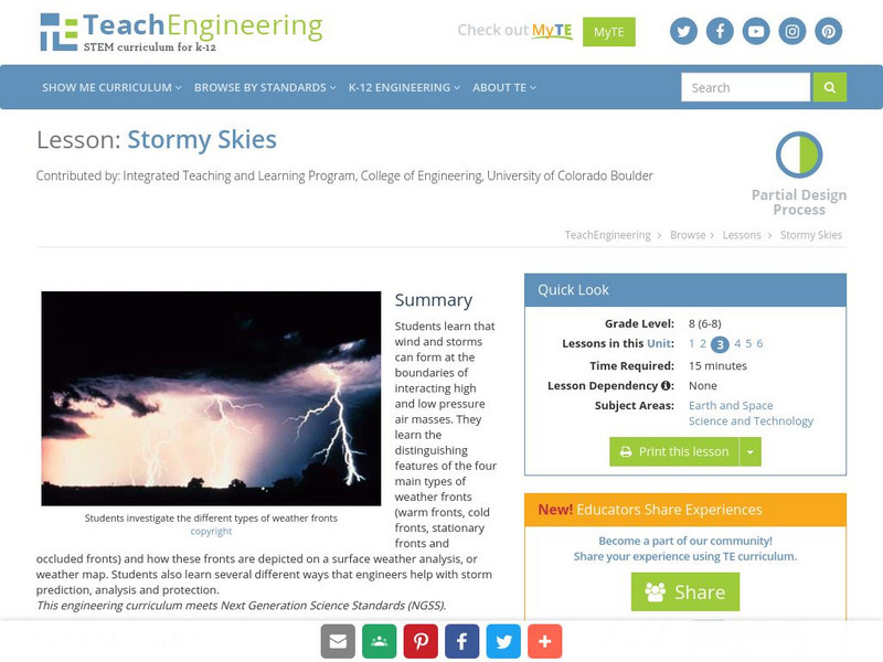
Teach Engineering: Stormy Skies
Students learn that wind and storms can form at the boundaries of interacting high and low pressure air masses. They learn the distinguishing features of the four main types of weather fronts (warm fronts, cold fronts, stationary fronts...
CK-12 Foundation
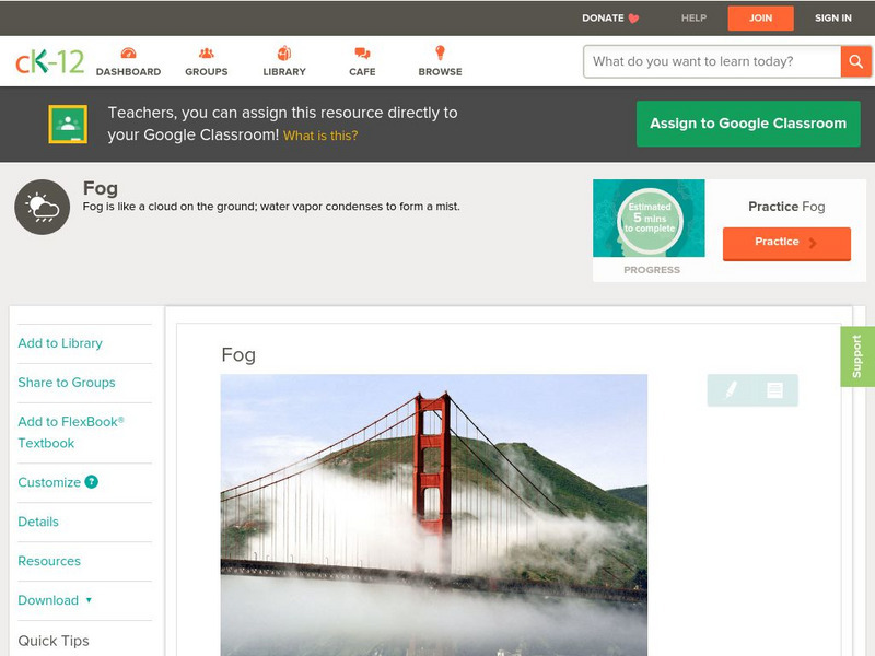
Ck 12: Earth Science: Fog
[Free Registration/Login may be required to access all resource tools.] Describes fog.
Science Struck
Science Struck: A List of All Weather Symbols and Their Meanings
Provides a comprehensive list of weather symbols used on weather maps.


