International Technology Education Association
Become a Weather Wizard
Accurate weather forecasting is something we take for granted today, making it easy to forget how complex it can be to predict the weather. Learn more about the terms and symbols used to forecast the weather with an earth science lesson...
Do2Learn
Days and Weather Picture Cards
Weather happens everyday. Print these color weather cards onto card stock, laminate them, and use them in a daily weather forecasting routine that practices calendar skills and daily weather identification.
Curated OER
Reading a Local and National Weather Map
Students investigate weather maps. In this weather lesson, students discover the meaning of different weather icons and symbols. Working independently, students use the local forecast to correctly label a state map.
Curated OER
Weather Symbols
In this weather symbols worksheet, students create and draw their own symbols for sunny, snowy, windy and stormy weather.
Curated OER
Different Weather
In this weather picture worksheet, students study 4 pictures in a box; three are identical weather symbols and one is different. Students draw an X on the picture that does not belong. There are 4 boxes on the page.
Curated OER
Meteorologist for the Day
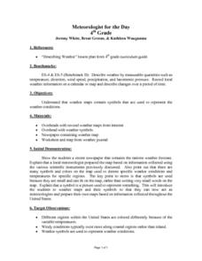
Fourth graders examine the symbols used on weather maps. They analyze a newspaper weather forecast and identify and discuss the various symbols used on the map. Next, they prepare a weather map for their own city using the symbols...
Curated OER
Weather Predictions
Students play the role of weather personalities by making five day forecasts based on data gathered from observations, weather instruments, and weather maps. Each day a small group makes a class forecast for the next day and reviews the...
Curated OER
Weather Symbols
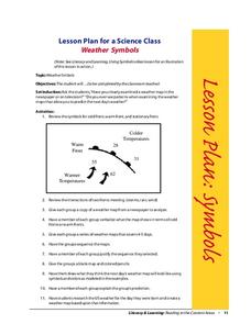
Students study weather symbols. In this weather symbols lesson, students review the symbols for cold, warm, and stationary fronts. Students use a weather map to study the weather symbols, complete a weather illustration and prediction...
American Geosciences Institute
American Geosciences Institute: Climate and Weather
Eight hands-on lessons module in which students explore climate and weather. Inquiry-based investigations include observing weather, weather reporting, weather maps, weather satellites, causes of weather, and climate change.
Other
Bureau of Meteorology: The Weather Map
Explains what a weather map is and how it is prepared. Describes what weather maps show, typical weather patterns in Australia, the use of weather charts, temperature, and wind speed.
National Geographic
National Geographic: Create a Weather Map
Students will learn about symbols that are used to represent weather and then use the day's weather to create a weather map for their state. Includes handouts and website links, as well as links to downloadable coloring books full of...
University of Wisconsin
Atmospheric and Oceanic Sciences: Surface Weather Analysis
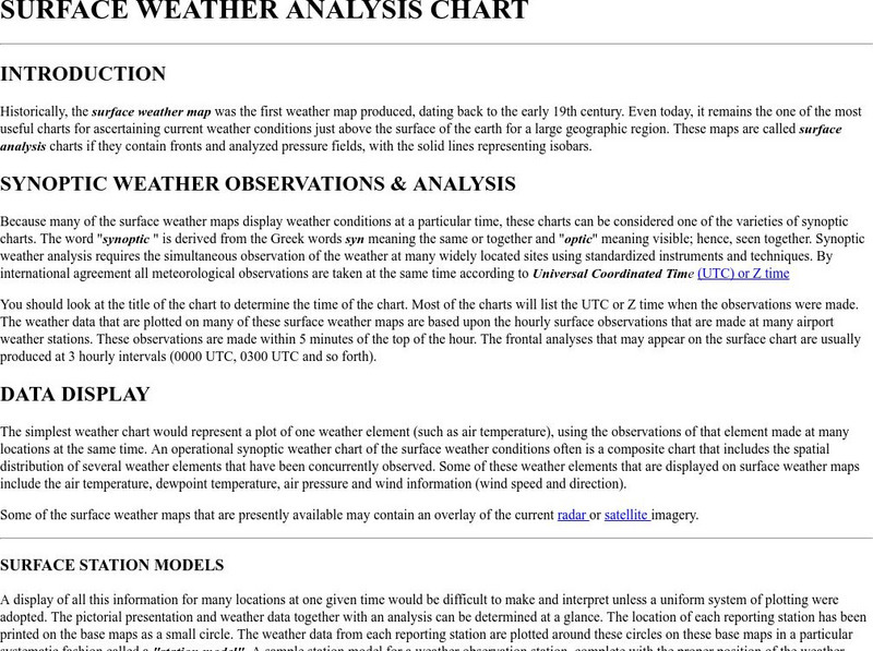
Explains the use of synoptic weather analysis in preparing weather maps and forecasting. Discusses the use of symbols as well.
CK-12 Foundation
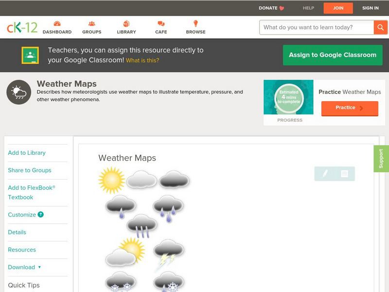
Ck 12: Earth Science: Weather Maps
[Free Registration/Login may be required to access all resource tools.] How meteorologists create and read weather maps.
Weather Wiz Kids
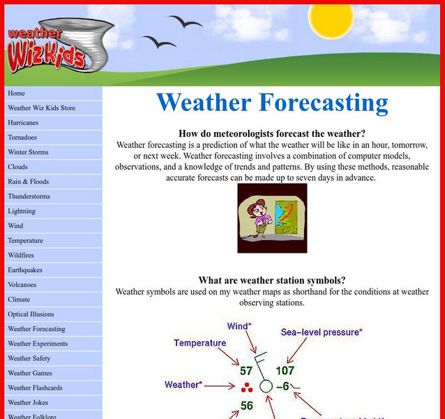
Weather Wiz Kids: Weather Forecasting
This comprehensive website is all about weather including forecasting, weather symbols, lesson plans, types of weather, causes of various kinds of severe weather, weather safety, and more. Check out the links down the left side.
Science and Mathematics Initiative for Learning Enhancement (SMILE)
Smile: Aspects of Weather
A detailed weather lesson plan written for the primary, intermediate, and junior high level. Topics covered are weather symbols, thermometer, graphing temperature results, clouds, moisture and air pressure.
New York Times
New York Times: Crossword Puzzle: Weather
The New York Times Learning Network has developed interactive and printable crossword puzzles. The theme of this one is weather.


